Old Maps of Barber Crossing, New Mexico for Metal Detecting
Plan your next treasure hunt with 11 historic maps of Barber Crossing. Find old homesites, ghost towns, trails, and gathering spots that may be lost to time — perfect for identifying promising metal detecting locations.
- Locate forgotten sites: Uncover places like long-lost settlements, abandoned rail lines, or gathering spots.
- Plan better hunts: Use map overlays combined with LiDAR or satellite views to narrow in on historically rich areas.
- Made for detectorists: Thousands of hobbyists use these maps to discover relics, coins, and hidden history.
Use these historic maps to boost your research and find new opportunities beneath the surface of Barber Crossing.
Barber Crossing, NM maps
(11)- 1943 Map of West Carlsbad, 1964 Print
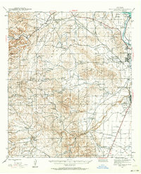 1943 West Carlsbad1964 Print · USGSEddy County ranchlands and military installations come alive in this mid-century survey of the Pecos River valley. Genealogists and historians can trace family operations at Lovejoy Ranch and Kee Ranch, or locate the Golden Eagle Mine and the Carlsbad Army Air Field.2 unique versions available
 - 1945 Map of West Carlsbad
 1945 West Carlsbad1945 Print · USGSEddy County ranching and military aviation meet in the mid-1940s as the Pecos River valley expands. Researchers can locate numerous historic homesteads like Lovejoy Ranch, the high-elevation Golden Eagle Mine, and the wartime Army Air Field.
 - 1954 Map of Carlsbad, 1963 Print
 1954 Carlsbad1963 Print · USGSSoutheastern New Mexico's desert peaks and river valleys appear in this mid-century study of the borderlands. Researchers can locate vanished sites like Sacramento City, trace the Pecos River reservoirs, and explore Carlsbad Caverns.3 unique versions available
 - 1958 Map of Carlsbad
 1958 Carlsbad1958 Print · USGSSoutheastern New Mexico in the mid-1950s shows a landscape of deep desert basins and high forest ranges during a period of steady ranching and early tourism. Researchers can trace the path of the Atchison Topeka and Santa Fe railroad or find vanished locales like Sacramento City (abandoned) and Whites City.2 unique versions available
 - 1979 Map of Carlsbad
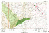 1979 Carlsbad1979 Print · USGSSoutheast New Mexico is captured here in the late seventies, showing the gateway to the caverns and the fertile Pecos Valley. Genealogists can trace family names near Black River Village or Otis, while collectors will find the Atchison Topeka and Santa Fe rail corridor and Avalon Lake clearly detailed.2 unique versions available
 - 1985 Map of Azotea Peak
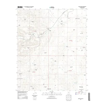
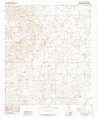 1985 Azotea Peak1985 Print · USGSEddy County in the mid-1980s reveals a high-desert landscape of prominent mesas and deep canyon systems. Researchers can trace the importance of desert water sources at Boyds Waterhole and Walt Spring while locating high-elevation landmarks like Azotea Peak.
 - 2010 Map of Azotea Peak, 2010 Print
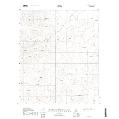
 2010 Azotea Peak2010 Print · USGSCovers Barber Crossing, including Eddy County, United States, and other nearby areas
 - 2013 Map of Azotea Peak, 2013 Print
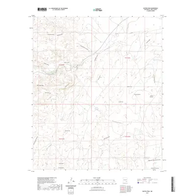
 2013 Azotea Peak2013 Print · USGSCovers Barber Crossing, including Eddy County, United States, and other nearby areas
 - 2017 Map of Azotea Peak, 2017 Print
 2017 Azotea Peak2017 Print · USGSCovers Barber Crossing, including Eddy County, United States, and other nearby areas
 - 2020 Map of Azotea Peak, 2020 Print
 2020 Azotea Peak2020 Print · USGSCovers Barber Crossing, including Eddy County, United States, and other nearby areas
 - 2023 Map of Azotea Peak, 2023 Print
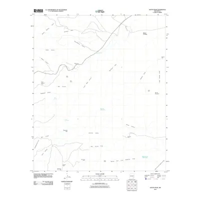
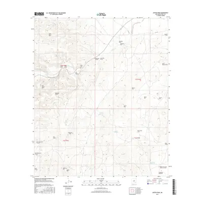
 2023 Azotea Peak2023 Print · USGSEddy County’s high desert landscape is shown here as it remains today, characterized by the prominent Seven Rivers Hills and a rugged network of canyons. Local history researchers can locate the Rocky Arroyo Cem or trace the drainage from Indian Big Spring through Schoolhouse Canyon.
End of results
Showing maps 1-11 of 11
Top cities near Barber Crossing
Frequently asked questions
- What are the different types of historical maps available for Barber Crossing?
- What is the oldest map of Barber Crossing?
- Where can I purchase historical maps of Barber Crossing for my home or office?
- Where can I download high-res historical maps of Barber Crossing?
- Are there historical topographic maps available for Barber Crossing?
- Is there historical aerial imagery available for Barber Crossing?
- Where are historical maps of Barber Crossing sourced from?