Old Maps of Carlsbad, New Mexico
Explore 31 old maps of Carlsbad, spanning from 1939 to today. These high-resolution historic maps reveal how streets, neighborhoods, landmarks, and natural features evolved over time — perfect for genealogy, metal detecting, research, and local history exploration.
What you can do with these maps:
- See how Carlsbad changed over time: Compare historical maps to modern-day views to trace roads, homesites, rail lines & more.
- View detailed metadata: Each map includes creators, publishers, year, scale, and archive source.
- Overlay maps with satellite & LiDAR: Visualize the past alongside modern tools to explore terrain & human change.
- Trusted historical sources: Maps sourced from the USGS, Library of Congress, and other archives.
- Access maps your way: View online, download high-res files, or order prints for personal or research use.
Start exploring old maps of Carlsbad to uncover forgotten places, hidden landmarks, and the deep history beneath your feet.
Carlsbad, NM maps
(31)- 1939 Map of Carlsbad, 1955 Print
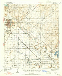 1939 Carlsbad1955 Print · USGSEddy County’s river-and-rail economy is captured here in the late 1930s, centered on the growing hub of Carlsbad. Researchers can trace the early footprint of the potash industry at the U S Potash Co Refinery and find local landmarks like the Harroun Sch and Forehand Ranch.2 unique versions available
 - 1943 Map of Carlsbad
 1943 Carlsbad1943 Print · USGSThe Pecos Valley during the early 1940s reveals a unique network of irrigation flumes and potash industrial sites. Researchers can trace family-named landmarks and rural infrastructure like Forehand Ranch, Harroun Sch, and the U S Potash Co Refinery.
 - 1943 Map of West Carlsbad, 1964 Print
 1943 West Carlsbad1964 Print · USGSEddy County ranchlands and military installations come alive in this mid-century survey of the Pecos River valley. Genealogists and historians can trace family operations at Lovejoy Ranch and Kee Ranch, or locate the Golden Eagle Mine and the Carlsbad Army Air Field.2 unique versions available
 - 1945 Map of West Carlsbad
 1945 West Carlsbad1945 Print · USGSEddy County ranching and military aviation meet in the mid-1940s as the Pecos River valley expands. Researchers can locate numerous historic homesteads like Lovejoy Ranch, the high-elevation Golden Eagle Mine, and the wartime Army Air Field.
 - 1954 Map of Carlsbad, 1963 Print
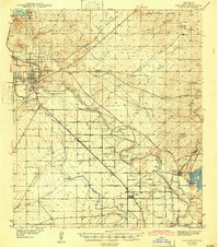
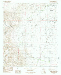
 1954 Carlsbad1963 Print · USGSSoutheastern New Mexico's desert peaks and river valleys appear in this mid-century study of the borderlands. Researchers can locate vanished sites like Sacramento City, trace the Pecos River reservoirs, and explore Carlsbad Caverns.3 unique versions available
 - 1958 Map of Carlsbad
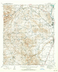
 1958 Carlsbad1958 Print · USGSSoutheastern New Mexico in the mid-1950s shows a landscape of deep desert basins and high forest ranges during a period of steady ranching and early tourism. Researchers can trace the path of the Atchison Topeka and Santa Fe railroad or find vanished locales like Sacramento City (abandoned) and Whites City.2 unique versions available
 - 1979 Map of Carlsbad
 1979 Carlsbad1979 Print · USGSSoutheast New Mexico is captured here in the late seventies, showing the gateway to the caverns and the fertile Pecos Valley. Genealogists can trace family names near Black River Village or Otis, while collectors will find the Atchison Topeka and Santa Fe rail corridor and Avalon Lake clearly detailed.2 unique versions available
 - 1985 Map of Kitchen Cove
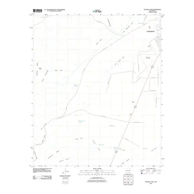
 1985 Kitchen Cove1985 Print · USGSEddy County ranchlands and energy fields are captured here during the mid-eighties as the region balanced aviation and resource extraction. Researchers can trace land use through features like the Sheep Draw Aqueduct, Yellow Jacket Spring, and the Carlsbad Cavern City Air Terminal.
 - 1985 Map of Otis
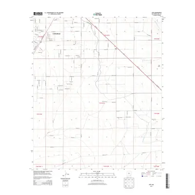
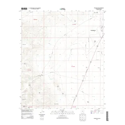
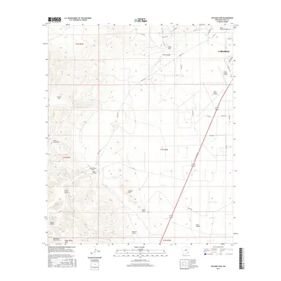
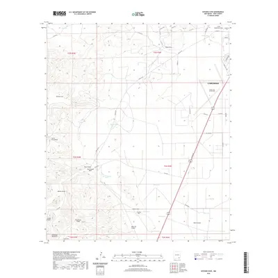
 1985 Otis1985 Print · USGSThe outskirts of Carlsbad and the rural community of Otis are captured in the mid-1980s as a landscape shaped by water and industry. Researchers can trace the engineering of the Southern Canal and locate specific sites like the local Radio Facility or regional Gravel Pits.
 - 1985 Map of Carlsbad East
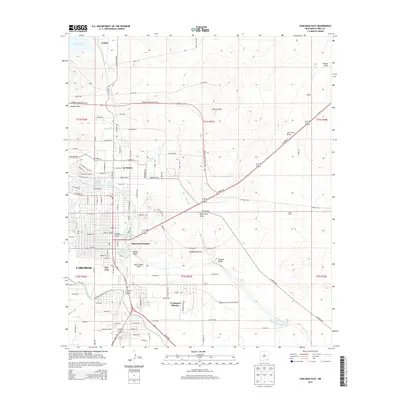
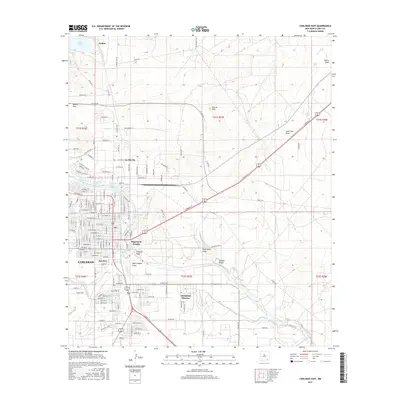
 1985 Carlsbad East1985 Print · USGSMid-century development in Eddy County shows the desert transformed by the oil industry and river irrigation. Genealogists and historians can trace the growth of Carlsbad and La Huerta alongside the Carlsbad Oil Field and the Pecos River.
 - 1985 Map of Carlsbad West
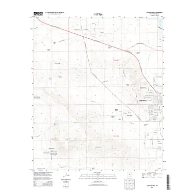
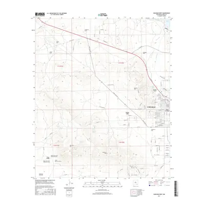
 1985 Carlsbad West1985 Print · USGSThe western reaches of the Pecos River valley are documented here in the mid-eighties as urban growth begins to climb into the nearby hills. Local researchers can trace residential developments like Happy Valley or locate old water sources like Mc Kitric Spring and Mc Gruder Spring.2 unique versions available
 - 2010 Map of Carlsbad East, 2010 Print
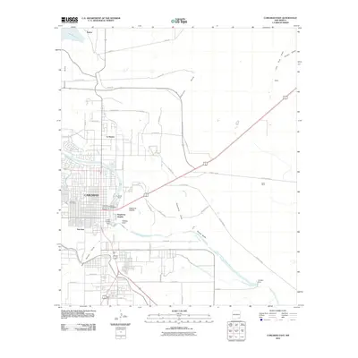 2010 Carlsbad East2010 Print · USGSCovers Carlsbad, including Avalon, La Huerta, and other nearby areas
 - 2010 Map of Carlsbad West, 2010 Print
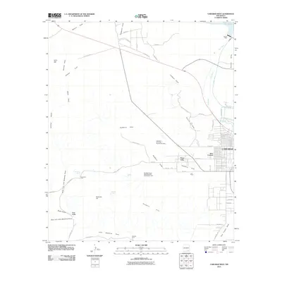 2010 Carlsbad West2010 Print · USGSCovers Carlsbad, including Four Forks, West Carlsbad, and other nearby areas
 - 2010 Map of Otis, 2010 Print
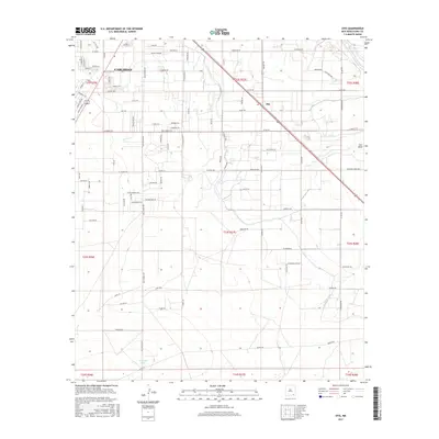
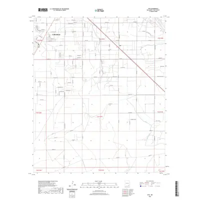
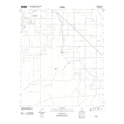 2010 Otis2010 Print · USGSCovers Carlsbad, including Otis, Eddy County, and other nearby areas
 - 2010 Map of Kitchen Cove, 2010 Print
 2010 Kitchen Cove2010 Print · USGSCovers Carlsbad, including Eddy County, United States, and other nearby areas
 - 2013 Map of Otis, 2013 Print
 2013 Otis2013 Print · USGSCovers Carlsbad, including Otis, Eddy County, and other nearby areas
 - 2013 Map of Carlsbad East, 2013 Print
 2013 Carlsbad East2013 Print · USGSCovers Carlsbad, including Avalon, La Huerta, and other nearby areas
 - 2013 Map of Kitchen Cove, 2013 Print
 2013 Kitchen Cove2013 Print · USGSCovers Carlsbad, including Eddy County, United States, and other nearby areas
 - 2013 Map of Carlsbad West, 2013 Print
 2013 Carlsbad West2013 Print · USGSCovers Carlsbad, including Four Forks, West Carlsbad, and other nearby areas
 - 2017 Map of Carlsbad East, 2017 Print
 2017 Carlsbad East2017 Print · USGSCovers Carlsbad, including Avalon, La Huerta, and other nearby areas
 - 2017 Map of Kitchen Cove, 2017 Print
 2017 Kitchen Cove2017 Print · USGSCovers Carlsbad, including Eddy County, United States, and other nearby areas
 - 2017 Map of Carlsbad West, 2017 Print
 2017 Carlsbad West2017 Print · USGSCovers Carlsbad, including Four Forks, West Carlsbad, and other nearby areas
 - 2017 Map of Otis, 2017 Print
 2017 Otis2017 Print · USGSCovers Carlsbad, including Otis, Eddy County, and other nearby areas
 - 2020 Map of Otis, 2020 Print
 2020 Otis2020 Print · USGSCovers Carlsbad, including Otis, Eddy County, and other nearby areas
 - 2020 Map of Kitchen Cove, 2020 Print
 2020 Kitchen Cove2020 Print · USGSCovers Carlsbad, including Eddy County, United States, and other nearby areas
Showing maps 1-25 of 31
Top cities near Carlsbad
Top neighborhoods of Carlsbad
Frequently asked questions
- What are the different types of historical maps available for Carlsbad?
- What is the oldest map of Carlsbad?
- Where can I purchase historical maps of Carlsbad for my home or office?
- Where can I download high-res historical maps of Carlsbad?
- Are there historical topographic maps available for Carlsbad?
- Is there historical aerial imagery available for Carlsbad?
- Where are historical maps of Carlsbad sourced from?