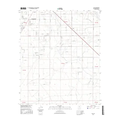
2017 Map of Otis
USGS Topo · Published 2017About this map
The southeastern outskirts of Carlsbad and the neighboring settlement of Otis are defined by a complex network of agricultural irrigation and desert terrain in this USGS study. The Pecos River winds through the northeast, while the Southern Canal and Municipal Lake illustrate the critical role of water management in this arid New Mexico landscape. The infrastructure reveals a blend of residential growth and industry, with roads like Oil Field Rd and Walker Farm Rd signaling the area's dual economic foundations in petroleum and farming.
Find a feature on this map
102 named features on this map. Tap any name to fly to it.
Don’t see what you’re looking for? This feature index may not catch every label — zoom into the map to look around manually.
Map Details
Editions of this 2017 Otis Map
This is the sole edition of this map. No revisions or reprints were ever made.
Other maps of this area
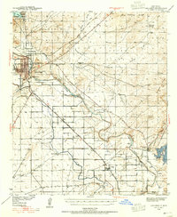
1939 · Carlsbad
USGS Topo · 1:62,500
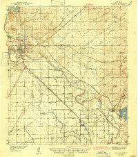
1943 · Carlsbad
USGS Topo · 1:62,500
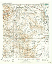
1943 · West Carlsbad
USGS Topo · 1:62,500
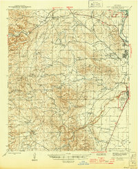
1945 · West Carlsbad
USGS Topo · 1:62,500
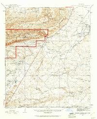
1945 · Carlsbad Caverns East
USGS Topo · 1:62,500
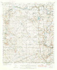
1945 · Malaga
USGS Topo · 1:62,500
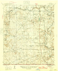
1946 · Malaga
USGS Topo · 1:62,500
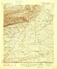
1947 · Carlsbad Caverns East
USGS Topo · 1:62,500
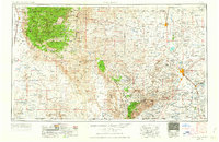
1954 · Carlsbad
USGS Topo · 1:250,000
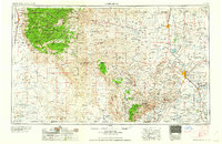
1958 · Carlsbad
USGS Topo · 1:250,000