Old Maps of Queen, New Mexico for Hiking & Exploration
Hike through history with 12 historic maps of Queen. Explore old trails, ghost towns, and forgotten backroads — perfect for outdoor adventurers and local explorers.
- Rediscover forgotten places: Map out old mining camps, roads, and footpaths that no longer exist on modern maps.
- Layer with modern tools: Combine with LiDAR or satellite views to plan hikes through historical terrain.
- Made for exploration: Popular among hikers, overlanders, and local history lovers.
Use these maps to find adventure and explore the hidden past of Queen.
Queen, NM maps
(12)- 1940 Map of Carlsbad Caverns West, 1955 Print
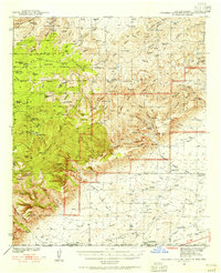 1940 Carlsbad Caverns West1955 Print · USGSThe Guadalupe Mountains of southern New Mexico are shown here just before the mid-century, revealing a remote ranching and caving landscape. Researchers can trace early family outposts like Able Ranch and Thurman Ranch or locate the numerous karst features such as Mudgetts Cave and Painted Grotto.5 unique versions available
 - 1943 Map of Carlsbad Caverns West
 1943 Carlsbad Caverns West1943 Print · USGSEddy County ranching outposts and the subterranean wonders of the Guadalupe Mountains are captured here in the early 1940s. Genealogists and historians can trace family land at Montgomery Ranch, visit the site of Queen (Ruins), or explore the springs at Sitting Bull Falls.
 - 1954 Map of Carlsbad, 1963 Print
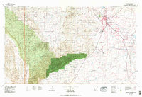
 1954 Carlsbad1963 Print · USGSSoutheastern New Mexico's desert peaks and river valleys appear in this mid-century study of the borderlands. Researchers can locate vanished sites like Sacramento City, trace the Pecos River reservoirs, and explore Carlsbad Caverns.3 unique versions available
 - 1958 Map of Carlsbad
 1958 Carlsbad1958 Print · USGSSoutheastern New Mexico in the mid-1950s shows a landscape of deep desert basins and high forest ranges during a period of steady ranching and early tourism. Researchers can trace the path of the Atchison Topeka and Santa Fe railroad or find vanished locales like Sacramento City (abandoned) and Whites City.2 unique versions available
 - 1979 Map of Queen
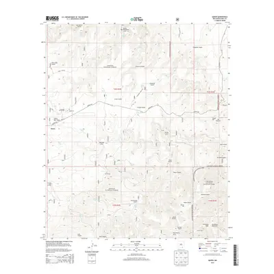
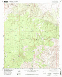 1979 Queen1979 Print · USGSThe settlement of Queen and the surrounding national forest are captured here in the late seventies. Researchers can trace land use through isolated sites like Putman Cabin, the Queen Cem, and the prominent Sitting Bull Falls.2 unique versions available
 - 1979 Map of Carlsbad
 1979 Carlsbad1979 Print · USGSSoutheast New Mexico is captured here in the late seventies, showing the gateway to the caverns and the fertile Pecos Valley. Genealogists can trace family names near Black River Village or Otis, while collectors will find the Atchison Topeka and Santa Fe rail corridor and Avalon Lake clearly detailed.2 unique versions available
 - 2001 Map of Queen, 2003 Print
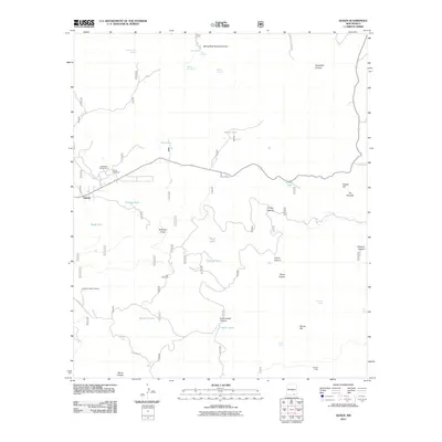
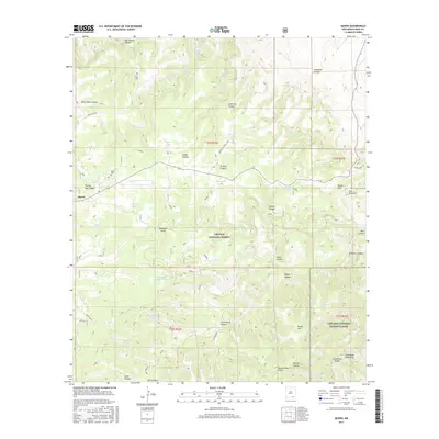
 2001 Queen2003 Print · USGSHigh-desert canyonlands in Eddy County were undergoing updated forest management at the turn of the century. Genealogists and historians can trace the settlement at Queen, the Queen Cem, and remote landmarks like Putman Cabin and Sitting Bull Falls.
 - 2011 Map of Queen, 2011 Print
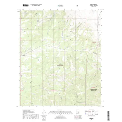
 2011 Queen2011 Print · USGSCovers Queen, including Eddy County, United States, and other nearby areas
 - 2013 Map of Queen, 2013 Print
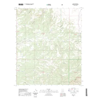
 2013 Queen2013 Print · USGSCovers Queen, including Eddy County, United States, and other nearby areas
 - 2017 Map of Queen, 2017 Print
 2017 Queen2017 Print · USGSCovers Queen, including Eddy County, United States, and other nearby areas
 - 2020 Map of Queen, 2020 Print
 2020 Queen2020 Print · USGSCovers Queen, including Eddy County, United States, and other nearby areas
 - 2023 Map of Queen, 2023 Print
 2023 Queen2023 Print · USGSThe high Guadalupe Mountains come into focus in the 2020s, showing the intersection of ranching history and national park lands. Researchers can trace family roots at Queen Cem and locate vital water sources like Sitting Bull Falls and White Oaks Spring.
End of results
Showing maps 1-12 of 12
Frequently asked questions
- What are the different types of historical maps available for Queen?
- What is the oldest map of Queen?
- Where can I purchase historical maps of Queen for my home or office?
- Where can I download high-res historical maps of Queen?
- Are there historical topographic maps available for Queen?
- Is there historical aerial imagery available for Queen?
- Where are historical maps of Queen sourced from?