
1940 Map of Carlsbad Caverns West
USGS Topo · Published 1955About this map
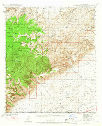
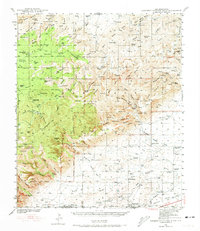
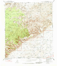
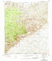
Sitting Bull Recreational Area anchors the northwestern corner of this Guadalupe Mountains landscape, where Sitting Bull Falls marks a prominent geological break in the limestone terrain. The 1940 survey documents a network of subterranean features that define the region's character, ranging from Cottonwood Cave and Black Cave in the west to the cluster of New Cave, Midnight Cave, and Ogle Cave further east. The settlement patterns of the era are centered on isolated ranching outposts such as Montgomery Ranch, Colwell Ranch, and Able Ranch, while the presence of Queen (Ruins) suggests an earlier phase of habitation near the Old Queen Road. High-elevation landmarks like The Pinnacle and Hess Hills rise above a complex system of drainages, including Slaughter Canyon and Rattlesnake Canyon, which carve deep paths through the high desert toward the Eddy and Culberson County line.
Find a feature on this map
103 named features on this map. Tap any name to fly to it.
Don’t see what you’re looking for? This feature index may not catch every label — zoom into the map to look around manually.
Map Details
Editions of this 1940 Carlsbad Caverns West Map
5 editions found
Other maps of this area

1933 · Guadalupe Peak
USGS Topo · 1:48,000

1935 · El Paso Gap
USGS Topo · 1:62,500

1936 · El Paso Gap
USGS Topo · 1:48,000

1940 · El Paso Gap
USGS Topo · 1:62,500

1940 · Guadalupe Peak
USGS Topo · 1:62,500

1940 · Bandanna Point
USGS Topo · 1:62,500

1943 · Carlsbad Caverns West
USGS Topo · 1:62,500

1943 · Bandanna Point
USGS Topo · 1:62,500

1943 · Texas Hill
USGS Topo · 1:62,500

1943 · West Carlsbad
USGS Topo · 1:62,500