
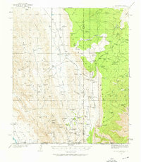
1935 Map of El Paso Gap
USGS Topo · Published 1954About this map
The Guadalupe Mountains dominate this mid-1930s landscape, where survival in the high desert is traced through a complex network of water tanks and remote cattle ranches. Life in the high canyons and plateaus is marked by family names like Thayer Ranch, Irabarne Ranch, and Shattuck Ranch, supported by vital water sources such as the Kneedeep Tank, Ira Lewis Tank, and Pickett Tanks. This era's infrastructure is sparse, evidenced by the small schoolhouses at Queen Sch and Dog Canyon Sch which served the isolated ranching community.
Find a feature on this map
118 named features on this map. Tap any name to fly to it.
Don’t see what you’re looking for? This feature index may not catch every label — zoom into the map to look around manually.
Map Details
Editions of this 1935 El Paso Gap Map
2 editions found
Other maps of this area

1933 · Guadalupe Peak
USGS Topo · 1:48,000

1936 · El Paso Gap
USGS Topo · 1:48,000

1940 · El Paso Gap
USGS Topo · 1:62,500

1940 · Guadalupe Peak
USGS Topo · 1:62,500

1940 · Bandanna Point
USGS Topo · 1:62,500

1940 · Carlsbad Caverns West
USGS Topo · 1:62,500

1943 · Carlsbad Caverns West
USGS Topo · 1:62,500

1943 · Bandanna Point
USGS Topo · 1:62,500

1943 · Texas Hill
USGS Topo · 1:62,500

1945 · Texas Hill
USGS Topo · 1:62,500