Old Maps of Buckhorn, New Mexico for Academic Research
Study the evolution of Buckhorn with 13 high-resolution historic maps. Whether you're teaching, researching, or modeling changes in land use, these maps provide essential visual documentation of urban, environmental, and geographic change.
- Analyze long-term change: Track patterns in development, transportation, and natural features.
- Ideal for environmental or urban studies: Support academic projects with primary historical map data.
- Use in the classroom or lab: Educators and researchers rely on these maps to bring historical context to life.
These maps are a powerful tool for teaching, research, and visualizing how Buckhorn has changed over the decades.
Buckhorn, NM maps
(13)- 1910 Map of Mogollon, 1959 Print
 1910 Mogollon1959 Print · USGSThe high mining camps and river settlements of Catron County come alive in this survey from the early 1900s. Genealogists and historians can trace old homesteads and industrial sites like the Meader Stage Sta, Box N Ranch, and the Power Plant near Graham.2 unique versions available
 - 1912 Map of Mogollon
 1912 Mogollon1912 Print · USGSNew Mexico's high timber and mining country come to life in this survey from the years just before statehood. Researchers can trace the early industrial footprint of Cooney and Mogollon or locate remote outposts like Meadows Stage Sta and N Bar Ranch.2 unique versions available
 - 1954 Map of Clifton, 1968 Print
 1954 Clifton1968 Print · USGSThe high timber and copper country of the Arizona-New Mexico border is captured here during the mid-fifties. Genealogists and historians can trace family holdings like the Double Circle Ranch or study the industrial footprint of the Smelting Plant at Clifton.3 unique versions available
 - 1957 Map of Clifton
 1957 Clifton1957 Print · USGSThe copper-mining district around Clifton and Morenci meets the high timberlands of the Mogollon Rim during the mid-1950s. Genealogists and researchers can trace family-named outposts and remote mountain settlements like Reserve, Stargo, and Fort Thomas.
 - 1958 Map of Clifton
 1958 Clifton1958 Print · USGSThe rugged high country of the Arizona-New Mexico border comes into focus in the mid-fifties, showing a landscape of mining camps and forest outposts. Genealogists and researchers can trace old settlements and remote sites like Mogollon, East Fork Mission, and the Tidwell Mine.
 - 1962 Map of Clifton
 1962 Clifton1962 Print · USGSThe copper-rich Arizona-New Mexico borderlands come into focus in the early sixties, centered on the mining complexes of Morenci and Clifton. Researchers can trace the Southern Pacific rail lines and locate remote outposts like Honeymoon and the Double Circle Ranch.
 - 1965 Map of Buckhorn, 1970 Print
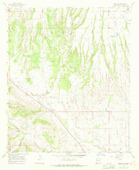 1965 Buckhorn1970 Print · USGSBuckhorn sits at a crossroads of ranching and high-desert drainage in Grant County during the mid-sixties. Researchers can locate remote water sources and landmarks like Horse Lake, the George Clark Tank, and the winding Sacaton Creek.2 unique versions available
 - 1985 Map of Mogollon Mountains
 1985 Mogollon Mountains1985 Print · USGSThe high wilderness of Catron and Grant counties is shown in the mid-1980s, documenting the remote canyons and peaks of the Gila region. Researchers can trace the proximity of historic mining sites like Confidence Mine to small mountain towns such as Mogollon and Glenwood.
 - 2011 Map of Buckhorn, 2011 Print
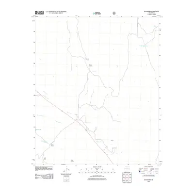 2011 Buckhorn2011 Print · USGSCovers Buckhorn, including Grant County, United States, and other nearby areas
 - 2013 Map of Buckhorn, 2013 Print
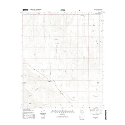 2013 Buckhorn2013 Print · USGSCovers Buckhorn, including Grant County, United States, and other nearby areas
 - 2017 Map of Buckhorn, 2017 Print
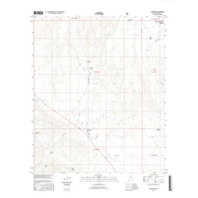 2017 Buckhorn2017 Print · USGSCovers Buckhorn, including Grant County, United States, and other nearby areas
 - 2020 Map of Buckhorn, 2020 Print
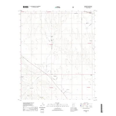 2020 Buckhorn2020 Print · USGSCovers Buckhorn, including Grant County, United States, and other nearby areas
 - 2023 Map of Buckhorn, 2023 Print
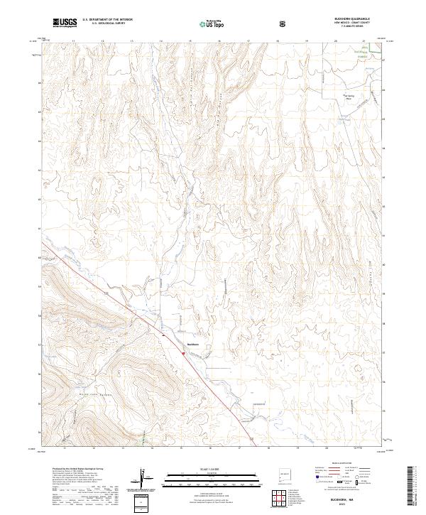 2023 Buckhorn2023 Print · USGSThe settlement of Buckhorn and the surrounding High Desert of Grant County are captured here in the early twenty-first century. Genealogists and researchers can trace the roads and water sources that define the area, from Mud Spring to the namesake Horse Lake.
End of results
Showing maps 1-13 of 13
Frequently asked questions
- What are the different types of historical maps available for Buckhorn?
- What is the oldest map of Buckhorn?
- Where can I purchase historical maps of Buckhorn for my home or office?
- Where can I download high-res historical maps of Buckhorn?
- Are there historical topographic maps available for Buckhorn?
- Is there historical aerial imagery available for Buckhorn?
- Where are historical maps of Buckhorn sourced from?