Old Maps of Gila Hot Springs, New Mexico for Hiking & Exploration
Hike through history with 14 historic maps of Gila Hot Springs. Explore old trails, ghost towns, and forgotten backroads — perfect for outdoor adventurers and local explorers.
- Rediscover forgotten places: Map out old mining camps, roads, and footpaths that no longer exist on modern maps.
- Layer with modern tools: Combine with LiDAR or satellite views to plan hikes through historical terrain.
- Made for exploration: Popular among hikers, overlanders, and local history lovers.
Use these maps to find adventure and explore the hidden past of Gila Hot Springs.
Gila Hot Springs, NM maps
(14)- 1911 Map of Alum Mountain, 1959 Print
 1911 Alum Mountain1959 Print · USGSThe upper Gila River wilderness is documented here just after the turn of the century, showing a landscape of remote cattle ranches and early mining claims. Genealogists and researchers can trace family-named sites like TJ Ranch and the Meerschaum Mine, or locate the Gila Cliff-Dwellings National Monument.
 - 1913 Map of Alum Mountain
 1913 Alum Mountain1913 Print · USGSNew Mexico's high wilderness is captured here just after statehood, documenting the remote ranching outposts and ancient sites along the Gila River. Researchers can locate early twentieth-century landmarks like Gila Cliff Dwellings National Monument, the Meerschaum Mine, and the XSX Ranch.3 unique versions available
 - 1954 Map of Clifton, 1968 Print
 1954 Clifton1968 Print · USGSThe high timber and copper country of the Arizona-New Mexico border is captured here during the mid-fifties. Genealogists and historians can trace family holdings like the Double Circle Ranch or study the industrial footprint of the Smelting Plant at Clifton.3 unique versions available
 - 1957 Map of Clifton
 1957 Clifton1957 Print · USGSThe copper-mining district around Clifton and Morenci meets the high timberlands of the Mogollon Rim during the mid-1950s. Genealogists and researchers can trace family-named outposts and remote mountain settlements like Reserve, Stargo, and Fort Thomas.
 - 1958 Map of Clifton
 1958 Clifton1958 Print · USGSThe rugged high country of the Arizona-New Mexico border comes into focus in the mid-fifties, showing a landscape of mining camps and forest outposts. Genealogists and researchers can trace old settlements and remote sites like Mogollon, East Fork Mission, and the Tidwell Mine.
 - 1962 Map of Clifton
 1962 Clifton1962 Print · USGSThe copper-rich Arizona-New Mexico borderlands come into focus in the early sixties, centered on the mining complexes of Morenci and Clifton. Researchers can trace the Southern Pacific rail lines and locate remote outposts like Honeymoon and the Double Circle Ranch.
 - 1965 Map of Gila Hot Springs, 1970 Print
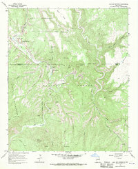 1965 Gila Hot Springs1970 Print · USGSGila Hot Springs and the surrounding wilderness are captured in the mid-1960s before modern development altered this remote canyon country. Researchers can trace historical sites like the T J Ruins, X S X Ranch, and the early layout of the Gila Visitors Center.
 - 1985 Map of Mogollon Mountains
 1985 Mogollon Mountains1985 Print · USGSThe high wilderness of Catron and Grant counties is shown in the mid-1980s, documenting the remote canyons and peaks of the Gila region. Researchers can trace the proximity of historic mining sites like Confidence Mine to small mountain towns such as Mogollon and Glenwood.
 - 1999 Map of Gila Hot Springs, 2002 Print
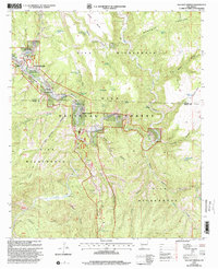 1999 Gila Hot Springs2002 Print · USGSGila Hot Springs and the surrounding wilderness are captured here in the late twentieth century, showing a landscape defined by deep canyons and river forks. Researchers can locate ranching sites and remote outposts like X S X Ranch, Lyons Lodge, and Alum Camp.
 - 2011 Map of Gila Hot Springs, 2011 Print
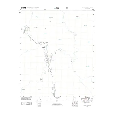 2011 Gila Hot Springs2011 Print · USGSThe forks of the Gila River come together in this mountain landscape during the early 2000s. Researchers can locate remote backcountry sites like Gila Hot Springs, the X S X Ranch, and specialized mining features such as Alunogen Tunnel Number 1.
 - 2013 Map of Gila Hot Springs, 2013 Print
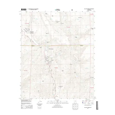 2013 Gila Hot Springs2013 Print · USGSGila Hot Springs and the Gila wilderness appear in detail during the early 21st century. Researchers can locate the Gila Cliff Dwellings National Monument, family-named landmarks like Montoya Pasture, and Lyons Hunting Lodge Hot Spring.
 - 2017 Map of Gila Hot Springs, 2017 Print
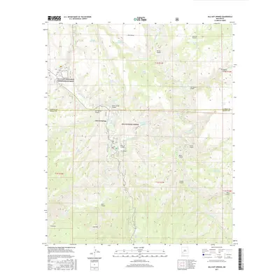 2017 Gila Hot Springs2017 Print · USGSGila Hot Springs and the surrounding national forest are captured here in the late twenty-first century as the Gila River forks through deep canyons. Researchers can trace the layout of the Gila Cliff Dwellings National Monument and remote sites like Lyons Hunting Lodge Hot Spring and El Rincon.
 - 2020 Map of Gila Hot Springs, 2020 Print
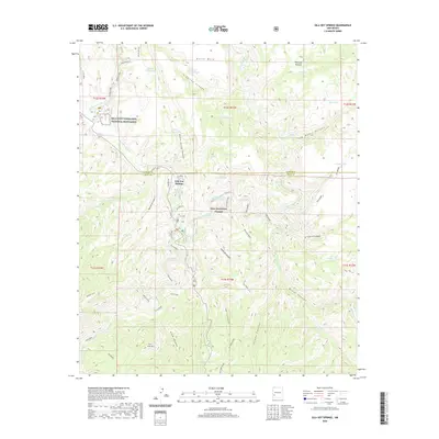 2020 Gila Hot Springs2020 Print · USGSUpper Gila River country in the twenty-first century remains a landscape of deep canyons and thermal springs. Researchers can locate the historic Lyons Hunting Lodge Hot Spring, the remote Alum Camp, and the renowned Gila Cliff Dwellings National Monument.
 - 2023 Map of Gila Hot Springs, 2023 Print
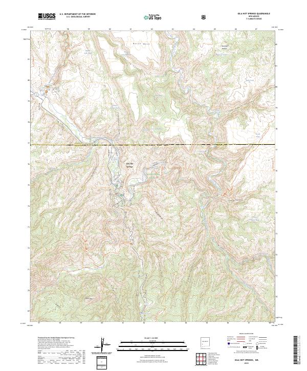 2023 Gila Hot Springs2023 Print · USGSThe high wilderness and deep canyons of Southwest New Mexico are captured in this modern survey. Researchers can trace the protected heritage of the Gila Cliff Dwellings National Monument and early sites like Lyons Hunting Lodge Hot Spring.
End of results
Showing maps 1-14 of 14
Frequently asked questions
- What are the different types of historical maps available for Gila Hot Springs?
- What is the oldest map of Gila Hot Springs?
- Where can I purchase historical maps of Gila Hot Springs for my home or office?
- Where can I download high-res historical maps of Gila Hot Springs?
- Are there historical topographic maps available for Gila Hot Springs?
- Is there historical aerial imagery available for Gila Hot Springs?
- Where are historical maps of Gila Hot Springs sourced from?