Old Maps of Pastura, New Mexico for Hiking & Exploration
Hike through history with 9 historic maps of Pastura. Explore old trails, ghost towns, and forgotten backroads — perfect for outdoor adventurers and local explorers.
- Rediscover forgotten places: Map out old mining camps, roads, and footpaths that no longer exist on modern maps.
- Layer with modern tools: Combine with LiDAR or satellite views to plan hikes through historical terrain.
- Made for exploration: Popular among hikers, overlanders, and local history lovers.
Use these maps to find adventure and explore the hidden past of Pastura.
Pastura, NM maps
(9)- 1954 Map of Fort Sumner, 1964 Print
 1954 Fort Sumner1964 Print · USGSEast-central New Mexico's ranching and rail heartland is captured here in the mid-1950s, centered on the strategic junctions of the high plains. Researchers can trace the development of early highway networks and rail towns like Vaughn, Fort Sumner, and the copper operations at Guadalupe Mine.3 unique versions available
 - 1958 Map of Fort Sumner
 1958 Fort Sumner1958 Print · USGSEast-central New Mexico in the mid-fifties is captured here as a sprawling landscape of high mesas and cattle ranching. Researchers can trace the convergence of the Southern Pacific railroad at Vaughn and locate family landmarks like Borica School or Marquez Ranch.
 - 1978 Map of Pastura
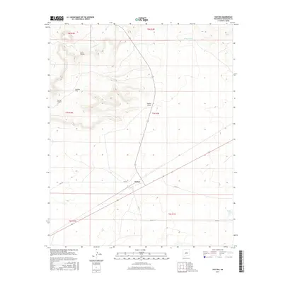
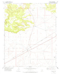 1978 Pastura1978 Print · USGSPastura and the surrounding Guadalupe County ranch lands are captured in the late seventies as the railroad still dictated the pace of life. Genealogists and historians can trace the SOUTHERN PACIFIC line, the town Cem, and essential water sources like Martinez Windmill.
 - 1984 Map of Santa Rosa, 1992 Print
 1984 Santa Rosa1992 Print · USGSEast-central New Mexico is captured here in the mid-1980s, centered on the strategic river crossing at Santa Rosa. Researchers can trace family-named landforms and small outposts like Puerto de Luna, Pastura, and the varied arroyos feeding into Lake Sumner.
 - 2010 Map of Pastura, 2010 Print
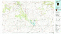
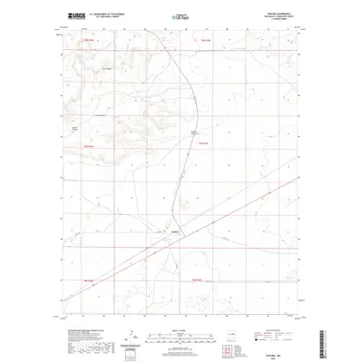
 2010 Pastura2010 Print · USGSCovers Pastura, including Guadalupe County, United States, and other nearby areas
 - 2013 Map of Pastura, 2013 Print
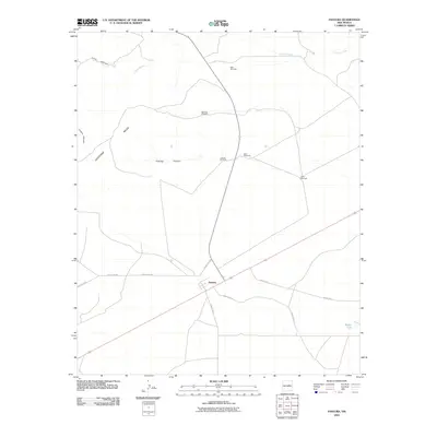
 2013 Pastura2013 Print · USGSCovers Pastura, including Guadalupe County, United States, and other nearby areas
 - 2017 Map of Pastura, 2017 Print
 2017 Pastura2017 Print · USGSCovers Pastura, including Guadalupe County, United States, and other nearby areas
 - 2020 Map of Pastura, 2020 Print
 2020 Pastura2020 Print · USGSCovers Pastura, including Guadalupe County, United States, and other nearby areas
 - 2023 Map of Pastura, 2023 Print
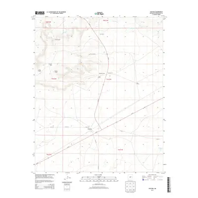
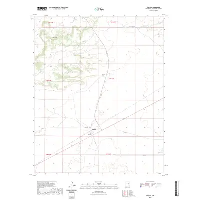 2023 Pastura2023 Print · USGSGuadalupe County’s high plains and mesas are captured here in the early twenty-first century. Researchers can trace the settlement at Pastura, locate the Saint Helen Cem, and explore the geography of Argonne Mesa and Little Canyon.
End of results
Showing maps 1-9 of 9
Frequently asked questions
- What are the different types of historical maps available for Pastura?
- What is the oldest map of Pastura?
- Where can I purchase historical maps of Pastura for my home or office?
- Where can I download high-res historical maps of Pastura?
- Are there historical topographic maps available for Pastura?
- Is there historical aerial imagery available for Pastura?
- Where are historical maps of Pastura sourced from?