2000s (21st Century) Maps of Virden, New Mexico
Explore 10 historic maps of Virden from the 2000s (21st Century). These maps offer a rare glimpse into what life looked like during the 2000s — showing old roads, neighborhoods, homes, and landmarks that have changed or disappeared over time.
Whether you're researching your family's past, planning a metal detecting trip, or studying how Virden's landscape evolved across the 2000s, these high-resolution maps are a powerful tool for exploring the history of this region.
- Focus on a specific era: All maps on this page are from the 2000s, giving you a focused view of this time period.
- See what’s changed: Compare century-old streets, trails, and buildings to today's modern landscape using overlays and satellite layers.
- Research with precision: Use these maps for genealogy, historical research, land use analysis, or educational projects.
- View, download, or print: Maps are fully viewable online in high resolution, and can be downloaded or printed for your own records.
Start exploring Virden's history through authentic maps from the 2000s. This is your window into the past.
Virden, NM maps
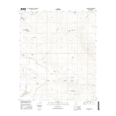
(10)- 2010 Map of Canador Peak, 2010 Print
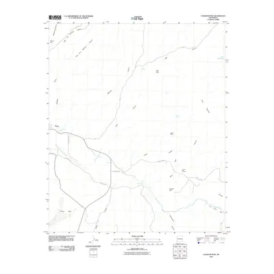 2010 Canador Peak2010 Print · USGSCovers Virden, including Hidalgo County, United States, and other nearby areas
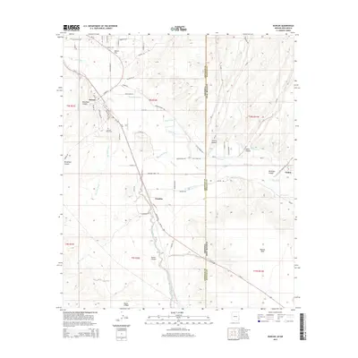
 - 2010 Map of Duncan, 2010 Print
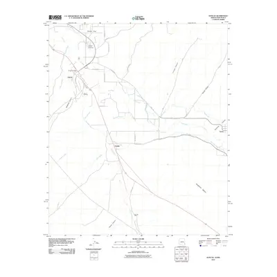 2010 Duncan2010 Print · USGSCovers Virden, including Duncan, Franklin, and other nearby areas
 - 2011 Map of Duncan, 2011 Print
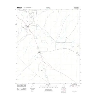 2011 Duncan2011 Print · USGSCovers Virden, including Duncan, Franklin, and other nearby areas
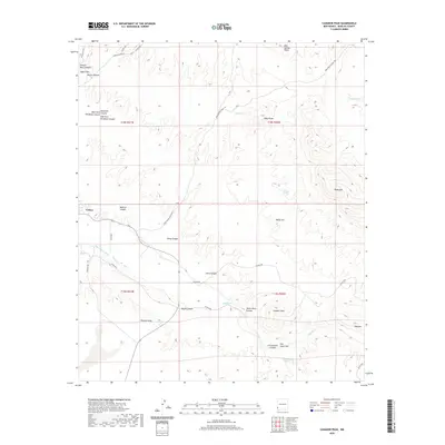
 - 2013 Map of Canador Peak, 2013 Print
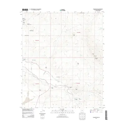 2013 Canador Peak2013 Print · USGSCovers Virden, including Hidalgo County, United States, and other nearby areas
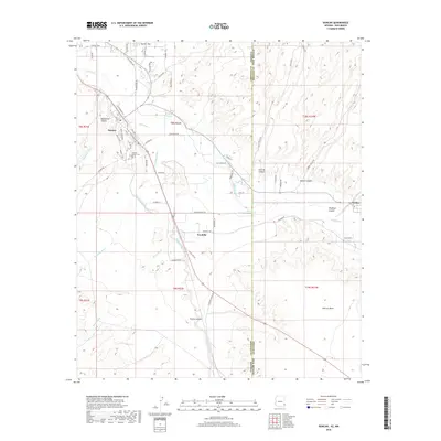
 - 2014 Map of Duncan, 2014 Print
 2014 Duncan2014 Print · USGSCovers Virden, including Duncan, Franklin, and other nearby areas
 - 2017 Map of Canador Peak, 2017 Print
 2017 Canador Peak2017 Print · USGSCovers Virden, including Hidalgo County, United States, and other nearby areas
 - 2018 Map of Duncan, 2018 Print
 2018 Duncan2018 Print · USGSCovers Virden, including Duncan, Franklin, and other nearby areas
 - 2020 Map of Canador Peak, 2020 Print
 2020 Canador Peak2020 Print · USGSCovers Virden, including Hidalgo County, United States, and other nearby areas
 - 2021 Map of Duncan, 2021 Print
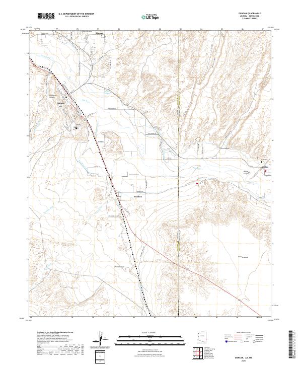 2021 Duncan2021 Print · USGSThe Arizona-New Mexico border comes into focus in the early 2020s, highlighting the shared river-valley economy of Duncan and Virden. Local researchers can trace family landmarks and irrigation history through the New Model Canal and the Duncan Valley Cem.
 - 2023 Map of Canador Peak, 2023 Print
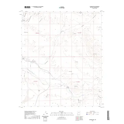 2023 Canador Peak2023 Print · USGSNear the Arizona border in the early 2020s, the settlement of Virden remains anchored by the Gila River and its vital irrigation works. Researchers can trace historical water routes like the Sunset Canal or locate family sites near the Virden Catholic Cem.
End of results
Showing maps 1-10 of 10
Top cities near Virden
Frequently asked questions
- What are the different types of historical maps available for Virden?
- What is the oldest map of Virden?
- Where can I purchase historical maps of Virden for my home or office?
- Where can I download high-res historical maps of Virden?
- Are there historical topographic maps available for Virden?
- Is there historical aerial imagery available for Virden?
- Where are historical maps of Virden sourced from?