Old Maps of Virden, New Mexico for Hiking & Exploration
Hike through history with 19 historic maps of Virden. Explore old trails, ghost towns, and forgotten backroads — perfect for outdoor adventurers and local explorers.
- Rediscover forgotten places: Map out old mining camps, roads, and footpaths that no longer exist on modern maps.
- Layer with modern tools: Combine with LiDAR or satellite views to plan hikes through historical terrain.
- Made for exploration: Popular among hikers, overlanders, and local history lovers.
Use these maps to find adventure and explore the hidden past of Virden.
Virden, NM maps
(19)- 1954 Map of Silver City, 1967 Print
 1954 Silver City1967 Print · USGSSoutheast Arizona and southwest New Mexico meet in this mid-century survey of the high desert and mountain mining districts. Local researchers can trace the rail lines through Lordsburg, the silver operations at Ash Peak Mines, and the limits of Fort Bayard Military Reservation.4 unique versions available
 - 1958 Map of Silver City
 1958 Silver City1958 Print · USGSSouthwestern New Mexico and eastern Arizona appear here in the mid-1950s, a period of intensive mining and rail activity. Trace the routes of the Southern Pacific RR through Lordsburg or locate historic operations at the Chino Mine and Santa Rita.
 - 1959 Map of Canador Peak, 1960 Print
 1959 Canador Peak1960 Print · USGSThe Gila River valley and its surrounding high-desert mesas come alive in the late fifties, showcasing a landscape of isolated ranching and early mining. Genealogists and historians can trace the Southern Pacific Railroad or locate local landmarks like Virden and the Consolation Mine.3 unique versions available
 - 1960 Map of Duncan, 1961 Print
 1960 Duncan1961 Print · USGSThe Gila River valley along the Arizona-New Mexico border is captured here in the early 1960s as a thriving corridor of rail and irrigation. Researchers can trace the Southern Pacific line through Duncan and Franklin, or locate family sites like Cox Ranch and Rainville Ranch.4 unique versions available
 - 1962 Map of Silver City
 1962 Silver City1962 Print · USGSThe high desert borderlands of New Mexico and Arizona come alive in this early sixties survey. Genealogists and historians can trace the mining economy through the Chino Mine, follow the rail routes of the Southern Pacific, or locate settlements like Virden and Bayard.
 - 1986 Map of Duncan, 1987 Print
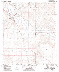 1986 Duncan1987 Print · USGSIn the mid-1980s, the Gila River valley along the Arizona-New Mexico state line was a vital agricultural corridor shaped by rail and irrigation. Genealogists and local historians can trace the irrigation networks of the Sunset Canal and locate landmarks like the Cotton Gin and Cem near Duncan.2 unique versions available
 - 1990 Map of Canador Peak, 1991 Print
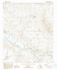 1990 Canador Peak1991 Print · USGSHidalgo County ranching and river life are preserved here in the late twentieth century, before modern changes altered the valley. Trace irrigation works near Virden, find the isolated Mine Shafts by Riley Peaks, or locate the Landing Strip on the valley floor.
 - 1994 Map of Silver City
 1994 Silver City1994 Print · USGSThe mining heart of Grant County is revealed in the mid-1990s as the massive industrial footprints of the copper industry shaped the landscape. Genealogists and historians can trace the rail lines of the Atchison Topeka and Santa Fe RR or locate landmarks like Fort Bayard State Medical Center and White Signal.
 - 1994 Map of Safford
 1994 Safford1994 Print · USGSSoutheastern Arizona and the New Mexico borderlands come into focus in the mid-1990s, highlighting the irrigation-fed life of the Gila Valley. Genealogists and researchers can trace local landmarks like Eastern Arizona College, the Southern Pacific RR, and settlements from Artesia to Virden.2 unique versions available
 - 2010 Map of Canador Peak, 2010 Print
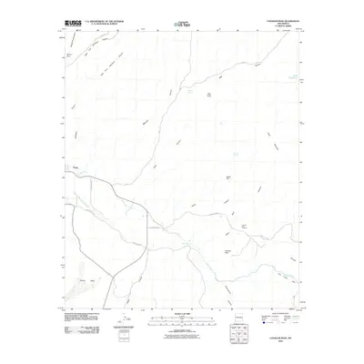 2010 Canador Peak2010 Print · USGSAgricultural life in the Gila River valley is captured here in the early twenty-first century as the desert landscape meets the irrigated fields of Virden. Researchers can trace local water management through the Sunset Canal and locate landmarks like Canador Peak and Riley Spring.
 - 2010 Map of Duncan, 2010 Print
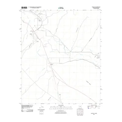 2010 Duncan2010 Print · USGSThe Gila River valley at the Arizona-New Mexico border shows its agricultural heart during the early twenty-first century. Genealogists and local historians can trace family locations near Franklin, the Rainville Ranch, or the Duncan Cemetery.
 - 2011 Map of Duncan, 2011 Print
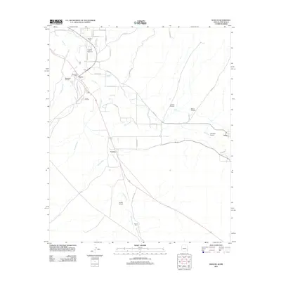 2011 Duncan2011 Print · USGSThe Gila River valley at the Arizona-New Mexico border is captured here in the early twenty-first century. Genealogists and local historians can trace family-named sites like Rainville Ranch or locate the Duncan Cemetery and Duncan Post Office.
 - 2013 Map of Canador Peak, 2013 Print
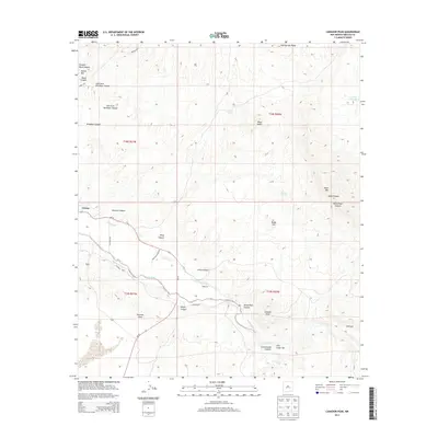 2013 Canador Peak2013 Print · USGSVirden and the western reaches of the Gila River valley are captured here in the early twenty-first century. Researchers can trace the vital irrigation networks of the Sunset Canal and New Model Canal or locate local landmarks like Canador Peak and Pearson Mesa.
 - 2014 Map of Duncan, 2014 Print
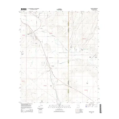 2014 Duncan2014 Print · USGSThe Arizona-New Mexico borderlands come into focus in the early 2010s, where the Gila River supports a vital agricultural valley. Genealogists and local historians can trace the irrigation networks of the Sunset Canal and locate the Duncan Valley Cem.
 - 2017 Map of Canador Peak, 2017 Print
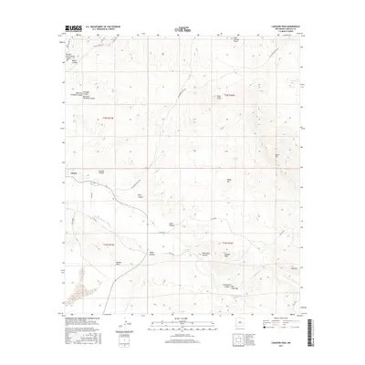 2017 Canador Peak2017 Print · USGSThe agricultural community of Virden and its vital irrigation canals are shown here in the late 2010s. Researchers can trace the path of the Gila River through the Gila Lower Box and locate landmarks like Canador Peak and Pearson Mesa.
 - 2018 Map of Duncan, 2018 Print
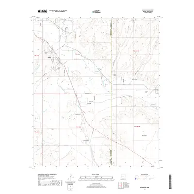 2018 Duncan2018 Print · USGSThe borderlands of Arizona and New Mexico come into focus in this late 2010s survey of the Gila River Valley. Researchers can trace historic irrigation routes like the Sunset Canal or find family landmarks near Duncan and the Duncan Valley Cem.
 - 2020 Map of Canador Peak, 2020 Print
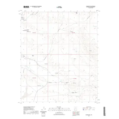 2020 Canador Peak2020 Print · USGSVirden sits at the edge of a critical river corridor in Hidalgo County as captured in this recent survey. Local researchers can trace the intricate New Model Canal system and find landmarks like Canador Peak, Pearson Mesa, and the Gila Lower Box.
 - 2021 Map of Duncan, 2021 Print
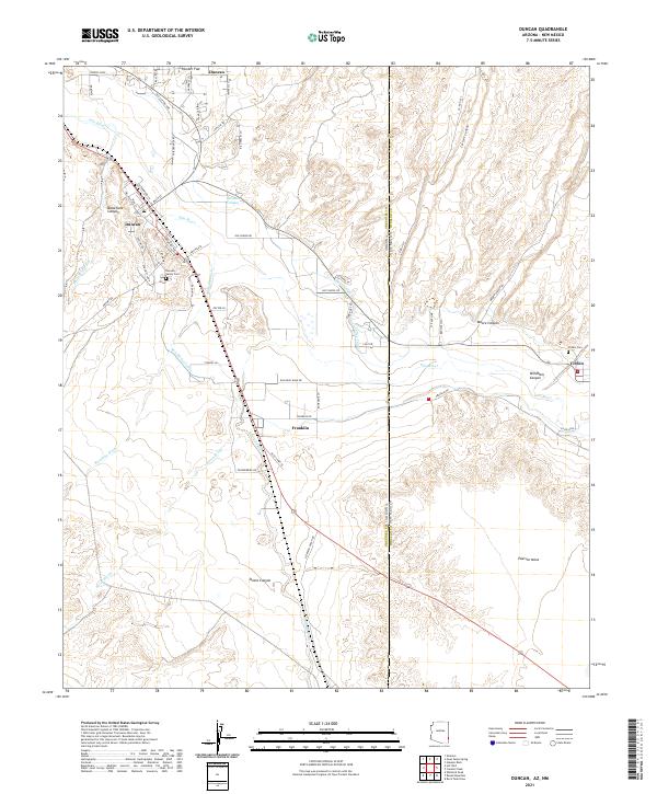 2021 Duncan2021 Print · USGSThe Arizona-New Mexico border comes into focus in the early 2020s, highlighting the shared river-valley economy of Duncan and Virden. Local researchers can trace family landmarks and irrigation history through the New Model Canal and the Duncan Valley Cem.
 - 2023 Map of Canador Peak, 2023 Print
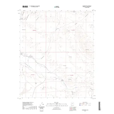 2023 Canador Peak2023 Print · USGSNear the Arizona border in the early 2020s, the settlement of Virden remains anchored by the Gila River and its vital irrigation works. Researchers can trace historical water routes like the Sunset Canal or locate family sites near the Virden Catholic Cem.
End of results
Showing maps 1-19 of 19
Top cities near Virden
Frequently asked questions
- What are the different types of historical maps available for Virden?
- What is the oldest map of Virden?
- Where can I purchase historical maps of Virden for my home or office?
- Where can I download high-res historical maps of Virden?
- Are there historical topographic maps available for Virden?
- Is there historical aerial imagery available for Virden?
- Where are historical maps of Virden sourced from?