Old Maps of Arkansas Junction, New Mexico for Academic Research
Study the evolution of Arkansas Junction with 9 high-resolution historic maps. Whether you're teaching, researching, or modeling changes in land use, these maps provide essential visual documentation of urban, environmental, and geographic change.
- Analyze long-term change: Track patterns in development, transportation, and natural features.
- Ideal for environmental or urban studies: Support academic projects with primary historical map data.
- Use in the classroom or lab: Educators and researchers rely on these maps to bring historical context to life.
These maps are a powerful tool for teaching, research, and visualizing how Arkansas Junction has changed over the decades.
Arkansas Junction, NM maps
(9)- 1954 Map of Hobbs, 1963 Print
 1954 Hobbs1963 Print · USGSThe High Plains and Permian Basin transition is captured here at the height of the mid-century energy boom. Genealogists and industrial historians can trace the foundations of Humble City, locate the Potash Mine and Plant, and follow the Texas-New Mexico RR.2 unique versions available
 - 1958 Map of Hobbs
 1958 Hobbs1958 Print · USGSThe High Plains of the Texas-New Mexico border are shown here during the height of the mid-century oil boom. Genealogists and historians can trace the development of Hobbs, Lovington, and Jal, alongside ranching landmarks like James Ranch and the early Texas-New Mexico Railway.
 - 1963 Map of Monument, 1964 Print
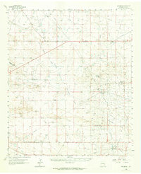 1963 Monument1964 Print · USGSThe high plains of Lea County in the early sixties reveal a landscape shaped by the mid-century oil boom and traditional ranching. Researchers can trace family history at Crockett Cem or locate the infrastructure of the Pearl Oil Field and the Texas-New Mexico RR.
 - 1985 Map of Monument North
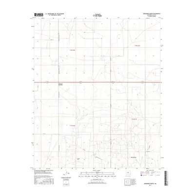
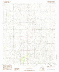 1985 Monument North1985 Print · USGSLea County's industrial and ranching landscape is captured here in the mid-eighties, showing a region adapted for energy production. Researchers can locate the community of Monument, the essential Monument Springs, and industrial sites like the local Gas Plant.
 - 2010 Map of Monument North, 2010 Print
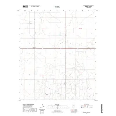
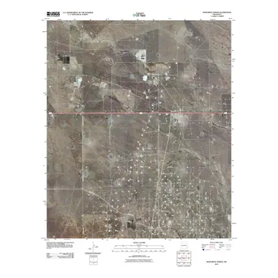 2010 Monument North2010 Print · USGSCovers Arkansas Junction, including Lea County, United States, and other nearby areas
 - 2013 Map of Monument North, 2013 Print
 2013 Monument North2013 Print · USGSCovers Arkansas Junction, including Lea County, United States, and other nearby areas
 - 2017 Map of Monument North, 2017 Print
 2017 Monument North2017 Print · USGSCovers Arkansas Junction, including Lea County, United States, and other nearby areas
 - 2020 Map of Monument North, 2020 Print
 2020 Monument North2020 Print · USGSCovers Arkansas Junction, including Lea County, United States, and other nearby areas
 - 2023 Map of Monument North, 2023 Print
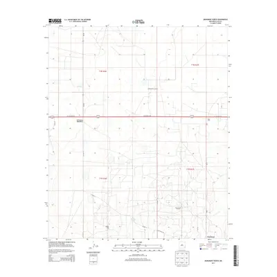
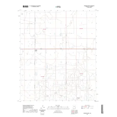 2023 Monument North2023 Print · USGSLea County's high plains come into focus in this recent survey of the region surrounding Monument. Genealogists and local historians can trace the paths of Pearl Valley Rd and S Arkansas Junction toward the essential Monument Springs.
End of results
Showing maps 1-9 of 9
Top cities near Arkansas Junction
Frequently asked questions
- What are the different types of historical maps available for Arkansas Junction?
- What is the oldest map of Arkansas Junction?
- Where can I purchase historical maps of Arkansas Junction for my home or office?
- Where can I download high-res historical maps of Arkansas Junction?
- Are there historical topographic maps available for Arkansas Junction?
- Is there historical aerial imagery available for Arkansas Junction?
- Where are historical maps of Arkansas Junction sourced from?