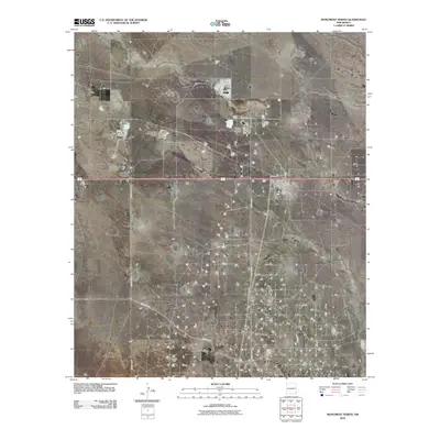
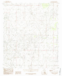
2010 Map of Monument North
USGS Topo · Published 2010About this map
The energy-rich Permian Basin landscape of Lea County is defined here by a network of industrial infrastructure and isolated ranching outposts. Industrial development is anchored by the Hobbs Natural Gas Plant and the Maddox Power Company, reflecting the mid-20th-century expansion of the regional power and gas sectors. The map also records specialized mineral extraction at the M18847 Mine near Arkansas Junction.
Find a feature on this map
11 named features on this map. Tap any name to fly to it.
Don’t see what you’re looking for? This feature index may not catch every label — zoom into the map to look around manually.
Map Details
Editions of this 2010 Monument North Map
This is the sole edition of this map. No revisions or reprints were ever made.
Other maps of this area

1954 · Hobbs
USGS Topo · 1:250,000

1958 · Hobbs
USGS Topo · 1:250,000
1962 · Lovington
USGS Topo · 1:62,500
1963 · Monument
USGS Topo · 1:62,500
1969 · Humble City
USGS Topo · 1:24,000
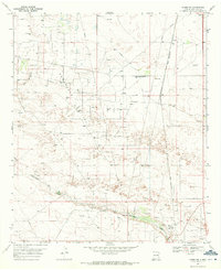
1969 · Hobbs SW
USGS Topo · 1:24,000
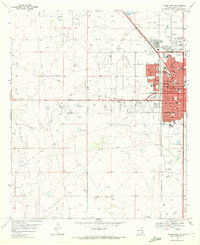
1969 · Hobbs West
USGS Topo · 1:24,000
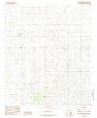
1985 · Monument North
USGS Topo · 1:24,000
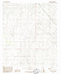
1985 · Lovington SE
USGS Topo · 1:24,000
1985 · Lovington SW
USGS Topo · 1:24,000