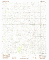
1985 Map of Monument North
USGS Topo · Published 1985About this map
Monument Springs serves as a critical water source in this arid high-desert landscape of Lea County, anchoring a region defined by industrial development and scattered settlements. During the mid-1980s, the area's infrastructure supported energy production and utility distribution, evidenced by the presence of a Power Sta, a Gas Plant, and a Sub Sta. The small community of Monument sits at the southern edge of the sheet, while Arkansas Junction marks a key intersection further north.
Find a feature on this map
10 named features on this map. Tap any name to fly to it.
Don’t see what you’re looking for? This feature index may not catch every label — zoom into the map to look around manually.
Map Details
Editions of this 1985 Monument North Map
This is the sole edition of this map. No revisions or reprints were ever made.
Other maps of this area

1954 · Hobbs
USGS Topo · 1:250,000

1958 · Hobbs
USGS Topo · 1:250,000

1962 · Lovington
USGS Topo · 1:62,500

1963 · Monument
USGS Topo · 1:62,500

1969 · Humble City
USGS Topo · 1:24,000

1969 · Hobbs SW
USGS Topo · 1:24,000

1969 · Hobbs West
USGS Topo · 1:24,000
1985 · Lovington SE
USGS Topo · 1:24,000
1985 · Lovington SW
USGS Topo · 1:24,000
1985 · Ironhouse Draw
USGS Topo · 1:24,000