2000s (21st Century) Maps of Angus, New Mexico
Explore 6 historic maps of Angus from the 2000s (21st Century). These maps offer a rare glimpse into what life looked like during the 2000s — showing old roads, neighborhoods, homes, and landmarks that have changed or disappeared over time.
Whether you're researching your family's past, planning a metal detecting trip, or studying how Angus's landscape evolved across the 2000s, these high-resolution maps are a powerful tool for exploring the history of this region.
- Focus on a specific era: All maps on this page are from the 2000s, giving you a focused view of this time period.
- See what’s changed: Compare century-old streets, trails, and buildings to today's modern landscape using overlays and satellite layers.
- Research with precision: Use these maps for genealogy, historical research, land use analysis, or educational projects.
- View, download, or print: Maps are fully viewable online in high resolution, and can be downloaded or printed for your own records.
Start exploring Angus's history through authentic maps from the 2000s. This is your window into the past.
Angus, NM maps
(6)- 2004 Map of Angus, 2006 Print
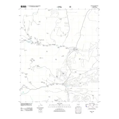
 2004 Angus2006 Print · USGSLincoln County in the early 2000s showcases a landscape where alpine wilderness meets growing mountain communities. Researchers can trace the development of Sun Valley and Alpine Village alongside landmark sites like Villa Madonna and the high peaks of the White Mountain Wilderness.
 - 2011 Map of Angus, 2011 Print
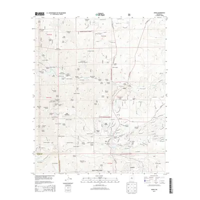
 2011 Angus2011 Print · USGSCovers Angus, including Ruidoso, Alto, and other nearby areas
 - 2013 Map of Angus, 2013 Print
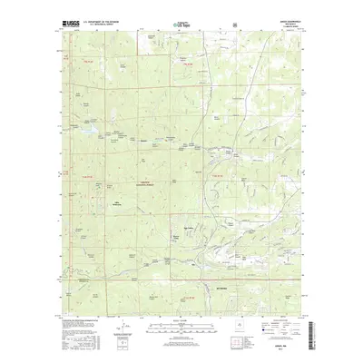
 2013 Angus2013 Print · USGSCovers Angus, including Ruidoso, Alto, and other nearby areas
 - 2017 Map of Angus, 2017 Print
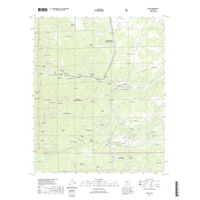
 2017 Angus2017 Print · USGSCovers Angus, including Ruidoso, Alto, and other nearby areas
 - 2020 Map of Angus, 2020 Print
 2020 Angus2020 Print · USGSCovers Angus, including Ruidoso, Alto, and other nearby areas
 - 2023 Map of Angus, 2023 Print
 2023 Angus2023 Print · USGSThe Lincoln County high country comes into focus in this recent survey, showcasing the overlap of federal wilderness and growing mountain communities. Researchers can trace land use and local heritage through landmarks like Monjeau Lookout, the Angus Cem, and Bonito Lake.
End of results
Showing maps 1-6 of 6
Top cities near Angus
- Ruidoso historical maps
- Alto historical maps
- Ruidoso Downs historical maps
- Capitan historical maps
- Carrizozo historical maps
Frequently asked questions
- What are the different types of historical maps available for Angus?
- What is the oldest map of Angus?
- Where can I purchase historical maps of Angus for my home or office?
- Where can I download high-res historical maps of Angus?
- Are there historical topographic maps available for Angus?
- Is there historical aerial imagery available for Angus?
- Where are historical maps of Angus sourced from?