Old Maps of Ruidoso Downs, New Mexico for Metal Detecting
Plan your next treasure hunt with 18 historic maps of Ruidoso Downs. Find old homesites, ghost towns, trails, and gathering spots that may be lost to time — perfect for identifying promising metal detecting locations.
- Locate forgotten sites: Uncover places like long-lost settlements, abandoned rail lines, or gathering spots.
- Plan better hunts: Use map overlays combined with LiDAR or satellite views to narrow in on historically rich areas.
- Made for detectorists: Thousands of hobbyists use these maps to discover relics, coins, and hidden history.
Use these historic maps to boost your research and find new opportunities beneath the surface of Ruidoso Downs.
Ruidoso Downs, NM maps
(18)- 1955 Map of Roswell, 1974 Print
 1955 Roswell1974 Print · USGSSoutheastern New Mexico is shown in transition during the mid-fifties, from the Pecos Valley ranching hubs to the high timber of the Sacramento Mountains. Researchers can trace the Atchison Topeka and Santa Fe RR through Roswell and Hagerman or locate the old barracks at Ft Stanton.3 unique versions available
 - 1958 Map of Roswell
 1958 Roswell1958 Print · USGSThe High Plains and mountain peaks of New Mexico are captured here during the mid-fifties, showing the region before the closure of Walker Air Force Base. Researchers can trace the ranching and rail landscape from Lincoln to the Pecos River valley through Hagerman and Lake Arthur.
 - 1962 Map of Roswell
 1962 Roswell1962 Print · USGSSoutheastern New Mexico in the early sixties shows a landscape defined by high mountain peaks and a growing military presence at Roswell. Genealogists and historians can trace the roads connecting Fort Stanton, Capitan, and the Mescalero Apache Indian Reservation.
 - 1963 Map of Ruidoso Downs, 1967 Print
 1963 Ruidoso Downs1967 Print · USGSRuidoso Downs in the early sixties sits at the intersection of forest and reservation lands as the valley begins to develop. Genealogists and historians can trace family-named sites like Herrera Lane and find landmarks like the Drive-in Theater or Baston Spring.2 unique versions available
 - 1963 Map of Ruidoso, 1967 Print
 1963 Ruidoso1967 Print · USGSRuidoso and the surrounding mountain canyons are shown here in the early sixties, as recreation and infrastructure expanded in the Lincoln National Forest. Researchers can trace old mountain roads and landmarks like Forest Lawn Cem, the Drive-in Theater, and Jose Second Dam No 1.3 unique versions available
 - 1984 Map of Ruidoso
 1984 Ruidoso1984 Print · USGSThe high country of the Sierra Blanca and the Lincoln National Forest are captured here in the mid-eighties as tourism and traditional land use converged. Local historians can trace the Old Military Reservation Boundary, find historic workings like the Parsons Mine, or locate small communities such as Glencoe and Whitetail.
 - 2004 Map of Ruidoso Downs, 2006 Print
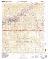 2004 Ruidoso Downs2006 Print · USGSRuidoso Downs and the Sierra Blanca foothills are captured in the early 2000s, showing the town's development near the tribal boundary. Local researchers can trace family roots at Stetson Cem or locate landmarks like the Ruidoso Downs Race Track.
 - 2004 Map of Ruidoso, 2006 Print
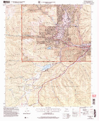 2004 Ruidoso2006 Print · USGSThe mountain town of Ruidoso and its surrounding canyons are captured here during a period of sustained growth in the early 2000s. Genealogists and local historians can trace the development of Hollywood and Ruidoso Downs or locate the Forest Lawn Cem and the Inn of the Mountain Gods.
 - 2011 Map of Ruidoso, 2011 Print
 2011 Ruidoso2011 Print · USGSRuidoso and the surrounding Lincoln County canyons are captured here in the early twenty-first century as the community grew along the Rio Ruidoso. Genealogists and historians can locate the Forest Lawn Cemetery, trace the Graham Mine, and explore the layout of Alpine Cellars Village.
 - 2011 Map of Ruidoso Downs, 2011 Print
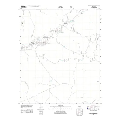 2011 Ruidoso Downs2011 Print · USGSRuidoso Downs and its surrounding high-desert canyons are documented here in the early twenty-first century. Researchers can trace land use through the Stetson Cemetery, local industrial sites like Beavers Pit, and water features including Seeping Springs Lakes.
 - 2013 Map of Ruidoso, 2013 Print
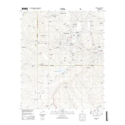 2013 Ruidoso2013 Print · USGSRuidoso and the surrounding mountain settlements are captured here in the early twenty-first century as they expanded along the Rio Ruidoso. Researchers can trace local development from the Ruidoso Lookout Tower to the campus of Eastern New Mexico University-Ruidoso.
 - 2013 Map of Ruidoso Downs, 2013 Print
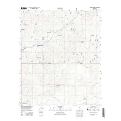 2013 Ruidoso Downs2013 Print · USGSRuidoso and the Sacramento Mountains are captured in this early 21st-century survey of Lincoln and Otero Counties. Researchers can locate the Stetson Cem, trace the path of the Herrera Ditch, and explore the high ridges of Whitetail Mtn.
 - 2017 Map of Ruidoso, 2017 Print
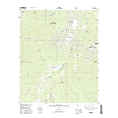 2017 Ruidoso2017 Print · USGSIn the high country of the southern Sacramento Mountains, this 2017 survey shows the modern footprint of Ruidoso and Ruidoso Downs. Researchers can trace local landmarks like Forest Lawn Cem, the Herrera Ditch, and the alpine waters of Mescalero Lake.
 - 2017 Map of Ruidoso Downs, 2017 Print
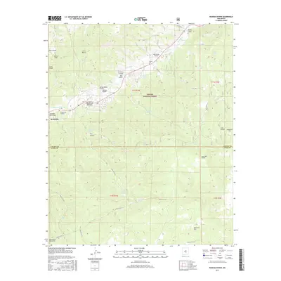 2017 Ruidoso Downs2017 Print · USGSThe northern Sacramento Mountains come alive in this survey of the high-country settlements of Ruidoso and Ruidoso Downs. Researchers can trace old family burial sites at Stetson Cem or follow the complex canyon topography of Gavilan Ridge and Pierce Canyon.
 - 2020 Map of Ruidoso Downs, 2020 Print
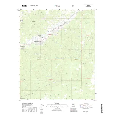 2020 Ruidoso Downs2020 Print · USGSThe high mountain valley of the Sacramento range comes into focus here, showing the development around the Rio Ruidoso. Genealogists and local historians can locate Stetson Cem and trace the early water routes of Herrera Ditch and Hale Lake.
 - 2020 Map of Ruidoso, 2020 Print
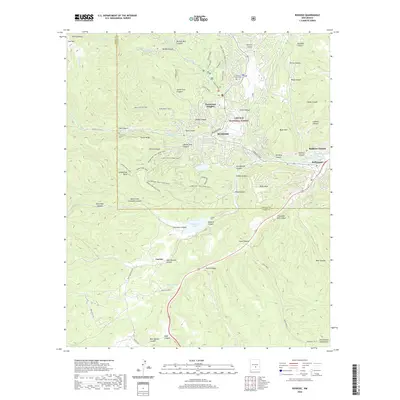 2020 Ruidoso2020 Print · USGSThe mountain landscape of Lincoln County is shown here in the 2020s, centered on the communities of Ruidoso and Hollywood. Researchers can trace the network of wilderness paths and local landmarks like the Grindstone Trail (Mine Cany) and Forest Lawn Cem.
 - 2023 Map of Ruidoso, 2023 Print
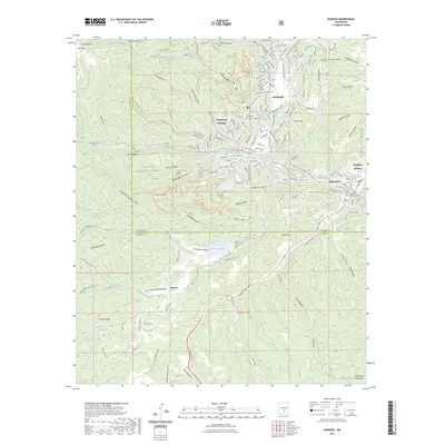 2023 Ruidoso2023 Print · USGSRuidoso and the surrounding mountain canyons are depicted in the early 2020s, showing the modern interface between settlement and the Lincoln National Forest. Genealogists can locate family sites at Gavilan Memorial Gardens Cem or Forest Lawn Cem, while researchers can trace the course of the Rio Ruidoso and Herrera Ditch.
 - 2023 Map of Ruidoso Downs, 2023 Print
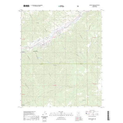 2023 Ruidoso Downs2023 Print · USGSThe northern reaches of the Sacramento Mountains meet the Ruidoso valley in this recent survey of the New Mexico highlands. Trace local history at the Stetson Cem or follow the path of the Herrera Ditch through the heart of Ruidoso Downs.
End of results
Showing maps 1-18 of 18
Top cities near Ruidoso Downs
Frequently asked questions
- What are the different types of historical maps available for Ruidoso Downs?
- What is the oldest map of Ruidoso Downs?
- Where can I purchase historical maps of Ruidoso Downs for my home or office?
- Where can I download high-res historical maps of Ruidoso Downs?
- Are there historical topographic maps available for Ruidoso Downs?
- Is there historical aerial imagery available for Ruidoso Downs?
- Where are historical maps of Ruidoso Downs sourced from?