Old Maps of Ruidoso, New Mexico for Genealogy
Trace your family roots with 32 historic maps of Ruidoso. These high-res maps reveal old neighborhoods, homesites, landmarks, and streets — helping you uncover where your ancestors lived and how the area evolved over time.
- Explore historic neighborhoods: Identify where your relatives may have lived in the 1800s or 1900s.
- Compare maps over time: Trace the changes in streets, buildings, and landmarks for multi-generational research.
- Perfect for genealogy & ancestry research: Used by family historians and researchers to map out lineage and migration.
These maps are an incredible resource for exploring your personal connection to Ruidoso's past.
Ruidoso, NM maps
(32)- 1955 Map of Roswell, 1974 Print
 1955 Roswell1974 Print · USGSSoutheastern New Mexico is shown in transition during the mid-fifties, from the Pecos Valley ranching hubs to the high timber of the Sacramento Mountains. Researchers can trace the Atchison Topeka and Santa Fe RR through Roswell and Hagerman or locate the old barracks at Ft Stanton.3 unique versions available
 - 1958 Map of Roswell
 1958 Roswell1958 Print · USGSThe High Plains and mountain peaks of New Mexico are captured here during the mid-fifties, showing the region before the closure of Walker Air Force Base. Researchers can trace the ranching and rail landscape from Lincoln to the Pecos River valley through Hagerman and Lake Arthur.
 - 1962 Map of Roswell
 1962 Roswell1962 Print · USGSSoutheastern New Mexico in the early sixties shows a landscape defined by high mountain peaks and a growing military presence at Roswell. Genealogists and historians can trace the roads connecting Fort Stanton, Capitan, and the Mescalero Apache Indian Reservation.
 - 1963 Map of Fort Stanton, 1966 Print
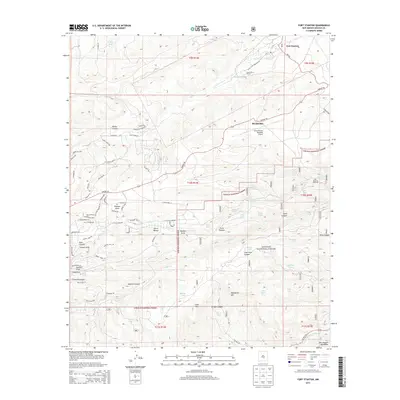
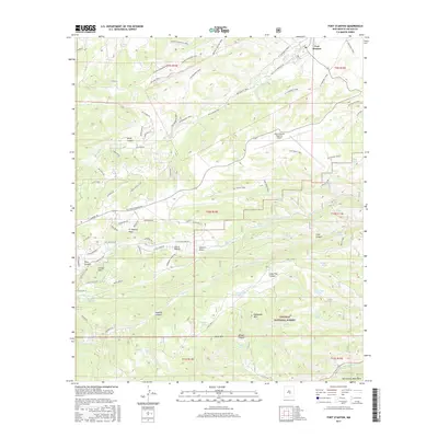
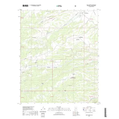
 1963 Fort Stanton1966 Print · USGSThe Lincoln County high country is captured here in the early 1960s, showing the intersection of military history and mountain ranching. Trace the grounds of Fort Stanton, the San Ysidro Ch and Cem, and the high reaches of the Lincoln National Forest.2 unique versions available
 - 1963 Map of Ruidoso Downs, 1967 Print
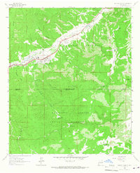 1963 Ruidoso Downs1967 Print · USGSRuidoso Downs in the early sixties sits at the intersection of forest and reservation lands as the valley begins to develop. Genealogists and historians can trace family-named sites like Herrera Lane and find landmarks like the Drive-in Theater or Baston Spring.2 unique versions available
 - 1963 Map of Ruidoso, 1967 Print
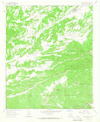
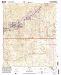
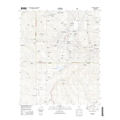
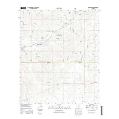
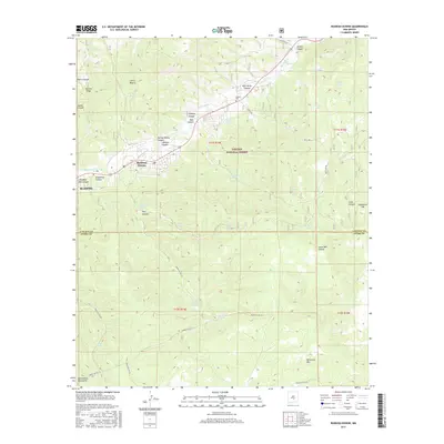
 1963 Ruidoso1967 Print · USGSRuidoso and the surrounding mountain canyons are shown here in the early sixties, as recreation and infrastructure expanded in the Lincoln National Forest. Researchers can trace old mountain roads and landmarks like Forest Lawn Cem, the Drive-in Theater, and Jose Second Dam No 1.3 unique versions available
 - 1963 Map of Angus, 1967 Print
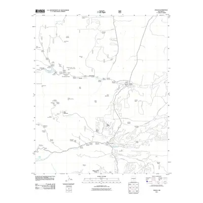
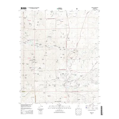
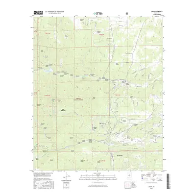
 1963 Angus1967 Print · USGSLincoln County mountain life in the early sixties centers on high-altitude ranching and the critical waters of the Rio Bonito. Genealogists and researchers can trace family-named sites like Loma Grande Ranch, find the Coal Mine at Little Creek, and locate Eagle Creek Lodge.4 unique versions available
 - 1984 Map of Ruidoso
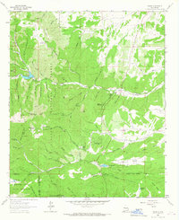
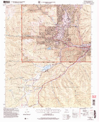
 1984 Ruidoso1984 Print · USGSThe high country of the Sierra Blanca and the Lincoln National Forest are captured here in the mid-eighties as tourism and traditional land use converged. Local historians can trace the Old Military Reservation Boundary, find historic workings like the Parsons Mine, or locate small communities such as Glencoe and Whitetail.
 - 2004 Map of Ruidoso Downs, 2006 Print
 2004 Ruidoso Downs2006 Print · USGSRuidoso Downs and the Sierra Blanca foothills are captured in the early 2000s, showing the town's development near the tribal boundary. Local researchers can trace family roots at Stetson Cem or locate landmarks like the Ruidoso Downs Race Track.
 - 2004 Map of Ruidoso, 2006 Print
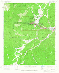
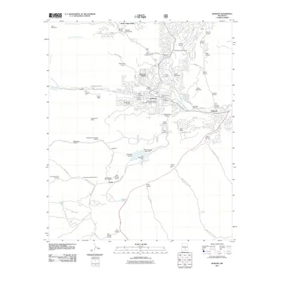
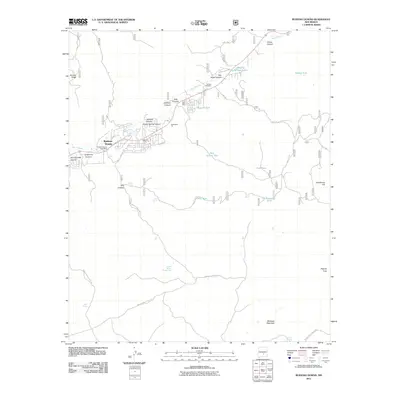
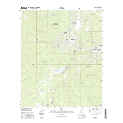
 2004 Ruidoso2006 Print · USGSThe mountain town of Ruidoso and its surrounding canyons are captured here during a period of sustained growth in the early 2000s. Genealogists and local historians can trace the development of Hollywood and Ruidoso Downs or locate the Forest Lawn Cem and the Inn of the Mountain Gods.
 - 2004 Map of Fort Stanton, 2006 Print
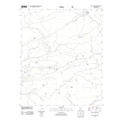
 2004 Fort Stanton2006 Print · USGSLincoln County at the start of the millennium shows a landscape defined by frontier history and high-altitude ranching. Genealogists and historians can locate Fort Stanton and its Cem, the Four K Ranch, and the San Ysidro Ch near Ruidoso.
 - 2004 Map of Angus, 2006 Print
 2004 Angus2006 Print · USGSLincoln County in the early 2000s showcases a landscape where alpine wilderness meets growing mountain communities. Researchers can trace the development of Sun Valley and Alpine Village alongside landmark sites like Villa Madonna and the high peaks of the White Mountain Wilderness.
 - 2011 Map of Ruidoso, 2011 Print
 2011 Ruidoso2011 Print · USGSCovers Ruidoso, including Ruidoso Downs, Carrizo, and other nearby areas
 - 2011 Map of Fort Stanton, 2011 Print
 2011 Fort Stanton2011 Print · USGSCovers Ruidoso, including Fort Stanton, Camp Sierra Blanca, and other nearby areas
 - 2011 Map of Ruidoso Downs, 2011 Print
 2011 Ruidoso Downs2011 Print · USGSCovers Ruidoso, including Ruidoso Downs, Otero County, and other nearby areas
 - 2011 Map of Angus, 2011 Print
 2011 Angus2011 Print · USGSCovers Ruidoso, including Alto, Villa Madonna, and other nearby areas
 - 2013 Map of Ruidoso, 2013 Print
 2013 Ruidoso2013 Print · USGSCovers Ruidoso, including Ruidoso Downs, Carrizo, and other nearby areas
 - 2013 Map of Fort Stanton, 2013 Print
 2013 Fort Stanton2013 Print · USGSCovers Ruidoso, including Fort Stanton, Camp Sierra Blanca, and other nearby areas
 - 2013 Map of Ruidoso Downs, 2013 Print
 2013 Ruidoso Downs2013 Print · USGSCovers Ruidoso, including Ruidoso Downs, Otero County, and other nearby areas
 - 2013 Map of Angus, 2013 Print
 2013 Angus2013 Print · USGSCovers Ruidoso, including Alto, Villa Madonna, and other nearby areas
 - 2017 Map of Fort Stanton, 2017 Print
 2017 Fort Stanton2017 Print · USGSCovers Ruidoso, including Fort Stanton, Camp Sierra Blanca, and other nearby areas
 - 2017 Map of Ruidoso, 2017 Print
 2017 Ruidoso2017 Print · USGSCovers Ruidoso, including Ruidoso Downs, Carrizo, and other nearby areas
 - 2017 Map of Ruidoso Downs, 2017 Print
 2017 Ruidoso Downs2017 Print · USGSCovers Ruidoso, including Ruidoso Downs, Otero County, and other nearby areas
 - 2017 Map of Angus, 2017 Print
 2017 Angus2017 Print · USGSCovers Ruidoso, including Alto, Villa Madonna, and other nearby areas
 - 2020 Map of Fort Stanton, 2020 Print
 2020 Fort Stanton2020 Print · USGSCovers Ruidoso, including Fort Stanton, Camp Sierra Blanca, and other nearby areas
Showing maps 1-25 of 32
Top cities near Ruidoso
Top neighborhoods of Ruidoso
Frequently asked questions
- What are the different types of historical maps available for Ruidoso?
- What is the oldest map of Ruidoso?
- Where can I purchase historical maps of Ruidoso for my home or office?
- Where can I download high-res historical maps of Ruidoso?
- Are there historical topographic maps available for Ruidoso?
- Is there historical aerial imagery available for Ruidoso?
- Where are historical maps of Ruidoso sourced from?