2000s (21st Century) Maps of Ruidoso, New Mexico
Explore 24 historic maps of Ruidoso from the 2000s (21st Century). These maps offer a rare glimpse into what life looked like during the 2000s — showing old roads, neighborhoods, homes, and landmarks that have changed or disappeared over time.
Whether you're researching your family's past, planning a metal detecting trip, or studying how Ruidoso's landscape evolved across the 2000s, these high-resolution maps are a powerful tool for exploring the history of this region.
- Focus on a specific era: All maps on this page are from the 2000s, giving you a focused view of this time period.
- See what’s changed: Compare century-old streets, trails, and buildings to today's modern landscape using overlays and satellite layers.
- Research with precision: Use these maps for genealogy, historical research, land use analysis, or educational projects.
- View, download, or print: Maps are fully viewable online in high resolution, and can be downloaded or printed for your own records.
Start exploring Ruidoso's history through authentic maps from the 2000s. This is your window into the past.
Ruidoso, NM maps
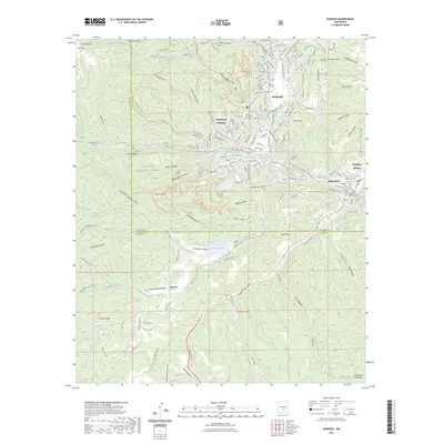
(24)- 2004 Map of Ruidoso Downs, 2006 Print
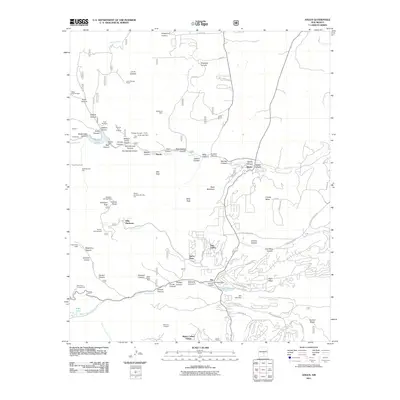
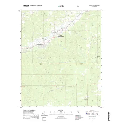
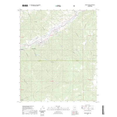
 2004 Ruidoso Downs2006 Print · USGSRuidoso Downs and the Sierra Blanca foothills are captured in the early 2000s, showing the town's development near the tribal boundary. Local researchers can trace family roots at Stetson Cem or locate landmarks like the Ruidoso Downs Race Track.
 - 2004 Map of Ruidoso, 2006 Print
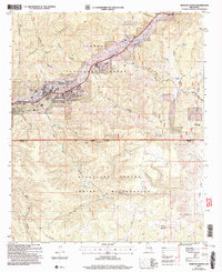
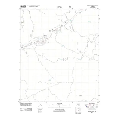
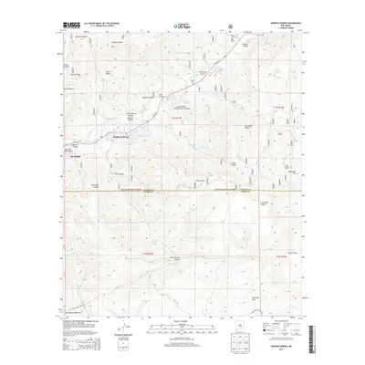
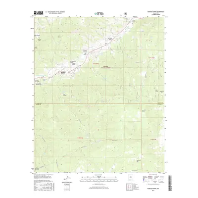
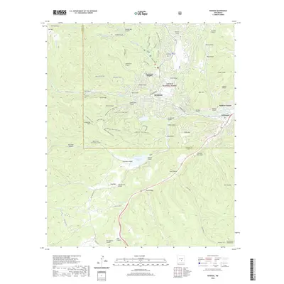
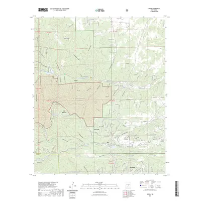
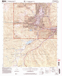 2004 Ruidoso2006 Print · USGSThe mountain town of Ruidoso and its surrounding canyons are captured here during a period of sustained growth in the early 2000s. Genealogists and local historians can trace the development of Hollywood and Ruidoso Downs or locate the Forest Lawn Cem and the Inn of the Mountain Gods.
 - 2004 Map of Fort Stanton, 2006 Print
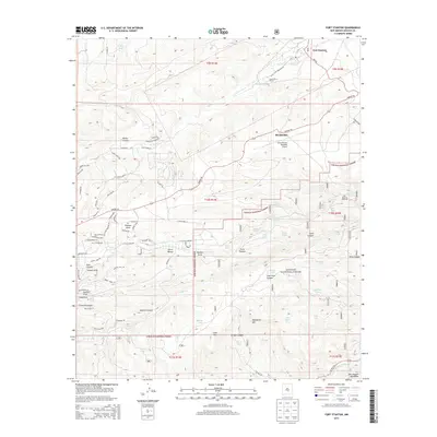
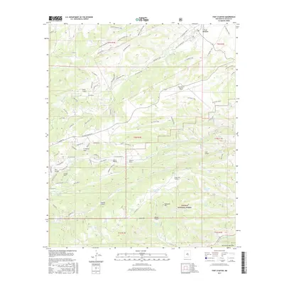
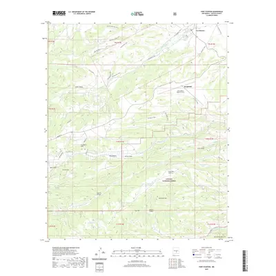
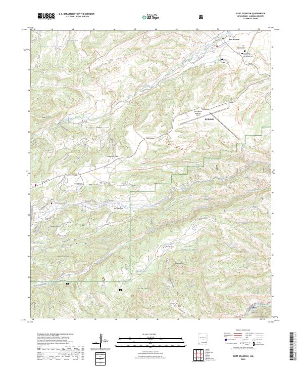
 2004 Fort Stanton2006 Print · USGSLincoln County at the start of the millennium shows a landscape defined by frontier history and high-altitude ranching. Genealogists and historians can locate Fort Stanton and its Cem, the Four K Ranch, and the San Ysidro Ch near Ruidoso.
 - 2004 Map of Angus, 2006 Print
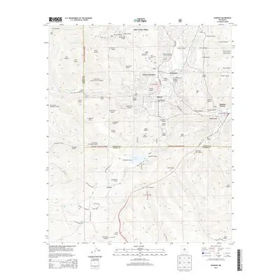
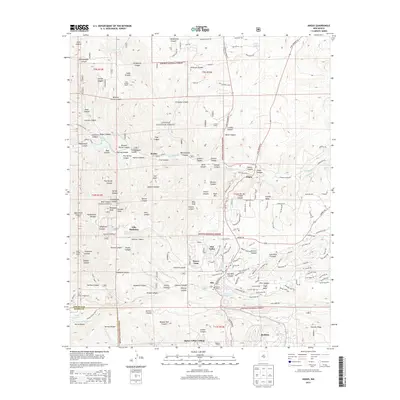
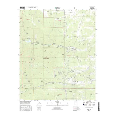
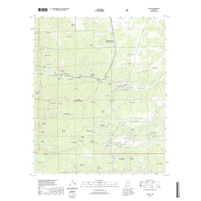
 2004 Angus2006 Print · USGSLincoln County in the early 2000s showcases a landscape where alpine wilderness meets growing mountain communities. Researchers can trace the development of Sun Valley and Alpine Village alongside landmark sites like Villa Madonna and the high peaks of the White Mountain Wilderness.
 - 2011 Map of Ruidoso, 2011 Print
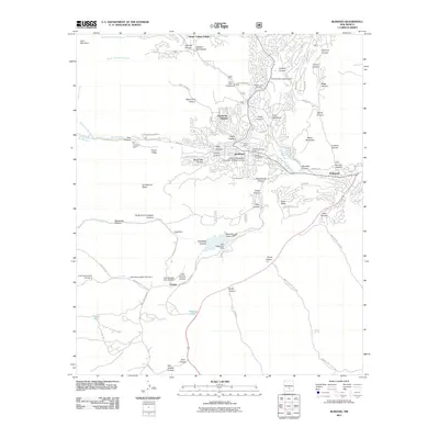 2011 Ruidoso2011 Print · USGSCovers Ruidoso, including Ruidoso Downs, Carrizo, and other nearby areas
 - 2011 Map of Fort Stanton, 2011 Print
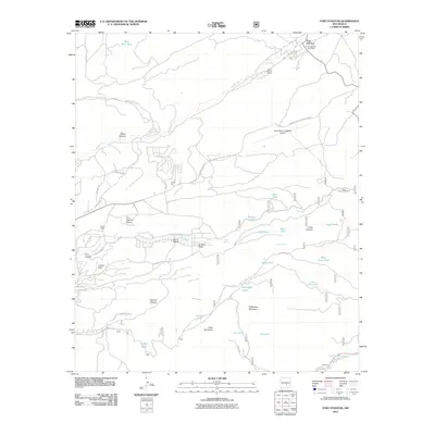 2011 Fort Stanton2011 Print · USGSCovers Ruidoso, including Fort Stanton, Camp Sierra Blanca, and other nearby areas
 - 2011 Map of Ruidoso Downs, 2011 Print
 2011 Ruidoso Downs2011 Print · USGSCovers Ruidoso, including Ruidoso Downs, Otero County, and other nearby areas
 - 2011 Map of Angus, 2011 Print
 2011 Angus2011 Print · USGSCovers Ruidoso, including Alto, Villa Madonna, and other nearby areas
 - 2013 Map of Ruidoso, 2013 Print
 2013 Ruidoso2013 Print · USGSCovers Ruidoso, including Ruidoso Downs, Carrizo, and other nearby areas
 - 2013 Map of Fort Stanton, 2013 Print
 2013 Fort Stanton2013 Print · USGSCovers Ruidoso, including Fort Stanton, Camp Sierra Blanca, and other nearby areas
 - 2013 Map of Ruidoso Downs, 2013 Print
 2013 Ruidoso Downs2013 Print · USGSCovers Ruidoso, including Ruidoso Downs, Otero County, and other nearby areas
 - 2013 Map of Angus, 2013 Print
 2013 Angus2013 Print · USGSCovers Ruidoso, including Alto, Villa Madonna, and other nearby areas
 - 2017 Map of Fort Stanton, 2017 Print
 2017 Fort Stanton2017 Print · USGSCovers Ruidoso, including Fort Stanton, Camp Sierra Blanca, and other nearby areas
 - 2017 Map of Ruidoso, 2017 Print
 2017 Ruidoso2017 Print · USGSCovers Ruidoso, including Ruidoso Downs, Carrizo, and other nearby areas
 - 2017 Map of Ruidoso Downs, 2017 Print
 2017 Ruidoso Downs2017 Print · USGSCovers Ruidoso, including Ruidoso Downs, Otero County, and other nearby areas
 - 2017 Map of Angus, 2017 Print
 2017 Angus2017 Print · USGSCovers Ruidoso, including Alto, Villa Madonna, and other nearby areas
 - 2020 Map of Fort Stanton, 2020 Print
 2020 Fort Stanton2020 Print · USGSCovers Ruidoso, including Fort Stanton, Camp Sierra Blanca, and other nearby areas
 - 2020 Map of Ruidoso Downs, 2020 Print
 2020 Ruidoso Downs2020 Print · USGSCovers Ruidoso, including Ruidoso Downs, Otero County, and other nearby areas
 - 2020 Map of Ruidoso, 2020 Print
 2020 Ruidoso2020 Print · USGSCovers Ruidoso, including Ruidoso Downs, Carrizo, and other nearby areas
 - 2020 Map of Angus, 2020 Print
 2020 Angus2020 Print · USGSCovers Ruidoso, including Alto, Villa Madonna, and other nearby areas
 - 2023 Map of Fort Stanton, 2023 Print
 2023 Fort Stanton2023 Print · USGSLincoln County in the early twenty-first century maintains its character as a historic military and medical hub centered on Fort Stanton. Genealogists and historians can locate the San Ysidro Mission Church, West Box Cem, and the specialized military cemeteries near the Rio Bonito.
 - 2023 Map of Ruidoso, 2023 Print
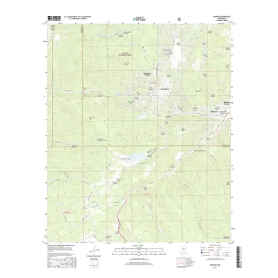
 2023 Ruidoso2023 Print · USGSRuidoso and the surrounding mountain canyons are depicted in the early 2020s, showing the modern interface between settlement and the Lincoln National Forest. Genealogists can locate family sites at Gavilan Memorial Gardens Cem or Forest Lawn Cem, while researchers can trace the course of the Rio Ruidoso and Herrera Ditch.
 - 2023 Map of Angus, 2023 Print
 2023 Angus2023 Print · USGSThe Lincoln County high country comes into focus in this recent survey, showcasing the overlap of federal wilderness and growing mountain communities. Researchers can trace land use and local heritage through landmarks like Monjeau Lookout, the Angus Cem, and Bonito Lake.
 - 2023 Map of Ruidoso Downs, 2023 Print
 2023 Ruidoso Downs2023 Print · USGSThe northern reaches of the Sacramento Mountains meet the Ruidoso valley in this recent survey of the New Mexico highlands. Trace local history at the Stetson Cem or follow the path of the Herrera Ditch through the heart of Ruidoso Downs.
End of results
Showing maps 1-24 of 24
Top cities near Ruidoso
Top neighborhoods of Ruidoso
Frequently asked questions
- What are the different types of historical maps available for Ruidoso?
- What is the oldest map of Ruidoso?
- Where can I purchase historical maps of Ruidoso for my home or office?
- Where can I download high-res historical maps of Ruidoso?
- Are there historical topographic maps available for Ruidoso?
- Is there historical aerial imagery available for Ruidoso?
- Where are historical maps of Ruidoso sourced from?