2000s (21st Century) Maps of White Rock, New Mexico
Explore 6 historic maps of White Rock from the 2000s (21st Century). These maps offer a rare glimpse into what life looked like during the 2000s — showing old roads, neighborhoods, homes, and landmarks that have changed or disappeared over time.
Whether you're researching your family's past, planning a metal detecting trip, or studying how White Rock's landscape evolved across the 2000s, these high-resolution maps are a powerful tool for exploring the history of this region.
- Focus on a specific era: All maps on this page are from the 2000s, giving you a focused view of this time period.
- See what’s changed: Compare century-old streets, trails, and buildings to today's modern landscape using overlays and satellite layers.
- Research with precision: Use these maps for genealogy, historical research, land use analysis, or educational projects.
- View, download, or print: Maps are fully viewable online in high resolution, and can be downloaded or printed for your own records.
Start exploring White Rock's history through authentic maps from the 2000s. This is your window into the past.
White Rock, NM maps
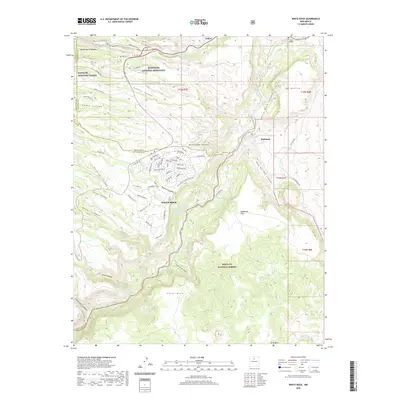
(6)- 2002 Map of White Rock, 2003 Print
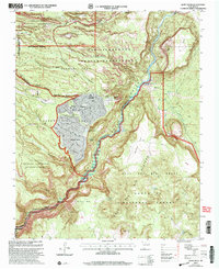 2002 White Rock2003 Print · USGSNorthern New Mexico at the start of the millennium reveals a fascinating intersection of laboratory science, tribal lands, and suburban expansion. Trace the boundaries of the Los Alamos National Laboratory as it neighbors White Rock and the San Ildefonso Indian Reservation.
 - 2011 Map of White Rock, 2011 Print
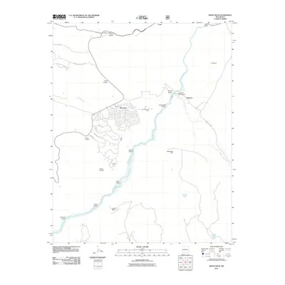 2011 White Rock2011 Print · USGSCovers White Rock, including Los Alamos, Buckman, and other nearby areas
 - 2013 Map of White Rock, 2013 Print
 2013 White Rock2013 Print · USGSCovers White Rock, including Los Alamos, Buckman, and other nearby areas
 - 2017 Map of White Rock, 2017 Print
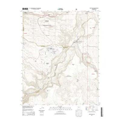
 2017 White Rock2017 Print · USGSCovers White Rock, including Los Alamos, Buckman, and other nearby areas
 - 2020 Map of White Rock, 2020 Print
 2020 White Rock2020 Print · USGSCovers White Rock, including Los Alamos, Buckman, and other nearby areas
 - 2023 Map of White Rock, 2023 Print
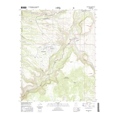
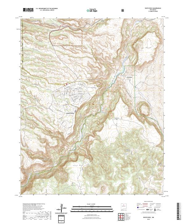 2023 White Rock2023 Print · USGSThe residential plateau at White Rock and the protected lands of Bandelier National Monument meet at the edge of the Rio Grande in this contemporary study. Researchers can trace the modern street layout and name-rich topography from Chino Mesa to the riverside site at Buckman.
End of results
Showing maps 1-6 of 6
Top cities near White Rock
- Santa Fe historical maps
- Los Alamos historical maps
- Española historical maps
- Española historical maps
- Espanola historical maps
- Santa Cruz historical maps
Frequently asked questions
- What are the different types of historical maps available for White Rock?
- What is the oldest map of White Rock?
- Where can I purchase historical maps of White Rock for my home or office?
- Where can I download high-res historical maps of White Rock?
- Are there historical topographic maps available for White Rock?
- Is there historical aerial imagery available for White Rock?
- Where are historical maps of White Rock sourced from?