2020s Maps of Wagon Mound, New Mexico
Explore 4 historic maps of Wagon Mound from the 2020s. These maps offer a rare glimpse into what life looked like during the 2020s — showing old roads, neighborhoods, homes, and landmarks that have changed or disappeared over time.
Whether you're researching your family's past, planning a metal detecting trip, or studying how Wagon Mound's landscape evolved across the 2020s, these high-resolution maps are a powerful tool for exploring the history of this region.
- Focus on a specific era: All maps on this page are from the 2020s, giving you a focused view of this time period.
- See what’s changed: Compare century-old streets, trails, and buildings to today's modern landscape using overlays and satellite layers.
- Research with precision: Use these maps for genealogy, historical research, land use analysis, or educational projects.
- View, download, or print: Maps are fully viewable online in high resolution, and can be downloaded or printed for your own records.
Start exploring Wagon Mound's history through authentic maps from the 2020s. This is your window into the past.
Wagon Mound, NM maps
(4)- 2020 Map of Wagon Mound, 2020 Print
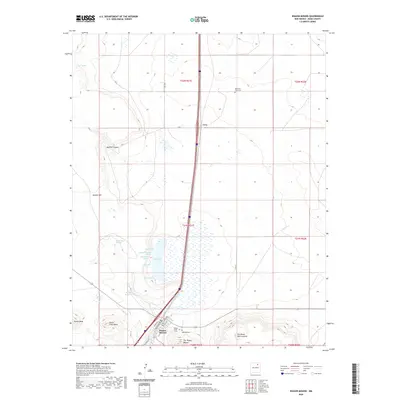 2020 Wagon Mound2020 Print · USGSCovers Wagon Mound, including Levy, Mora County, and other nearby areas
 - 2020 Map of Mogote Hills, 2020 Print
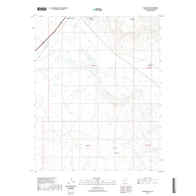 2020 Mogote Hills2020 Print · USGSCovers Wagon Mound, including Mora County, United States, and other nearby areas
 - 2023 Map of Wagon Mound, 2023 Print
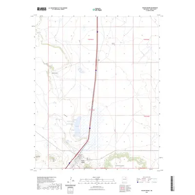 2023 Wagon Mound2023 Print · USGSMora County's high plains are documented here at the start of the 2020s, centered on the historic village of Wagon Mound. Researchers can trace old family sites and local geography through Hillside Cem, the shores of Salt Lake, and landmarks like Jarosa Mesa.
 - 2023 Map of Mogote Hills, 2023 Print
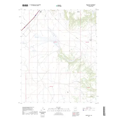 2023 Mogote Hills2023 Print · USGSMora County as it appears in the early 2020s shows a landscape of dramatic mesas and traditional New Mexican drainage networks. Researchers can trace the paths of Vermejo Creek and Arroyo Jarosa past landmarks like Wagon Mound.
End of results
Showing maps 1-4 of 4
Frequently asked questions
- What are the different types of historical maps available for Wagon Mound?
- What is the oldest map of Wagon Mound?
- Where can I purchase historical maps of Wagon Mound for my home or office?
- Where can I download high-res historical maps of Wagon Mound?
- Are there historical topographic maps available for Wagon Mound?
- Is there historical aerial imagery available for Wagon Mound?
- Where are historical maps of Wagon Mound sourced from?