Old Maps of Wagon Mound, New Mexico for Academic Research
Study the evolution of Wagon Mound with 20 high-resolution historic maps. Whether you're teaching, researching, or modeling changes in land use, these maps provide essential visual documentation of urban, environmental, and geographic change.
- Analyze long-term change: Track patterns in development, transportation, and natural features.
- Ideal for environmental or urban studies: Support academic projects with primary historical map data.
- Use in the classroom or lab: Educators and researchers rely on these maps to bring historical context to life.
These maps are a powerful tool for teaching, research, and visualizing how Wagon Mound has changed over the decades.
Wagon Mound, NM maps
(20)- 1892 Map of Watrous
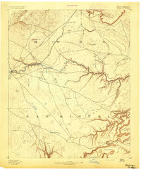 1892 Watrous1892 Print · USGSNortheastern New Mexico comes into focus during the expansion of the western frontier, showing the critical junction of the railroad and the river. Trace nineteenth-century ranching life and travel stops at Watrous, the O. K. Ranch, and a remote Blacksmith Shop.
 - 1894 Map of Watrous
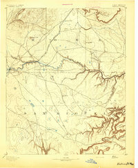 1894 Watrous1894 Print · USGSNorthern New Mexico at the end of the nineteenth century was a landscape of pioneering rail lines and cattle ranches. You can trace the Atchison Topeka and Santa Fe Railroad as it services Watrous and Shoemaker or locate the remote O.K. Ranch.5 unique versions available
 - 1954 Map of Santa Fe, 1963 Print
 1954 Santa Fe1963 Print · USGSNew Mexico's high mountains and eastern plains meet in the mid-fifties, showing a landscape defined by the Sangre de Cristo Mountains and the Pecos River. Trace family roots and local history through San Christobal Church, Sena School, and the historic Las Vegas rail corridor.4 unique versions available
 - 1954 Map of Raton, 1963 Print
 1954 Raton1963 Print · USGSNorthern New Mexico's high-country and plains are documented here in the early sixties, showing the region's ranching and mining infrastructure. Trace the legacy of the Maxwell Land Grant, locate remote rural sites like Tafoya School, and follow the Atchison Topeka and Santa Fe Railway through the heart of Raton.3 unique versions available
 - 1958 Map of Raton
 1958 Raton1958 Print · USGSNorthern New Mexico and the Colorado borderlands are mapped here in the late fifties, showcasing a landscape of high peaks and historic land grants. Genealogists and historians can trace families across Picuris Pueblo, find old schoolhouses like Piedra Lumbre School, or follow the Atchison Topeka and Santa Fe rail line.3 unique versions available
 - 1958 Map of Santa Fe
 1958 Santa Fe1958 Print · USGSThe Sangre De Cristo Mountains meet the high plains in the late 1950s, showing a landscape defined by rail corridors and ranching. Genealogists can trace family-named sites like Upton Ranch or visit the Fort Union (Ruins) and Tuloso School.
 - 1964 Map of Wagon Mound, 1966 Print
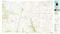
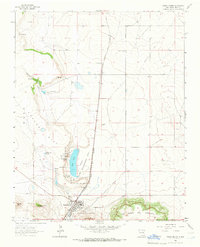 1964 Wagon Mound1966 Print · USGSWagon Mound and the surrounding Mora County mesas are captured here in the mid-1960s at the intersection of rail and ranch land. Researchers can trace the historic Santa Fe Trail, locate the Hillside Cem, and explore the rail stop at Levy.
 - 1964 Map of Mogote Hills, 1966 Print
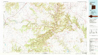
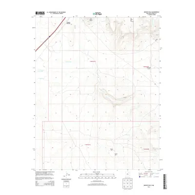
 1964 Mogote Hills1966 Print · USGSNortheastern New Mexico's plains and mesas meet along the historic transportation corridor of the mid-1960s. Genealogists and historians can trace the shared path of the Santa Fe Trail and the railroad, passing by Wagon Mound and Jarosa.
 - 1981 Map of Springer
 1981 Springer1981 Print · USGSNortheast New Mexico in the early eighties remains a landscape defined by its deep historical pathways and massive land grants. Genealogists and historians can trace the original Santa Fe Trail routes, the State Boys School at Springer, and the landmarks of Wagon Mound.
 - 1981 Map of Roy, 1982 Print
 1981 Roy1982 Print · USGSNortheastern New Mexico's ranching and volcanic landscapes are documented here in the early eighties. Researchers can trace the Santa Fe Trail, locate the historic Fort Union Nat Mon, and explore the rail corridor through Roy and Solano.
 - 2010 Map of Wagon Mound, 2010 Print
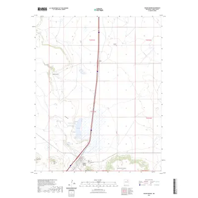
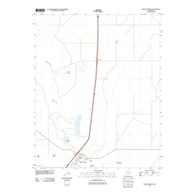 2010 Wagon Mound2010 Print · USGSCovers Wagon Mound, including Levy, Mora County, and other nearby areas
 - 2010 Map of Mogote Hills, 2010 Print
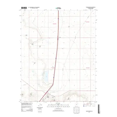
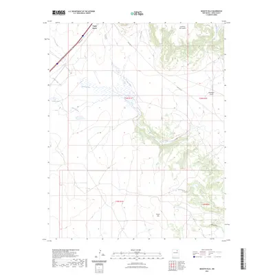
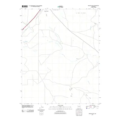 2010 Mogote Hills2010 Print · USGSCovers Wagon Mound, including Mora County, United States, and other nearby areas
 - 2013 Map of Mogote Hills, 2013 Print
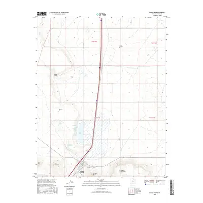
 2013 Mogote Hills2013 Print · USGSCovers Wagon Mound, including Mora County, United States, and other nearby areas
 - 2013 Map of Wagon Mound, 2013 Print
 2013 Wagon Mound2013 Print · USGSCovers Wagon Mound, including Levy, Mora County, and other nearby areas
 - 2017 Map of Wagon Mound, 2017 Print
 2017 Wagon Mound2017 Print · USGSCovers Wagon Mound, including Levy, Mora County, and other nearby areas
 - 2017 Map of Mogote Hills, 2017 Print
 2017 Mogote Hills2017 Print · USGSCovers Wagon Mound, including Mora County, United States, and other nearby areas
 - 2020 Map of Wagon Mound, 2020 Print
 2020 Wagon Mound2020 Print · USGSCovers Wagon Mound, including Levy, Mora County, and other nearby areas
 - 2020 Map of Mogote Hills, 2020 Print
 2020 Mogote Hills2020 Print · USGSCovers Wagon Mound, including Mora County, United States, and other nearby areas
 - 2023 Map of Wagon Mound, 2023 Print
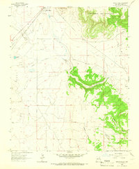
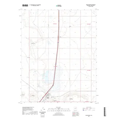
 2023 Wagon Mound2023 Print · USGSMora County's high plains are documented here at the start of the 2020s, centered on the historic village of Wagon Mound. Researchers can trace old family sites and local geography through Hillside Cem, the shores of Salt Lake, and landmarks like Jarosa Mesa.
 - 2023 Map of Mogote Hills, 2023 Print
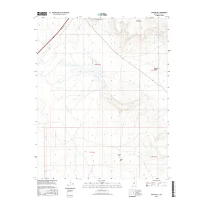
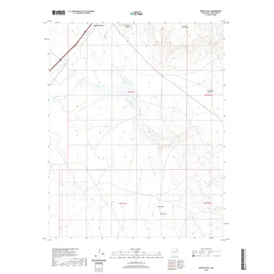
 2023 Mogote Hills2023 Print · USGSMora County as it appears in the early 2020s shows a landscape of dramatic mesas and traditional New Mexican drainage networks. Researchers can trace the paths of Vermejo Creek and Arroyo Jarosa past landmarks like Wagon Mound.
End of results
Showing maps 1-20 of 20
Frequently asked questions
- What are the different types of historical maps available for Wagon Mound?
- What is the oldest map of Wagon Mound?
- Where can I purchase historical maps of Wagon Mound for my home or office?
- Where can I download high-res historical maps of Wagon Mound?
- Are there historical topographic maps available for Wagon Mound?
- Is there historical aerial imagery available for Wagon Mound?
- Where are historical maps of Wagon Mound sourced from?