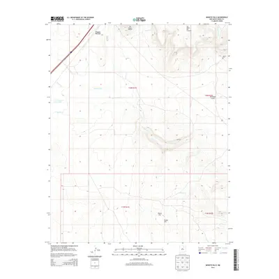
2013 Map of Mogote Hills
USGS Topo · Published 2013About this map
Wagon Mound is the prominent focal point of this northeastern New Mexico landscape, situated at the edge of the high plains where the terrain begins its ascent into mesas and volcanic formations. The area is defined by its drainage systems, with Vermejo Cr and Arroyo Puerto carving paths through the high ground. Notable geological landmarks like The Wagon Mound and the Las Mesas Del Conjelon dominate the northeastern quadrant, providing significant navigational reference points that have guided travelers for generations along these routes.
Find a feature on this map
21 named features on this map. Tap any name to fly to it.
Don’t see what you’re looking for? This feature index may not catch every label — zoom into the map to look around manually.
Map Details
Editions of this 2013 Mogote Hills Map
This is the sole edition of this map. No revisions or reprints were ever made.
Other maps of this area

1892 · Watrous
USGS Topo · 1:125,000

1894 · Watrous
USGS Topo · 1:125,000

1954 · Santa Fe
USGS Topo · 1:250,000

1954 · Raton
USGS Topo · 1:250,000

1958 · Raton
USGS Topo · 1:250,000

1958 · Santa Fe
USGS Topo · 1:250,000

1964 · Wagon Mound
USGS Topo · 1:24,000

1964 · Alto De Hormiga
USGS Topo · 1:24,000

1964 · Frutosa Lake
USGS Topo · 1:24,000

1964 · Mogote Hills
USGS Topo · 1:24,000