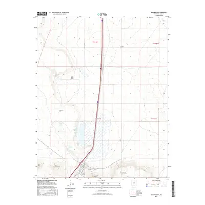
2017 Map of Wagon Mound
USGS Topo · Published 2017About this map
Wagon Mound sits at the base of the distinctive The Wagon Mound landform, a landmark on the plains of Mora County. The settlement is defined by a traditional grid including Railroad Ave and Wood Ave, reflecting its history as a transit point. North of the village, the landscape opens into a series of mesas and volcanic features like Apache Hill and Santa Clara Mesa.
Find a feature on this map
30 named features on this map. Tap any name to fly to it.
Don’t see what you’re looking for? This feature index may not catch every label — zoom into the map to look around manually.
Map Details
Editions of this 2017 Wagon Mound Map
This is the sole edition of this map. No revisions or reprints were ever made.
Other maps of this area

1892 · Watrous
USGS Topo · 1:125,000

1894 · Watrous
USGS Topo · 1:125,000

1954 · Santa Fe
USGS Topo · 1:250,000

1954 · Raton
USGS Topo · 1:250,000

1958 · Raton
USGS Topo · 1:250,000

1958 · Santa Fe
USGS Topo · 1:250,000

1964 · Stony Lake
USGS Topo · 1:24,000

1964 · Wagon Mound
USGS Topo · 1:24,000

1964 · Alto De Hormiga
USGS Topo · 1:24,000

1964 · Mogote Hills
USGS Topo · 1:24,000