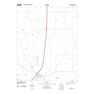
2010 Map of Wagon Mound
USGS Topo · Published 2010About this map
Wagon Mound serves as the focal point of this high plains landscape, situated near the distinctive landmark known as The Wagon Mound. The area's history is deeply connected to the path of the Santa Fe Trl, which passes through the mesa country near Jarosa Mesa and Santa Clara Mesa. Settlement patterns follow the transportation corridor, with the small communities of Levy, Julian, and Daniels scattered along the central artery.
Find a feature on this map
29 named features on this map. Tap any name to fly to it.
Don’t see what you’re looking for? This feature index may not catch every label — zoom into the map to look around manually.
Map Details
Editions of this 2010 Wagon Mound Map
This is the sole edition of this map. No revisions or reprints were ever made.
Other maps of this area

1892 · Watrous
USGS Topo · 1:125,000

1894 · Watrous
USGS Topo · 1:125,000

1954 · Santa Fe
USGS Topo · 1:250,000

1954 · Raton
USGS Topo · 1:250,000

1958 · Raton
USGS Topo · 1:250,000

1958 · Santa Fe
USGS Topo · 1:250,000

1964 · Stony Lake
USGS Topo · 1:24,000

1964 · Wagon Mound
USGS Topo · 1:24,000

1964 · Alto De Hormiga
USGS Topo · 1:24,000

1964 · Mogote Hills
USGS Topo · 1:24,000