Old Maps of Corner Well, New Mexico for Academic Research
Study the evolution of Corner Well with 10 high-resolution historic maps. Whether you're teaching, researching, or modeling changes in land use, these maps provide essential visual documentation of urban, environmental, and geographic change.
- Analyze long-term change: Track patterns in development, transportation, and natural features.
- Ideal for environmental or urban studies: Support academic projects with primary historical map data.
- Use in the classroom or lab: Educators and researchers rely on these maps to bring historical context to life.
These maps are a powerful tool for teaching, research, and visualizing how Corner Well has changed over the decades.
Corner Well, NM maps
(10)- 1954 Map of Carlsbad, 1963 Print
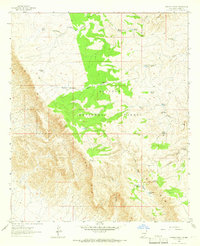
 1954 Carlsbad1963 Print · USGSSoutheastern New Mexico's desert peaks and river valleys appear in this mid-century study of the borderlands. Researchers can locate vanished sites like Sacramento City, trace the Pecos River reservoirs, and explore Carlsbad Caverns.3 unique versions available
 - 1958 Map of Carlsbad
 1958 Carlsbad1958 Print · USGSSoutheastern New Mexico in the mid-1950s shows a landscape of deep desert basins and high forest ranges during a period of steady ranching and early tourism. Researchers can trace the path of the Atchison Topeka and Santa Fe railroad or find vanished locales like Sacramento City (abandoned) and Whites City.2 unique versions available
 - 1963 Map of Panama Ranch, 1966 Print
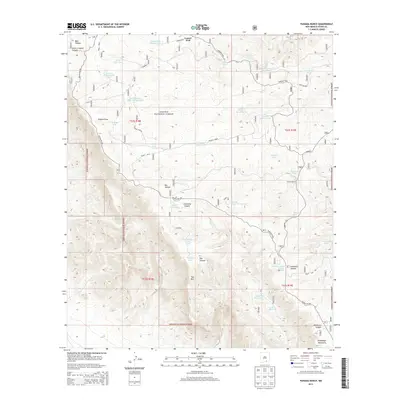
 1963 Panama Ranch1966 Print · USGSRanching life in the Otero County high country during the early sixties is centered on the Lincoln National Forest plateau. Researchers can locate remote water sources like Cantrell Lake, Panama Tank, and the historic Panama Ranch.2 unique versions available
 - 1979 Map of Crow Flats
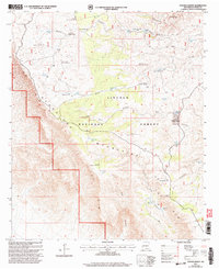
 1979 Crow Flats1979 Print · USGSThe high desert borderlands of Otero County and West Texas are captured here during the late seventies, showing a landscape of remote ranches and military ranges. Researchers can trace land use through the Old Wright Place, Alton Jones Ranch, and the Runyan Landing Field.2 unique versions available
 - 2001 Map of Panama Ranch, 2003 Print
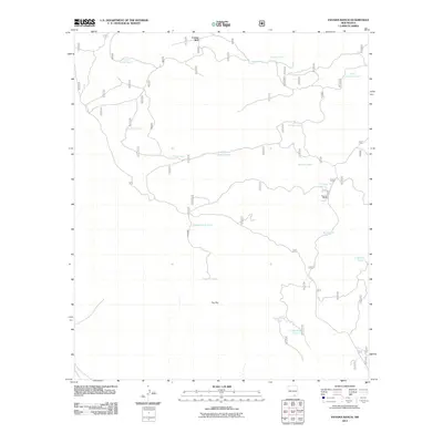
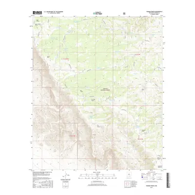
 2001 Panama Ranch2003 Print · USGSNew Mexico's high-desert ranching country is captured here at the turn of the millennium, centered on the Guadalupe Mountains and The Rim. Researchers can trace early water infrastructure and family-named landmarks like Panama Ranch, Jones Farm Tank, and Sargent Well.
 - 2011 Map of Panama Ranch, 2011 Print
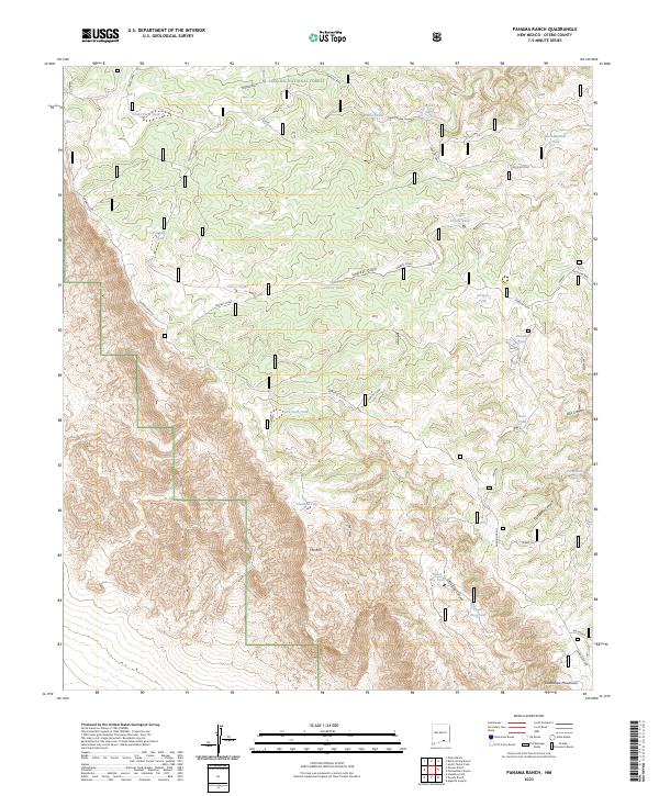
 2011 Panama Ranch2011 Print · USGSCovers Corner Well, including Otero County, United States, and other nearby areas
 - 2013 Map of Panama Ranch, 2013 Print
 2013 Panama Ranch2013 Print · USGSCovers Corner Well, including Otero County, United States, and other nearby areas
 - 2017 Map of Panama Ranch, 2017 Print
 2017 Panama Ranch2017 Print · USGSCovers Corner Well, including Otero County, United States, and other nearby areas
 - 2020 Map of Panama Ranch, 2020 Print
 2020 Panama Ranch2020 Print · USGSCovers Corner Well, including Otero County, United States, and other nearby areas
 - 2023 Map of Panama Ranch, 2023 Print
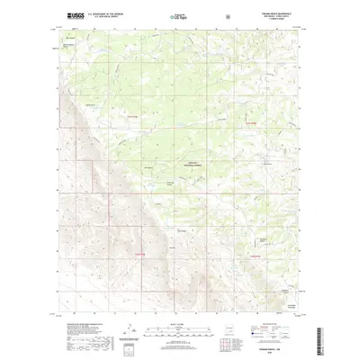
 2023 Panama Ranch2023 Print · USGSThe high Guadalupe terrain of Otero County is shown here in the 2020s, revealing a landscape of remote ranching and forest land. Trace the network of essential stock water features like Pot Hole Tank, Cantrell Lake, and Jones Farm Tank.
End of results
Showing maps 1-10 of 10
Frequently asked questions
- What are the different types of historical maps available for Corner Well?
- What is the oldest map of Corner Well?
- Where can I purchase historical maps of Corner Well for my home or office?
- Where can I download high-res historical maps of Corner Well?
- Are there historical topographic maps available for Corner Well?
- Is there historical aerial imagery available for Corner Well?
- Where are historical maps of Corner Well sourced from?