Old Maps of Sacramento, New Mexico for Academic Research
Study the evolution of Sacramento with 11 high-resolution historic maps. Whether you're teaching, researching, or modeling changes in land use, these maps provide essential visual documentation of urban, environmental, and geographic change.
- Analyze long-term change: Track patterns in development, transportation, and natural features.
- Ideal for environmental or urban studies: Support academic projects with primary historical map data.
- Use in the classroom or lab: Educators and researchers rely on these maps to bring historical context to life.
These maps are a powerful tool for teaching, research, and visualizing how Sacramento has changed over the decades.
Sacramento, NM maps
(11)- 1952 Map of Cloudcroft, 1954 Print
 1952 Cloudcroft1954 Print · USGSHigh in the Sacramento Mountains during the early fifties, this area centers on the alpine community of Cloudcroft. Local researchers can trace family landmarks like the Weed Cem, St Joseph Church, and the Artesia Camp.3 unique versions available
 - 1954 Map of Carlsbad, 1963 Print
 1954 Carlsbad1963 Print · USGSSoutheastern New Mexico's desert peaks and river valleys appear in this mid-century study of the borderlands. Researchers can locate vanished sites like Sacramento City, trace the Pecos River reservoirs, and explore Carlsbad Caverns.3 unique versions available
 - 1958 Map of Carlsbad
 1958 Carlsbad1958 Print · USGSSoutheastern New Mexico in the mid-1950s shows a landscape of deep desert basins and high forest ranges during a period of steady ranching and early tourism. Researchers can trace the path of the Atchison Topeka and Santa Fe railroad or find vanished locales like Sacramento City (abandoned) and Whites City.2 unique versions available
 - 1974 Map of Sacramento, 1978 Print
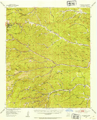
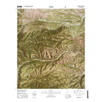
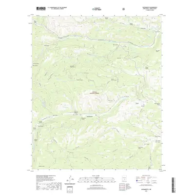
 1974 Sacramento1978 Print · USGSThe mountain settlements of Sacramento and Weed are captured in the mid-seventies during a period of active forest management. Genealogists and historians can trace local landmarks like Sivells Camp, the Agua Weed Lookout Tower, and family-named canyons including Charlie Harris Canyon.
 - 1979 Map of Alamogordo
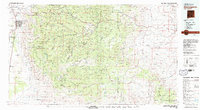 1979 Alamogordo1979 Print · USGSThe high Sacramento Mountains and the Tularosa Valley floor meet in the late seventies, showing the region's unique mix of scientific research and military land use. Genealogists and historians can trace routes to Cloudcroft, the Solar Observatory, and the McGregor Range.
 - 2004 Map of Sacramento, 2006 Print
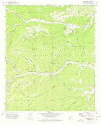
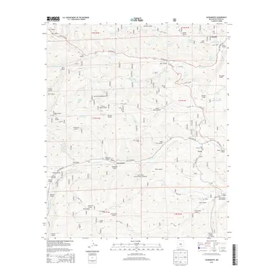
 2004 Sacramento2006 Print · USGSOtero County's high mountain forest land is captured here in the early 2000s, showing a landscape defined by canyons and religious assemblies. Researchers can trace the layout of the Sacramento Methodist Assembly, find the Weed Lookout, and locate numerous upland water sources like Bear Canyon Lake.
 - 2011 Map of Sacramento, 2011 Print
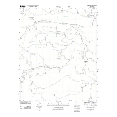 2011 Sacramento2011 Print · USGSCovers Sacramento, including Weed, Otero County, and other nearby areas
 - 2013 Map of Sacramento, 2013 Print
 2013 Sacramento2013 Print · USGSCovers Sacramento, including Weed, Otero County, and other nearby areas
 - 2017 Map of Sacramento, 2017 Print
 2017 Sacramento2017 Print · USGSCovers Sacramento, including Weed, Otero County, and other nearby areas
 - 2020 Map of Sacramento, 2020 Print
 2020 Sacramento2020 Print · USGSCovers Sacramento, including Weed, Otero County, and other nearby areas
 - 2023 Map of Sacramento, 2023 Print
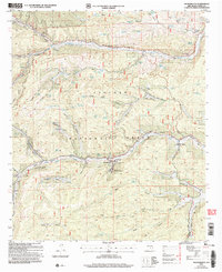
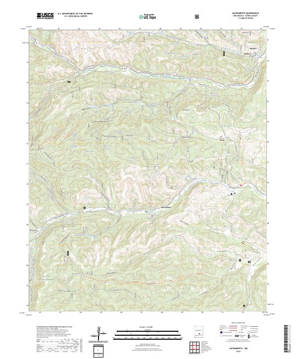 2023 Sacramento2023 Print · USGSSettled high in the Sacramento Mountains during the early twenty-first century, this Otero County region shows a landscape of timbered ridges and deep canyons. Genealogists and historians can locate the Weed Cem, trace the waters of the Rio Peñasco, and explore the mountain hamlets of Sacramento and Mayhill.
End of results
Showing maps 1-11 of 11
Top cities near Sacramento
Frequently asked questions
- What are the different types of historical maps available for Sacramento?
- What is the oldest map of Sacramento?
- Where can I purchase historical maps of Sacramento for my home or office?
- Where can I download high-res historical maps of Sacramento?
- Are there historical topographic maps available for Sacramento?
- Is there historical aerial imagery available for Sacramento?
- Where are historical maps of Sacramento sourced from?