
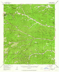
1952 Map of Cloudcroft
USGS Topo · Published 1954About this map
The Sacramento Mountains dominate this high-altitude survey, centering on the resort community of Cloudcroft at an elevation of 8,663 feet. In the early 1950s, the area served as a significant recreational and institutional hub, featuring a ski tow near the town center and multiple organized retreats such as the Girl Scout Camp, Boy Scout Camp, and James Canyon Camp Ground. The rugged terrain is deeply etched by a network of drainage systems, most notably the Rio Penasco and the Agua Chiquita Spring, which have carved numerous named canyons like Russia Canyon and James Canyon.
Find a feature on this map
81 named features on this map. Tap any name to fly to it.
Don’t see what you’re looking for? This feature index may not catch every label — zoom into the map to look around manually.
Map Details
Editions of this 1952 Cloudcroft Map
Other maps of this area

1950 · Escondido Canyon
USGS Topo · 1:62,500

1950 · Alamogordo
USGS Topo · 1:62,500

1950 · Mescalero
USGS Topo · 1:62,500

1954 · Carlsbad
USGS Topo · 1:250,000

1955 · Roswell
USGS Topo · 1:250,000

1958 · Carlsbad
USGS Topo · 1:250,000

1958 · Roswell
USGS Topo · 1:250,000

1962 · Roswell
USGS Topo · 1:250,000

1963 · Mayhill
USGS Topo · 1:24,000

1963 · Turkey Peak
USGS Topo · 1:24,000