Old Maps of La Bolsa, New Mexico for Hiking & Exploration
Hike through history with 10 historic maps of La Bolsa. Explore old trails, ghost towns, and forgotten backroads — perfect for outdoor adventurers and local explorers.
- Rediscover forgotten places: Map out old mining camps, roads, and footpaths that no longer exist on modern maps.
- Layer with modern tools: Combine with LiDAR or satellite views to plan hikes through historical terrain.
- Made for exploration: Popular among hikers, overlanders, and local history lovers.
Use these maps to find adventure and explore the hidden past of La Bolsa.
La Bolsa, NM maps
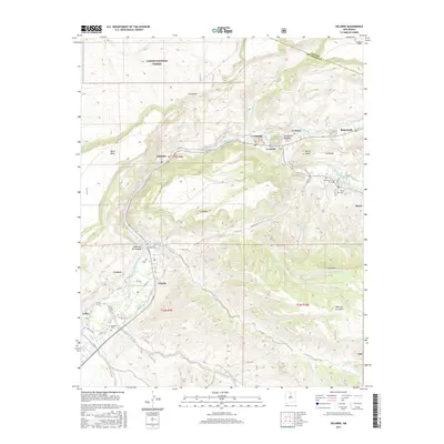
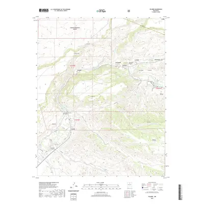
(10)- 1953 Map of Velarde, 1955 Print
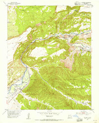 1953 Velarde1955 Print · USGSThe Rio Grande valley in the early fifties shows a landscape of traditional irrigation and canyon settlements. Genealogists and historians can trace the Low Ditch system through Velarde, find the Embudo Presbyterian Hospital, and locate family plots in the Dixon Cemeteries.2 unique versions available
 - 1954 Map of Raton, 1963 Print
 1954 Raton1963 Print · USGSNorthern New Mexico's high-country and plains are documented here in the early sixties, showing the region's ranching and mining infrastructure. Trace the legacy of the Maxwell Land Grant, locate remote rural sites like Tafoya School, and follow the Atchison Topeka and Santa Fe Railway through the heart of Raton.3 unique versions available
 - 1958 Map of Raton
 1958 Raton1958 Print · USGSNorthern New Mexico and the Colorado borderlands are mapped here in the late fifties, showcasing a landscape of high peaks and historic land grants. Genealogists and historians can trace families across Picuris Pueblo, find old schoolhouses like Piedra Lumbre School, or follow the Atchison Topeka and Santa Fe rail line.3 unique versions available
 - 1983 Map of Taos
 1983 Taos1983 Print · USGSNorthern New Mexico's high-country heritage is on full display in the early eighties, from the deep river canyons to the highest alpine peaks. Genealogists and historians can trace traditional land-grant settlements like Las Trampas, Truchas, and the historic Taos Pueblo.2 unique versions available
 - 1995 Map of Velarde, 1998 Print
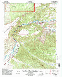 1995 Velarde1998 Print · USGSThe Rio Grande valley in the mid-nineties shows a landscape defined by historic land grants and riverside settlements. Researchers can trace the Old Railroad Grade, locate the Embudo Presbyterian Hospital, and find family sites at the Dixon Cemeteries.
 - 2011 Map of Velarde, 2011 Print
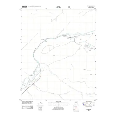 2011 Velarde2011 Print · USGSCovers La Bolsa, including La Cienaga, La Junta, and other nearby areas
 - 2013 Map of Velarde, 2013 Print
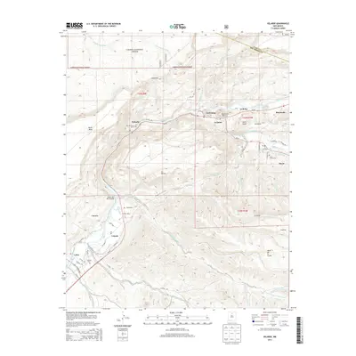 2013 Velarde2013 Print · USGSCovers La Bolsa, including La Cienaga, La Junta, and other nearby areas
 - 2017 Map of Velarde, 2017 Print
 2017 Velarde2017 Print · USGSCovers La Bolsa, including La Cienaga, La Junta, and other nearby areas
 - 2020 Map of Velarde, 2020 Print
 2020 Velarde2020 Print · USGSCovers La Bolsa, including La Cienaga, La Junta, and other nearby areas
 - 2023 Map of Velarde, 2023 Print
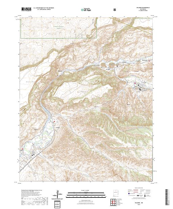 2023 Velarde2023 Print · USGSThe Rio Grande valley in Northern New Mexico is captured here in its modern state, showing a landscape deeply tied to its water and spiritual roots. Genealogists can locate numerous community burial sites including Father Kupper Cem and the Our Lady of Guadalupe Catholic Cem.
End of results
Showing maps 1-10 of 10
Top cities near La Bolsa
Frequently asked questions
- What are the different types of historical maps available for La Bolsa?
- What is the oldest map of La Bolsa?
- Where can I purchase historical maps of La Bolsa for my home or office?
- Where can I download high-res historical maps of La Bolsa?
- Are there historical topographic maps available for La Bolsa?
- Is there historical aerial imagery available for La Bolsa?
- Where are historical maps of La Bolsa sourced from?