Old Maps of La Careda, New Mexico
Explore 13 old maps of La Careda, spanning from 1918 to today. These high-resolution historic maps reveal how streets, neighborhoods, landmarks, and natural features evolved over time — perfect for genealogy, metal detecting, research, and local history exploration.
What you can do with these maps:
- See how La Careda changed over time: Compare historical maps to modern-day views to trace roads, homesites, rail lines & more.
- View detailed metadata: Each map includes creators, publishers, year, scale, and archive source.
- Overlay maps with satellite & LiDAR: Visualize the past alongside modern tools to explore terrain & human change.
- Trusted historical sources: Maps sourced from the USGS, Library of Congress, and other archives.
- Access maps your way: View online, download high-res files, or order prints for personal or research use.
Start exploring old maps of La Careda to uncover forgotten places, hidden landmarks, and the deep history beneath your feet.
La Careda, NM maps
(13)- 1918 Map of Abiquiu
 1918 Abiquiu1918 Print · USGSUpper Rio Arriba County comes alive in the years following the Great War, showing a network of historic land grants and riverside villages. Researchers can trace the path of the D. and R. G. R. R. or locate ancestral roots in Abiquiu, Vallecitos, and San Juan.
 - 1953 Map of Abiquiu, 1954 Print
 1953 Abiquiu1954 Print · USGSRio Arriba County land grants and the Chama River valley are captured in detail during the early fifties. Genealogists and historians can trace traditional property lines across the Town of Abiquiu Grant or locate sites like the Indian Ruins and Cem.3 unique versions available
 - 1953 Map of Abiquiu, 1957 Print
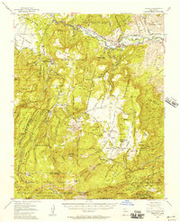 1953 Abiquiu1957 Print · USGSNorthern New Mexico in the early fifties shows a landscape of historic land grants and canyon communities. Genealogists and historians can trace traditional life through landmarks like Abiquiu, the Capilla de San Miguel, and the old Cañones Grade School.2 unique versions available
 - 1954 Map of Aztec, 1975 Print
 1954 Aztec1975 Print · USGSNorthern New Mexico and southern Colorado come alive in the mid-1950s, showing the high-country settlements and tribal lands of the San Juan Basin. Genealogists and historians can trace the path of the Denver & Rio Grande Western RR and locate communities like Abiquiu, Park View, and Lumberton.4 unique versions available
 - 1958 Map of Aztec
 1958 Aztec1958 Print · USGSNorthern New Mexico and the southern Colorado border are captured here during the mid-fifties, showing the rugged intersection of national forests and tribal lands. Researchers can trace the Denver and Rio Grande Western rail line and locate remote outposts like Blanco Trading Post or Sargent Ranch.
 - 1962 Map of Aztec
 1962 Aztec1962 Print · USGSNorthwestern New Mexico in the early sixties showcases a landscape defined by the arrival of the Navajo Reservoir and the high-altitude timber of the Carson National Forest. Trace the path of the Denver & Rio Grande Western RR or locate historic settlements like Tierra Amarilla and Gobernador.
 - 1965 Map of Aztec
 1965 Aztec1965 Print · USGSNorthern New Mexico and southern Colorado come alive in the mid-sixties, from the San Juan Basin to the high Jemez Mountains. Trace the narrow-gauge Denver & Rio Grande Western RR through Monero or locate old outposts like Blanco Trading Post.
 - 1995 Map of Abiquiu, 1998 Print
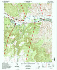 1995 Abiquiu1998 Print · USGSThe Rio Chama valley in the mid-nineties remains a landscape of historic land grants and traditional settlements. Genealogists and researchers can trace local lineage through the village of Abiquiu, the Abiquiu Elementary School, and sites like Rancho de Abiquiu and La Cañada.
 - 2011 Map of Abiquiu, 2011 Print
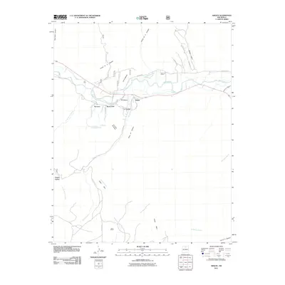 2011 Abiquiu2011 Print · USGSNew Mexico's Rio Chama valley is shown here at the start of the 2010s, revealing a landscape deeply tied to its river and traditional ditches. Genealogists and historians can trace family-named lands and rural settlements like Abiquiu, Lily Belle, and Rancho de Abiquiu.
 - 2013 Map of Abiquiu, 2013 Print
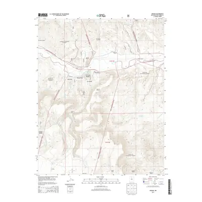 2013 Abiquiu2013 Print · USGSThe Rio Chama valley in the early twenty-first century remains a landscape of traditional acequias and small settlements. Genealogists and local historians can trace the irrigation networks of the Abeyta Trujillo Ditch and locate landmarks like Santa Rosa de Lima de Abiquiu and Buena Vista.
 - 2017 Map of Abiquiu, 2017 Print
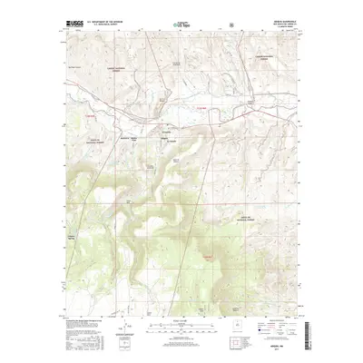 2017 Abiquiu2017 Print · USGSAbiquiu and the surrounding Rio Arriba County highlands are shown here in the mid-2010s, centered on the fertile valley of the Rio Chama. Researchers can trace the layout of traditional settlements like Abiquiu, El Curuco, and La Loma de Arena alongside the Rancho Abiquiu Ditch.
 - 2020 Map of Abiquiu, 2020 Print
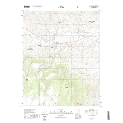 2020 Abiquiu2020 Print · USGSThe Chama River valley in Northern New Mexico is captured here in a period of modern land management and historical continuity. Researchers can trace the legacy of local settlements like Abiquiu and Barranca alongside landmarks such as Frijoles Spring and the Abiquiu-Trujillo Ditch.
 - 2023 Map of Abiquiu, 2023 Print
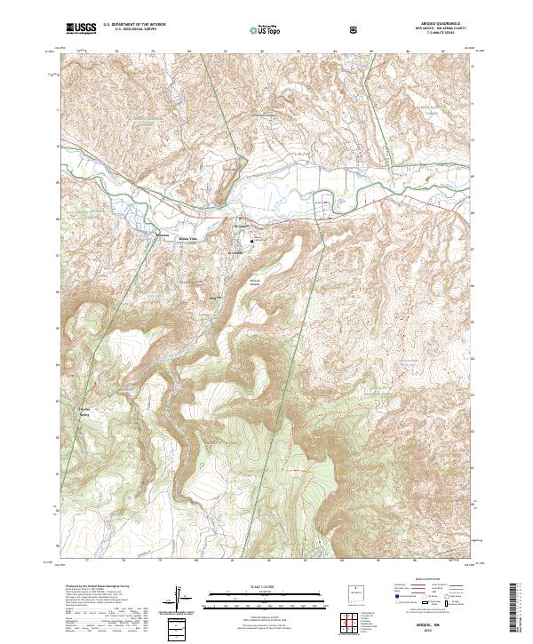 2023 Abiquiu2023 Print · USGSNew Mexico's high-desert river valleys appear in meticulous detail during this early 21st-century period. Researchers can trace historic irrigation networks through the Abiquiu Ditch and locate local landmarks such as the Abiquiu Catholic Cem and El Curuco.
End of results
Showing maps 1-13 of 13
Top cities near La Careda
Frequently asked questions
- What are the different types of historical maps available for La Careda?
- What is the oldest map of La Careda?
- Where can I purchase historical maps of La Careda for my home or office?
- Where can I download high-res historical maps of La Careda?
- Are there historical topographic maps available for La Careda?
- Is there historical aerial imagery available for La Careda?
- Where are historical maps of La Careda sourced from?