Old Maps of Montecito, New Mexico for Hiking & Exploration
Hike through history with 10 historic maps of Montecito. Explore old trails, ghost towns, and forgotten backroads — perfect for outdoor adventurers and local explorers.
- Rediscover forgotten places: Map out old mining camps, roads, and footpaths that no longer exist on modern maps.
- Layer with modern tools: Combine with LiDAR or satellite views to plan hikes through historical terrain.
- Made for exploration: Popular among hikers, overlanders, and local history lovers.
Use these maps to find adventure and explore the hidden past of Montecito.
Montecito, NM maps
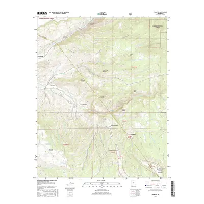
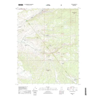
(10)- 1953 Map of Trampas, 1955 Print
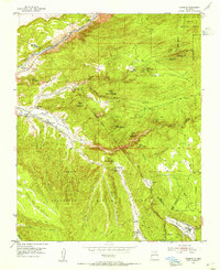 1953 Trampas1955 Print · USGSNorthern New Mexico in the early fifties shows a landscape defined by deep canyons and ancient land grants. Researchers can trace the village layout of Trampas near the Iglesia de Santo Tomas and locate old mining operations like the Harding Mine.3 unique versions available
 - 1954 Map of Raton, 1963 Print
 1954 Raton1963 Print · USGSNorthern New Mexico's high-country and plains are documented here in the early sixties, showing the region's ranching and mining infrastructure. Trace the legacy of the Maxwell Land Grant, locate remote rural sites like Tafoya School, and follow the Atchison Topeka and Santa Fe Railway through the heart of Raton.3 unique versions available
 - 1958 Map of Raton
 1958 Raton1958 Print · USGSNorthern New Mexico and the Colorado borderlands are mapped here in the late fifties, showcasing a landscape of high peaks and historic land grants. Genealogists and historians can trace families across Picuris Pueblo, find old schoolhouses like Piedra Lumbre School, or follow the Atchison Topeka and Santa Fe rail line.3 unique versions available
 - 1983 Map of Taos
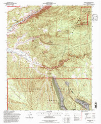
 1983 Taos1983 Print · USGSNorthern New Mexico's high-country heritage is on full display in the early eighties, from the deep river canyons to the highest alpine peaks. Genealogists and historians can trace traditional land-grant settlements like Las Trampas, Truchas, and the historic Taos Pueblo.2 unique versions available
 - 1995 Map of Trampas, 1997 Print
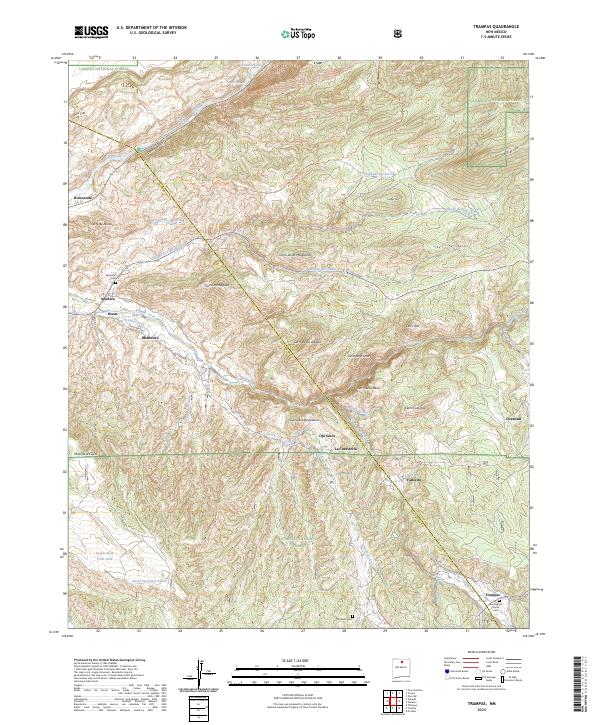
 1995 Trampas1997 Print · USGSTraditional New Mexican land grants and mountain villages define this area during the mid-nineties. Genealogists and historians can locate family landmarks in Trampas and Dixon, including the Iglesia de Santo Tomas and the Harding Mine.
 - 2011 Map of Trampas, 2011 Print
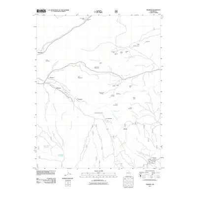 2011 Trampas2011 Print · USGSCovers Montecito, including Trampas, Vallecito, and other nearby areas
 - 2013 Map of Trampas, 2013 Print
 2013 Trampas2013 Print · USGSCovers Montecito, including Trampas, Vallecito, and other nearby areas
 - 2017 Map of Trampas, 2017 Print
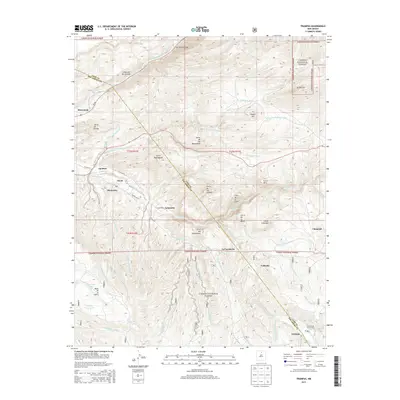
 2017 Trampas2017 Print · USGSCovers Montecito, including Trampas, Vallecito, and other nearby areas
 - 2020 Map of Trampas, 2020 Print
 2020 Trampas2020 Print · USGSCovers Montecito, including Trampas, Vallecito, and other nearby areas
 - 2023 Map of Trampas, 2023 Print
 2023 Trampas2023 Print · USGSTraditional mountain villages and irrigation ditches define this Rio Arriba landscape in the early twenty-first century. Genealogists can trace family names and burial sites at the San Jose de Garcia Cem in Trampas or the Ojo Sarco Cem.
End of results
Showing maps 1-10 of 10
Top cities near Montecito
Frequently asked questions
- What are the different types of historical maps available for Montecito?
- What is the oldest map of Montecito?
- Where can I purchase historical maps of Montecito for my home or office?
- Where can I download high-res historical maps of Montecito?
- Are there historical topographic maps available for Montecito?
- Is there historical aerial imagery available for Montecito?
- Where are historical maps of Montecito sourced from?