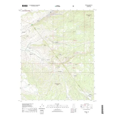
2020 Map of Trampas
USGS Topo · Published 2020About this map
Trampas and its surrounding mountain settlements sit at the edge of the Carson National Forest, where high-elevation valleys meet the dramatic descent toward the Rio Grande. This landscape is defined by the traditional Spanish land grant patterns of the Sangre de Cristo foothills, evident in the network of small communities like Apodaca, Vallecito, and La Cuestecita. The persistence of agricultural life is anchored by features like the El Llano Ditch, a vital water system for high-desert farming. In the northern reaches, the Rio Grande Wild and Scenic River carves through the Cañon del Rio Grande, while the terrain to the east rises toward peaks like Copper Hill and La Sierrita. Genealogists will find particular value in the documentation of local burial grounds, including the San Jose de Gracia Cem and Ojo Sarco Cem, which serve as anchors for the families that have inhabited these canyons for centuries.
Find a feature on this map
48 named features on this map. Tap any name to fly to it.
Don’t see what you’re looking for? This feature index may not catch every label — zoom into the map to look around manually.
Map Details
Editions of this 2020 Trampas Map
This is the sole edition of this map. No revisions or reprints were ever made.
Other maps of this area

1953 · Truchas
USGS Topo · 1:24,000

1953 · Velarde
USGS Topo · 1:24,000

1953 · Trampas
USGS Topo · 1:24,000

1953 · Chimayo
USGS Topo · 1:24,000

1954 · Raton
USGS Topo · 1:250,000

1958 · Raton
USGS Topo · 1:250,000

1960 · Taos Junction
USGS Topo · 1:24,000

1961 · Carson
USGS Topo · 1:24,000

1964 · Penasco
USGS Topo · 1:24,000

1964 · Taos SW
USGS Topo · 1:24,000