Old Maps of Ojito, New Mexico for Genealogy
Trace your family roots with 13 historic maps of Ojito. These high-res maps reveal old neighborhoods, homesites, landmarks, and streets — helping you uncover where your ancestors lived and how the area evolved over time.
- Explore historic neighborhoods: Identify where your relatives may have lived in the 1800s or 1900s.
- Compare maps over time: Trace the changes in streets, buildings, and landmarks for multi-generational research.
- Perfect for genealogy & ancestry research: Used by family historians and researchers to map out lineage and migration.
These maps are an incredible resource for exploring your personal connection to Ojito's past.
Ojito, NM maps
(13)- 1889 Map of Largo
 1889 Largo1889 Print · USGSNorthwestern New Mexico in the late nineteenth century shows a vast network of desert canyons and river valleys before modern development. Genealogists and researchers can trace early settlements like Bloomfield and Largo or locate landmarks such as Angels Peak and the remote Stinking Lakes Sinks.
 - 1895 Map of Largo, 1897 Print
 1895 Largo1897 Print · USGSNorthwestern New Mexico appears as a rugged frontier of canyons and high peaks in the years before statehood. Researchers can trace early settlements at Bloomfield and Largo or locate iconic landmarks such as El Huerfano and the headwaters of Canon Largo.3 unique versions available
 - 1954 Map of Aztec, 1975 Print
 1954 Aztec1975 Print · USGSNorthern New Mexico and southern Colorado come alive in the mid-1950s, showing the high-country settlements and tribal lands of the San Juan Basin. Genealogists and historians can trace the path of the Denver & Rio Grande Western RR and locate communities like Abiquiu, Park View, and Lumberton.4 unique versions available
 - 1958 Map of Aztec
 1958 Aztec1958 Print · USGSNorthern New Mexico and the southern Colorado border are captured here during the mid-fifties, showing the rugged intersection of national forests and tribal lands. Researchers can trace the Denver and Rio Grande Western rail line and locate remote outposts like Blanco Trading Post or Sargent Ranch.
 - 1962 Map of Aztec
 1962 Aztec1962 Print · USGSNorthwestern New Mexico in the early sixties showcases a landscape defined by the arrival of the Navajo Reservoir and the high-altitude timber of the Carson National Forest. Trace the path of the Denver & Rio Grande Western RR or locate historic settlements like Tierra Amarilla and Gobernador.
 - 1963 Map of Ojito, 1965 Print
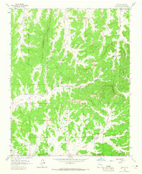 1963 Ojito1965 Print · USGSHigh desert ranching and tribal lands meet at the Continental Divide in the early 1960s. Researchers can locate remote family landmarks like Huffman Ranch, the settlement of Ojito, and a lonely hillside Cem.2 unique versions available
 - 1965 Map of Aztec
 1965 Aztec1965 Print · USGSNorthern New Mexico and southern Colorado come alive in the mid-sixties, from the San Juan Basin to the high Jemez Mountains. Trace the narrow-gauge Denver & Rio Grande Western RR through Monero or locate old outposts like Blanco Trading Post.
 - 1976 Map of Chaco Canyon, 1978 Print
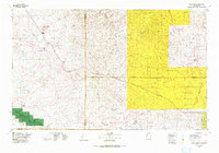 1976 Chaco Canyon1978 Print · USGSNorthwestern New Mexico in the mid-seventies is a landscape of ancient ruins, high desert mesas, and remote outposts. Researchers can trace the legacy of the regional economy through sites like the Huerfano Trading Post and Nageezi, or locate early industrial infrastructure within the Escrito Oil Field.
 - 2010 Map of Ojito, 2010 Print
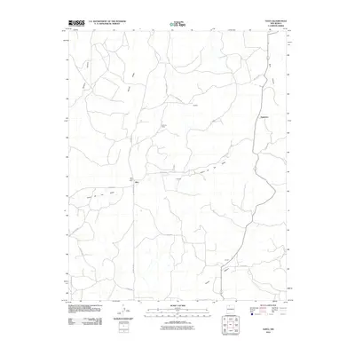 2010 Ojito2010 Print · USGSNorthern New Mexico's high-country ranching and post-office settlements are captured here in the early 2000s. Researchers can locate the Ojito Post Office and trace rural lifelines like Bechdol Rd through Sleeper Canyon and Gavilan.
 - 2013 Map of Ojito, 2013 Print
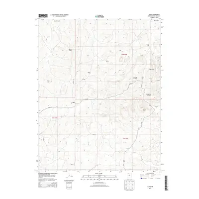 2013 Ojito2013 Print · USGSNorthern New Mexico's ranching country is captured here in the early twenty-first century, showing the remote canyon lands of Rio Arriba County. Trace local geography through Huffman Ranch, Ojito, and the drainages of Gavilan Canyon.
 - 2017 Map of Ojito, 2017 Print
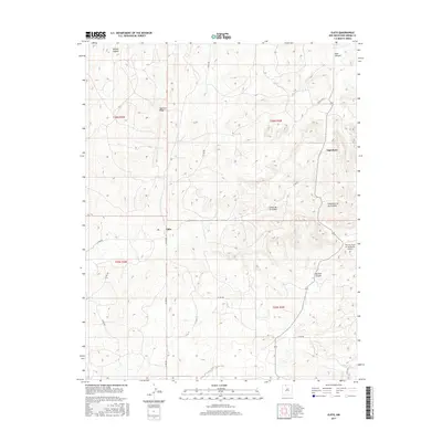 2017 Ojito2017 Print · USGSHigh desert canyons and ridges in Rio Arriba County define this landscape in the early twenty-first century. Researchers can trace the remote settlements of Ojito and Tapicitoes, or locate landmarks like the Murrow Field on the Divide Airport.
 - 2020 Map of Ojito, 2020 Print
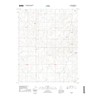 2020 Ojito2020 Print · USGSRio Arriba County’s high-country terrain is captured here in the early twenty-first century, showing a landscape of deep canyons and isolated settlements. Researchers can trace the rural road networks connecting Ojito and Tapicitoes or locate Murrow Field on the Divide Airport.
 - 2023 Map of Ojito, 2023 Print
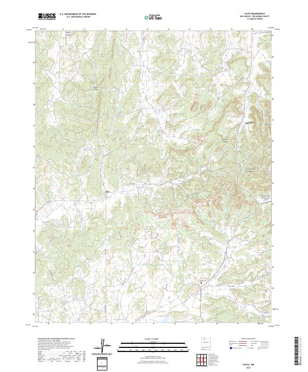 2023 Ojito2023 Print · USGSNorthern New Mexico's high desert plateaus are documented here in the early twenty-first century, showing the remote canyon lands of Rio Arriba County. Genealogists and local historians can trace the roads to Gavilan Cem or locate the settlements of Ojito and Tapicitoes.
End of results
Showing maps 1-13 of 13
Top cities near Ojito
Frequently asked questions
- What are the different types of historical maps available for Ojito?
- What is the oldest map of Ojito?
- Where can I purchase historical maps of Ojito for my home or office?
- Where can I download high-res historical maps of Ojito?
- Are there historical topographic maps available for Ojito?
- Is there historical aerial imagery available for Ojito?
- Where are historical maps of Ojito sourced from?