Old Maps of Dora, New Mexico for Academic Research
Study the evolution of Dora with 9 high-resolution historic maps. Whether you're teaching, researching, or modeling changes in land use, these maps provide essential visual documentation of urban, environmental, and geographic change.
- Analyze long-term change: Track patterns in development, transportation, and natural features.
- Ideal for environmental or urban studies: Support academic projects with primary historical map data.
- Use in the classroom or lab: Educators and researchers rely on these maps to bring historical context to life.
These maps are a powerful tool for teaching, research, and visualizing how Dora has changed over the decades.
Dora, NM maps
(9)- 1954 Map of Brownfield, 1975 Print
 1954 Brownfield1975 Print · USGSThe High Plains of the Texas-New Mexico border are captured here in the mid-twentieth century, as ranching and oil extraction shaped the Llano Estacado. Genealogists and historians can trace small rural centers like Lums Chapel, Hillburn City, and the Friendship Sch amid a landscape of windmills.2 unique versions available
 - 1958 Map of Brownfield
 1958 Brownfield1958 Print · USGSThe High Plains of the Texas-New Mexico border are captured here during a mid-century oil boom. Genealogists and historians can trace old community sites like Lums Chapel and Tokio alongside the vast Levelland and Slaughter Oil and Gas Field.
 - 1962 Map of Brownfield
 1962 Brownfield1962 Print · USGSThe High Plains of Texas and New Mexico are captured in the early sixties as a thriving hub of oil production and ranching. Researchers can trace the industrial footprint of the Levelland and Slaughter Oil and Gas Field or locate smaller towns like Sundown and Littlefield.
 - 1972 Map of Dora, 1975 Print
 1972 Dora1975 Print · USGSThe village of Dora and its surrounding high plains are captured in the early 1970s as a quiet center of Roosevelt County life. Researchers can trace the town's extent and locate important landmarks like Mt Zion Cem, the settlement of Burkett, and numerous local wells.2 unique versions available
 - 2010 Map of Dora, 2010 Print
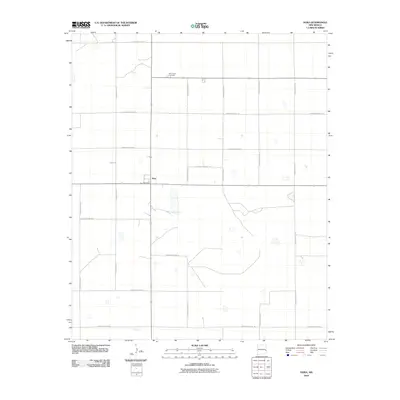 2010 Dora2010 Print · USGSDora and the surrounding Roosevelt County plains are captured here in the early twenty-first century. Genealogists and local historians can locate Mount Zion Cemetery and the Dora Post Office within the region's expansive road grid.
 - 2013 Map of Dora, 2013 Print
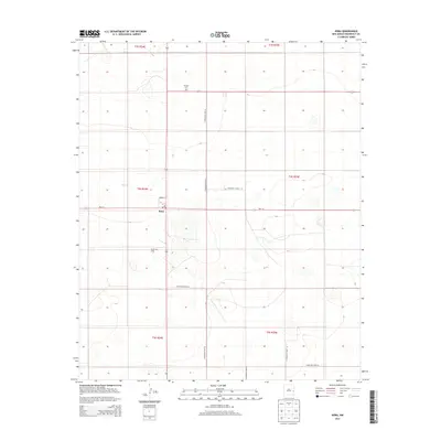 2013 Dora2013 Print · USGSDora and the surrounding Roosevelt County plains are captured here in the early twenty-first century as agricultural life continues to shape the landscape. Local researchers can trace the locations of the PO, Mt Zion Cem, and the Ruvalcaba Dairy.
 - 2017 Map of Dora, 2017 Print
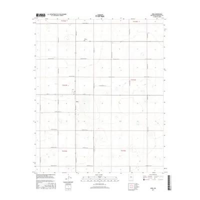 2017 Dora2017 Print · USGSDora and the surrounding Roosevelt County plains are captured in this recent survey of eastern New Mexico's ranching and farming country. Researchers can trace the layout of the central village around Dora Main St or locate family sites near Mount Zion Cem and S Roosevelt Road 26.
 - 2020 Map of Dora, 2020 Print
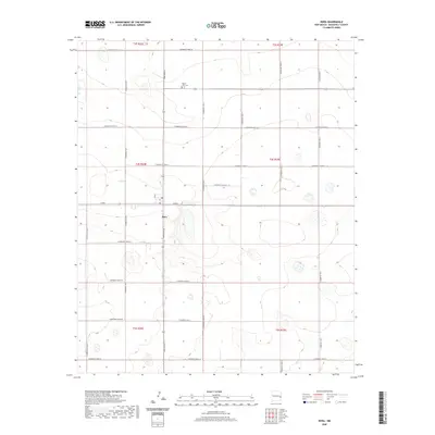 2020 Dora2020 Print · USGSThe high plains around Dora come into focus in this recent survey of eastern New Mexico. Genealogists and local historians can trace the town’s grid along Dora Main Street and locate family burial sites at Mount Zion Cemetery.
 - 2023 Map of Dora, 2023 Print
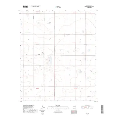 2023 Dora2023 Print · USGSModern Roosevelt County maintains its traditional agricultural grid in this recent survey of the eastern New Mexico plains. Genealogists and local historians can trace the center of Dora and the nearby Mount Zion Cemetery along Dora Main Street.
End of results
Showing maps 1-9 of 9
Top cities near Dora
Frequently asked questions
- What are the different types of historical maps available for Dora?
- What is the oldest map of Dora?
- Where can I purchase historical maps of Dora for my home or office?
- Where can I download high-res historical maps of Dora?
- Are there historical topographic maps available for Dora?
- Is there historical aerial imagery available for Dora?
- Where are historical maps of Dora sourced from?