Old Maps of Aztec, New Mexico for Hiking & Exploration
Hike through history with 26 historic maps of Aztec. Explore old trails, ghost towns, and forgotten backroads — perfect for outdoor adventurers and local explorers.
- Rediscover forgotten places: Map out old mining camps, roads, and footpaths that no longer exist on modern maps.
- Layer with modern tools: Combine with LiDAR or satellite views to plan hikes through historical terrain.
- Made for exploration: Popular among hikers, overlanders, and local history lovers.
Use these maps to find adventure and explore the hidden past of Aztec.
Aztec, NM maps
(26)- 1889 Map of Largo
 1889 Largo1889 Print · USGSNorthwestern New Mexico in the late nineteenth century shows a vast network of desert canyons and river valleys before modern development. Genealogists and researchers can trace early settlements like Bloomfield and Largo or locate landmarks such as Angels Peak and the remote Stinking Lakes Sinks.
 - 1889 Map of Chaco
 1889 Chaco1889 Print · USGSNorthwestern New Mexico appears here in the late nineteenth century as a frontier of emerging river settlements and high-desert springs. Researchers can trace early footprints at Farmington and Aztec, or locate watering points like Sheep Spring and Seven Lakes.
 - 1892 Map of Chaco
 1892 Chaco1892 Print · USGSNorthwestern New Mexico in the late nineteenth century reveals the early river-side foundations of the Four Corners region. Genealogists and historians can trace the development of Farmington, Aztec, and Jewett along the San Juan River and the high desert outpost of Seven Lakes.5 unique versions available
 - 1895 Map of Largo, 1897 Print
 1895 Largo1897 Print · USGSNorthwestern New Mexico appears as a rugged frontier of canyons and high peaks in the years before statehood. Researchers can trace early settlements at Bloomfield and Largo or locate iconic landmarks such as El Huerfano and the headwaters of Canon Largo.3 unique versions available
 - 1954 Map of Shiprock
 1954 Shiprock1954 Print · USGSThe Four Corners region in the mid-fifties reveals a vast landscape of tribal lands and desert landmarks. Researchers can trace the mid-century footprints of the Navajo Indian Reservation, identifying remote Trading Posts, the early growth of Farmington, and the iconic spire of Ship Rock.5 unique versions available
 - 1954 Map of Aztec, 1975 Print
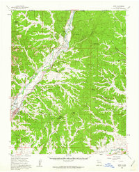
 1954 Aztec1975 Print · USGSNorthern New Mexico and southern Colorado come alive in the mid-1950s, showing the high-country settlements and tribal lands of the San Juan Basin. Genealogists and historians can trace the path of the Denver & Rio Grande Western RR and locate communities like Abiquiu, Park View, and Lumberton.4 unique versions available
 - 1958 Map of Shiprock
 1958 Shiprock1958 Print · USGSThe Four Corners region in the mid-fifties shows a vast network of remote outposts and river settlements. You can locate numerous historic sites like the Emmanuel Mission and several commercial hubs such as Burnham Trading Post and Bisti Trading Post.
 - 1958 Map of Aztec
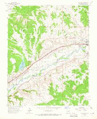
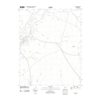
 1958 Aztec1958 Print · USGSNorthern New Mexico and the southern Colorado border are captured here during the mid-fifties, showing the rugged intersection of national forests and tribal lands. Researchers can trace the Denver and Rio Grande Western rail line and locate remote outposts like Blanco Trading Post or Sargent Ranch.
 - 1959 Map of Shiprock
 1959 Shiprock1959 Print · USGSThe Four Corners region comes alive in the mid-fifties, showing the high desert outposts and river-valley towns of the Navajo Nation and San Juan County. Genealogists and researchers can locate remote landmarks like the Burnham Trading Post, Two Grey Hills, and the early Helium Plant.
 - 1959 Map of Aztec, 1962 Print
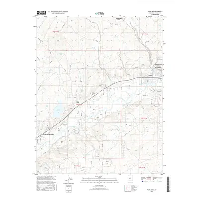
 1959 Aztec1962 Print · USGSNorthern New Mexico in the late fifties was a landscape of river-valley rail towns and ancient history. Local researchers can trace the old rail lines of the Denver and Rio Grande Western R R and find landmarks like Aztec Ruins Nat Mon and McCoy Ave Sch.3 unique versions available
 - 1962 Map of Aztec
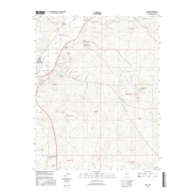
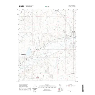
 1962 Aztec1962 Print · USGSNorthwestern New Mexico in the early sixties showcases a landscape defined by the arrival of the Navajo Reservoir and the high-altitude timber of the Carson National Forest. Trace the path of the Denver & Rio Grande Western RR or locate historic settlements like Tierra Amarilla and Gobernador.
 - 1963 Map of Flora Vista, 1965 Print
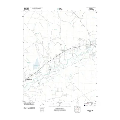
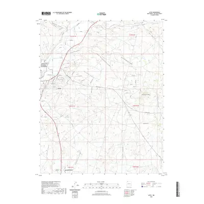
 1963 Flora Vista1965 Print · USGSSan Juan County saw significant growth in the early sixties as the Animas River valley balanced agriculture and industry. Genealogists and historians can trace family locations near Flora Vista Cem, Elledge Mill, and the Aztec Ruins.4 unique versions available
 - 1965 Map of Aztec
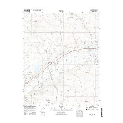
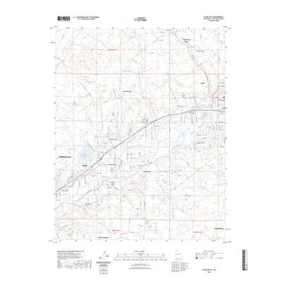
 1965 Aztec1965 Print · USGSNorthern New Mexico and southern Colorado come alive in the mid-sixties, from the San Juan Basin to the high Jemez Mountains. Trace the narrow-gauge Denver & Rio Grande Western RR through Monero or locate old outposts like Blanco Trading Post.
 - 1980 Map of Farmington, 1981 Print
 1980 Farmington1981 Print · USGSIn the San Juan Basin during the early 1980s, the energy economy was rapidly transforming the landscape around Farmington and Shiprock. Genealogists and historians can trace the growth of river towns like Kirtland or locate specific sites like the Navajo Mine and Aztec Ruins.2 unique versions available
 - 1980 Map of Navajo Reservoir, 1981 Print
 1980 Navajo Reservoir1981 Print · USGSThe high desert and river valleys of Rio Arriba and San Juan counties are captured here in the early eighties. Genealogists and local historians can trace the development of Aztec and Bloomfield or locate family sites along Gubernador Canyon and the Animas River.
 - 1985 Map of Aztec
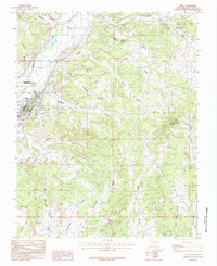 1985 Aztec1985 Print · USGSIn the mid-eighties, the high desert around the Animas River was a landscape of ancestral history and modern energy production. Researchers can trace the Old Railroad Grade, locate the Aztec Ruins National Monument, and explore the rugged drainages of Williams Arroyo and Potter Canyon.
 - 2010 Map of Flora Vista, 2010 Print
 2010 Flora Vista2010 Print · USGSCovers Aztec, including Farmington, Bloomfield, and other nearby areas
 - 2010 Map of Aztec, 2010 Print
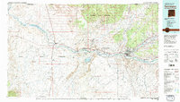
 2010 Aztec2010 Print · USGSCovers Aztec, including Bloomfield, San Juan County, and other nearby areas
 - 2013 Map of Aztec, 2013 Print
 2013 Aztec2013 Print · USGSCovers Aztec, including Bloomfield, San Juan County, and other nearby areas
 - 2013 Map of Flora Vista, 2013 Print
 2013 Flora Vista2013 Print · USGSCovers Aztec, including Farmington, Bloomfield, and other nearby areas
 - 2017 Map of Aztec, 2017 Print
 2017 Aztec2017 Print · USGSCovers Aztec, including Bloomfield, San Juan County, and other nearby areas
 - 2017 Map of Flora Vista, 2017 Print
 2017 Flora Vista2017 Print · USGSCovers Aztec, including Farmington, Bloomfield, and other nearby areas
 - 2020 Map of Flora Vista, 2020 Print
 2020 Flora Vista2020 Print · USGSCovers Aztec, including Farmington, Bloomfield, and other nearby areas
 - 2020 Map of Aztec, 2020 Print
 2020 Aztec2020 Print · USGSCovers Aztec, including Bloomfield, San Juan County, and other nearby areas
 - 2023 Map of Flora Vista, 2023 Print
 2023 Flora Vista2023 Print · USGSThe Animas River valley comes into sharp focus during the early twenty-first century, revealing a complex landscape of irrigation and highland mesas. You can trace the path of historic water systems like the Halford Independent Ditch or locate family sites at the Flora Vista Cem and Memory Gardens of Farmington.
Showing maps 1-25 of 26
Top cities near Aztec
- Farmington historical maps
- Bloomfield historical maps
- Aztec historical maps
- Eastern Navajo Agency historical maps
- Flora Vista historical maps
Top neighborhoods of Aztec
Frequently asked questions
- What are the different types of historical maps available for Aztec?
- What is the oldest map of Aztec?
- Where can I purchase historical maps of Aztec for my home or office?
- Where can I download high-res historical maps of Aztec?
- Are there historical topographic maps available for Aztec?
- Is there historical aerial imagery available for Aztec?
- Where are historical maps of Aztec sourced from?