2020s Maps of Kirtland, New Mexico
Explore 8 historic maps of Kirtland from the 2020s. These maps offer a rare glimpse into what life looked like during the 2020s — showing old roads, neighborhoods, homes, and landmarks that have changed or disappeared over time.
Whether you're researching your family's past, planning a metal detecting trip, or studying how Kirtland's landscape evolved across the 2020s, these high-resolution maps are a powerful tool for exploring the history of this region.
- Focus on a specific era: All maps on this page are from the 2020s, giving you a focused view of this time period.
- See what’s changed: Compare century-old streets, trails, and buildings to today's modern landscape using overlays and satellite layers.
- Research with precision: Use these maps for genealogy, historical research, land use analysis, or educational projects.
- View, download, or print: Maps are fully viewable online in high resolution, and can be downloaded or printed for your own records.
Start exploring Kirtland's history through authentic maps from the 2020s. This is your window into the past.
Kirtland, NM maps
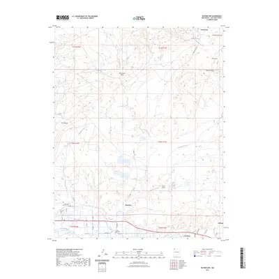
(8)- 2020 Map of Waterflow, 2020 Print
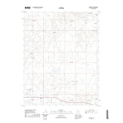 2020 Waterflow2020 Print · USGSCovers Kirtland, including Shiprock Agency, Cottonwood, and other nearby areas
 - 2020 Map of Youngs Lake, 2020 Print
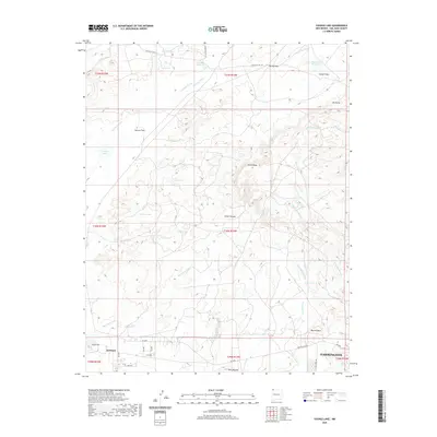 2020 Youngs Lake2020 Print · USGSCovers Kirtland, including Farmington, San Juan County, and other nearby areas
 - 2020 Map of Fruitland, 2020 Print
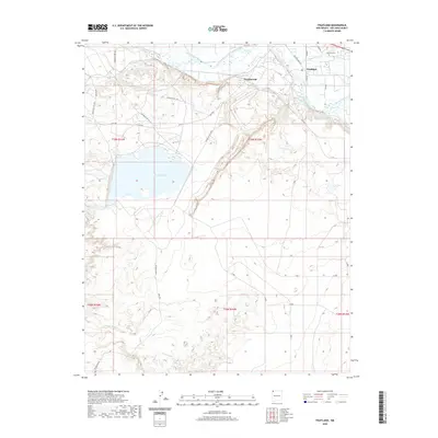 2020 Fruitland2020 Print · USGSCovers Kirtland, including Shiprock Agency, Nenahnezad, and other nearby areas
 - 2020 Map of Kirtland, 2020 Print
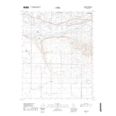
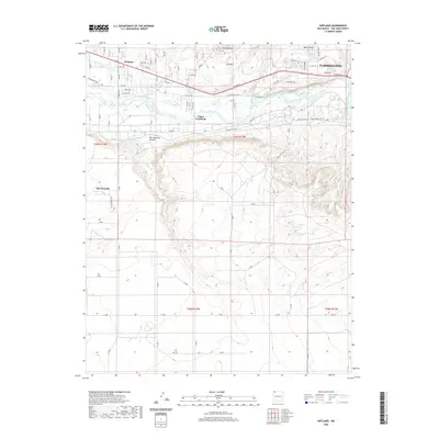 2020 Kirtland2020 Print · USGSCovers Kirtland, including Farmington, Shiprock Agency, and other nearby areas
 - 2023 Map of Kirtland, 2023 Print
 2023 Kirtland2023 Print · USGSThe San Juan River valley comes to life in this contemporary study of the Kirtland area, showcasing the desert irrigation and canyon terrain. Trace the paths of the Fruitland Irrigation Canal and explore family landmarks like the Rose Garden Cem or Upper Fruitland.
 - 2023 Map of Youngs Lake, 2023 Print
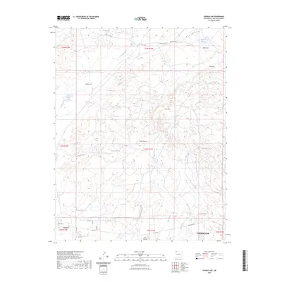 2023 Youngs Lake2023 Print · USGSSan Juan County near Kirtland and Farmington is shown here at the start of the 2020s, revealing a landscape defined by desert water management. Researchers can trace local landmarks like Locke Lake, Ute Dome, and the reach of Cottonwood Wash across the mesas.
 - 2023 Map of Waterflow, 2023 Print
 2023 Waterflow2023 Print · USGSThe San Juan River valley comes into sharp focus during the 2020s, showing the modern layout of riverside communities. Researchers can trace land use near the Jewett Valley Ditch or locate family history sites at Waterflow Cem and Sacred Heart Cem.
 - 2023 Map of Fruitland, 2023 Print
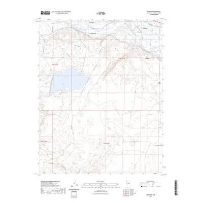 2023 Fruitland2023 Print · USGSThe San Juan River valley comes into sharp focus in the early 2020s, revealing a complex network of historic irrigation and modern settlements. Trace the heritage of water rights along the Farmers Mutual Ditch and locate family sites near Kirtland Cem and Upper Fruitland.
End of results
Showing maps 1-8 of 8
Top cities near Kirtland
Frequently asked questions
- What are the different types of historical maps available for Kirtland?
- What is the oldest map of Kirtland?
- Where can I purchase historical maps of Kirtland for my home or office?
- Where can I download high-res historical maps of Kirtland?
- Are there historical topographic maps available for Kirtland?
- Is there historical aerial imagery available for Kirtland?
- Where are historical maps of Kirtland sourced from?