2000s (21st Century) Maps of Lower Pueblo, New Mexico
Explore 6 historic maps of Lower Pueblo from the 2000s (21st Century). These maps offer a rare glimpse into what life looked like during the 2000s — showing old roads, neighborhoods, homes, and landmarks that have changed or disappeared over time.
Whether you're researching your family's past, planning a metal detecting trip, or studying how Lower Pueblo's landscape evolved across the 2000s, these high-resolution maps are a powerful tool for exploring the history of this region.
- Focus on a specific era: All maps on this page are from the 2000s, giving you a focused view of this time period.
- See what’s changed: Compare century-old streets, trails, and buildings to today's modern landscape using overlays and satellite layers.
- Research with precision: Use these maps for genealogy, historical research, land use analysis, or educational projects.
- View, download, or print: Maps are fully viewable online in high resolution, and can be downloaded or printed for your own records.
Start exploring Lower Pueblo's history through authentic maps from the 2000s. This is your window into the past.
Lower Pueblo, NM maps
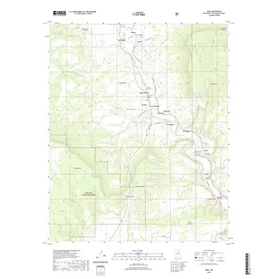
(6)- 2002 Map of Sena, 2003 Print
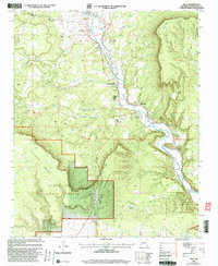 2002 Sena2003 Print · USGSSan Miguel County's river-valley life is on display in this early 2000s survey of the Pecos corridor. Researchers can trace traditional water rights through the Ribera Ditch and locate historic village centers like San Miguel and Upper Pueblo.
 - 2011 Map of Sena, 2011 Print
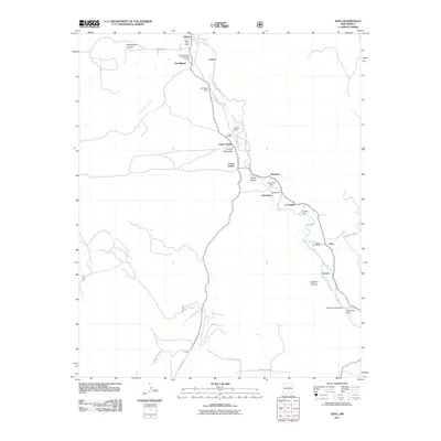 2011 Sena2011 Print · USGSCovers Lower Pueblo, including La Fragua, Garanbuio, and other nearby areas
 - 2013 Map of Sena, 2013 Print
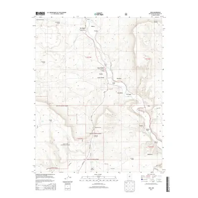 2013 Sena2013 Print · USGSCovers Lower Pueblo, including La Fragua, Garanbuio, and other nearby areas
 - 2017 Map of Sena, 2017 Print
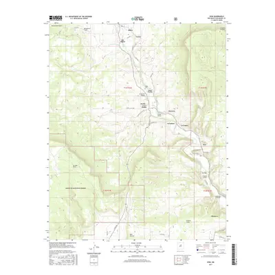 2017 Sena2017 Print · USGSCovers Lower Pueblo, including La Fragua, Garanbuio, and other nearby areas
 - 2020 Map of Sena, 2020 Print
 2020 Sena2020 Print · USGSCovers Lower Pueblo, including La Fragua, Garanbuio, and other nearby areas
 - 2023 Map of Sena, 2023 Print
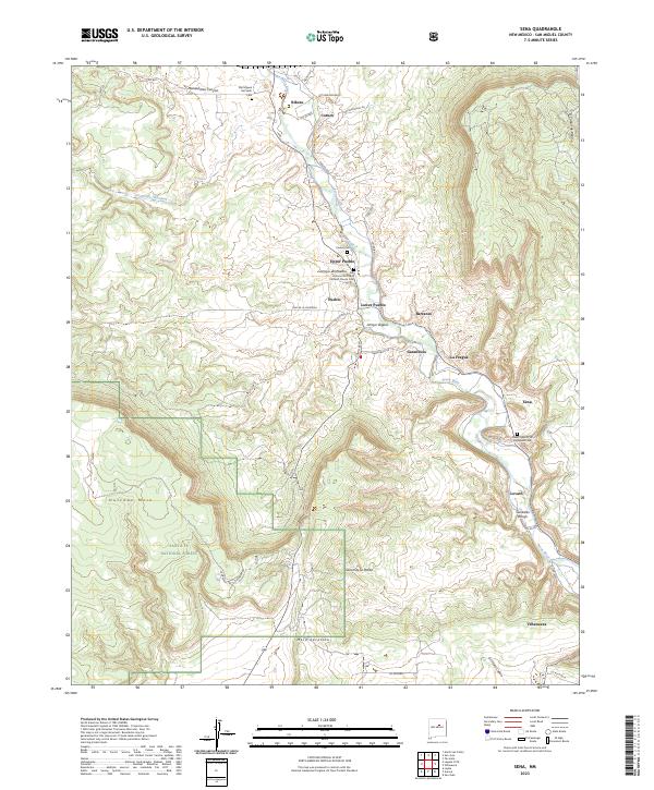 2023 Sena2023 Print · USGSUpper Pecos River valley settlements are documented here in their modern context, from Villanueva to Ribera. Genealogists can trace family locations near the San Antonio De Padua Catholic Church or the San Miguel Del Vado Cem and see how the river shapes life in Sena.
End of results
Showing maps 1-6 of 6
Frequently asked questions
- What are the different types of historical maps available for Lower Pueblo?
- What is the oldest map of Lower Pueblo?
- Where can I purchase historical maps of Lower Pueblo for my home or office?
- Where can I download high-res historical maps of Lower Pueblo?
- Are there historical topographic maps available for Lower Pueblo?
- Is there historical aerial imagery available for Lower Pueblo?
- Where are historical maps of Lower Pueblo sourced from?