2000s (21st Century) Maps of North San Ysidro, New Mexico
Explore 6 historic maps of North San Ysidro from the 2000s (21st Century). These maps offer a rare glimpse into what life looked like during the 2000s — showing old roads, neighborhoods, homes, and landmarks that have changed or disappeared over time.
Whether you're researching your family's past, planning a metal detecting trip, or studying how North San Ysidro's landscape evolved across the 2000s, these high-resolution maps are a powerful tool for exploring the history of this region.
- Focus on a specific era: All maps on this page are from the 2000s, giving you a focused view of this time period.
- See what’s changed: Compare century-old streets, trails, and buildings to today's modern landscape using overlays and satellite layers.
- Research with precision: Use these maps for genealogy, historical research, land use analysis, or educational projects.
- View, download, or print: Maps are fully viewable online in high resolution, and can be downloaded or printed for your own records.
Start exploring North San Ysidro's history through authentic maps from the 2000s. This is your window into the past.
North San Ysidro, NM maps
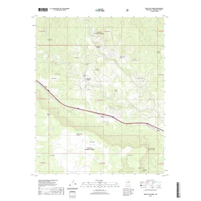
(6)- 2002 Map of North San Ysidro, 2003 Print
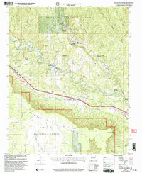 2002 North San Ysidro2003 Print · USGSSan Miguel County at the turn of the millennium shows a landscape defined by the Pecos River and deep-rooted land grants. Researchers can trace the Santa Fe National Historic Trail through the settlements of Ilfeld, Gise, and North San Ysidro.
 - 2011 Map of North San Ysidro, 2011 Print
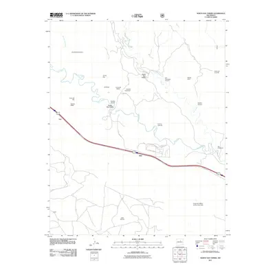 2011 North San Ysidro2011 Print · USGSCovers North San Ysidro, including Gise, South San Ysidro, and other nearby areas
 - 2013 Map of North San Ysidro, 2013 Print
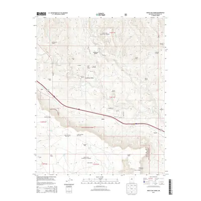 2013 North San Ysidro2013 Print · USGSCovers North San Ysidro, including Gise, South San Ysidro, and other nearby areas
 - 2017 Map of North San Ysidro, 2017 Print
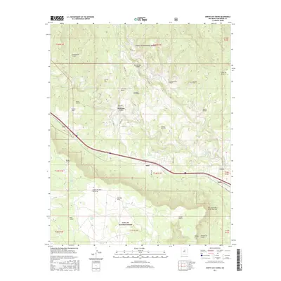 2017 North San Ysidro2017 Print · USGSCovers North San Ysidro, including Gise, South San Ysidro, and other nearby areas
 - 2020 Map of North San Ysidro, 2020 Print
 2020 North San Ysidro2020 Print · USGSCovers North San Ysidro, including Gise, South San Ysidro, and other nearby areas
 - 2023 Map of North San Ysidro, 2023 Print
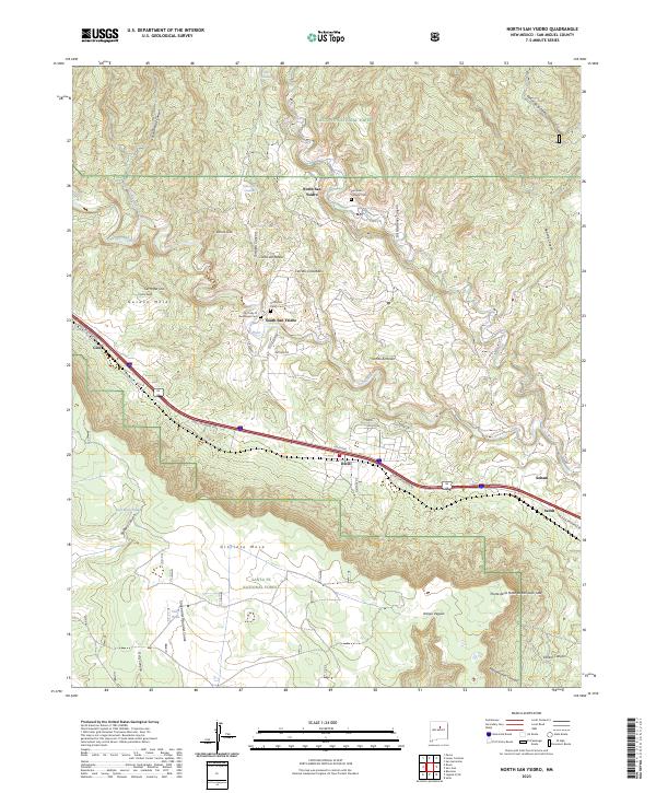 2023 North San Ysidro2023 Print · USGSThe upper Pecos River valley comes into focus in this recent survey of Spanish-settled villages in San Miguel County. Family historians can trace local landmarks from North San Ysidro to Soham, including the San Isidro Catholic Cem and the strategic Ilfeld Pass.
End of results
Showing maps 1-6 of 6
Top cities near North San Ysidro
Frequently asked questions
- What are the different types of historical maps available for North San Ysidro?
- What is the oldest map of North San Ysidro?
- Where can I purchase historical maps of North San Ysidro for my home or office?
- Where can I download high-res historical maps of North San Ysidro?
- Are there historical topographic maps available for North San Ysidro?
- Is there historical aerial imagery available for North San Ysidro?
- Where are historical maps of North San Ysidro sourced from?