Old Maps of San Jose, New Mexico for Academic Research
Study the evolution of San Jose with 14 high-resolution historic maps. Whether you're teaching, researching, or modeling changes in land use, these maps provide essential visual documentation of urban, environmental, and geographic change.
- Analyze long-term change: Track patterns in development, transportation, and natural features.
- Ideal for environmental or urban studies: Support academic projects with primary historical map data.
- Use in the classroom or lab: Educators and researchers rely on these maps to bring historical context to life.
These maps are a powerful tool for teaching, research, and visualizing how San Jose has changed over the decades.
San Jose, NM maps
(14)- 1890 Map of Bernal, 1956 Print
 1890 Bernal1956 Print · USGSSettlements along the Pecos River valley and the critical rail corridor of the late nineteenth century define this New Mexico landscape. Researchers can trace the early rail stops and traditional plazas of San Miguel, Old Bernal, and Anton Chico.
 - 1891 Map of Bernal
 1891 Bernal1891 Print · USGSNorthern New Mexico's river valleys and mesa lands are captured here just as the railroad began transforming the territory's commerce. Genealogists can trace family roots in historic plazas like San Miguel, La Cuesta, and San Jose before modern development changed these rural corridors.
 - 1894 Map of Bernal
 1894 Bernal1894 Print · USGSSan Miguel County at the end of the nineteenth century is captured here as the railroad began to reshape the old river settlements. Genealogists can trace family roots in historic villages like Old Bernal, Anton Chico, and La Liendre.4 unique versions available
 - 1954 Map of Santa Fe, 1963 Print
 1954 Santa Fe1963 Print · USGSNew Mexico's high mountains and eastern plains meet in the mid-fifties, showing a landscape defined by the Sangre de Cristo Mountains and the Pecos River. Trace family roots and local history through San Christobal Church, Sena School, and the historic Las Vegas rail corridor.4 unique versions available
 - 1958 Map of Santa Fe
 1958 Santa Fe1958 Print · USGSThe Sangre De Cristo Mountains meet the high plains in the late 1950s, showing a landscape defined by rail corridors and ranching. Genealogists can trace family-named sites like Upton Ranch or visit the Fort Union (Ruins) and Tuloso School.
 - 1960 Map of Villanueva, 1962 Print
 1960 Villanueva1962 Print · USGSThe Pecos River valley in the early sixties maintains its traditional network of villages and acequia irrigation ditches. Genealogists and historians can trace family locations across the San Miguel Del Bado Tract and find settlements like Sena, El Cerrito, and San Miguel.
 - 1983 Map of Villanueva, 1984 Print
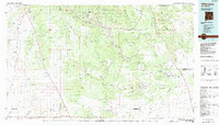 1983 Villanueva1984 Print · USGSThe Pecos River valley and its high mesa surroundings are captured here in the early eighties. Researchers can trace historic river settlements like Villanueva and Sena, the route of the Atchison Topeka and Santa Fe railroad, and the high-desert terrain of Glorieta Mesa.
 - 1989 Map of San Jose
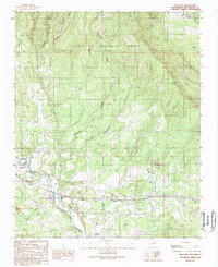 1989 San Jose1989 Print · USGSThe Pecos River valley in the late 1980s reveals a traditional New Mexico landscape where rail and water dictate settlement. Genealogists and historians can trace family-named sites like Lucero and El Ancon, or locate the San Bacino Ch and local Cem plots.
 - 2002 Map of San Jose, 2003 Print
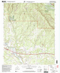 2002 San Jose2003 Print · USGSThis San Miguel County landscape near the turn of the millennium shows a deep intersection of Spanish land grant history and early American transport. Genealogists and historians can trace the traditional settlements of San Jose and Ribera alongside the Santa Fe National Historic Trail and the Atchison Topeka and Santa Fe RR.
 - 2011 Map of San Jose, 2011 Print
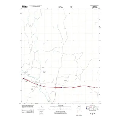 2011 San Jose2011 Print · USGSThe Pecos River valley in San Miguel County is shown here in the early twenty-first century, centering on a historic corridor of riverside villages. Local researchers can trace the roads and waterworks connecting San Jose, Lucero, and Ribera, along with landmarks like the Priest Mine.
 - 2013 Map of San Jose, 2013 Print
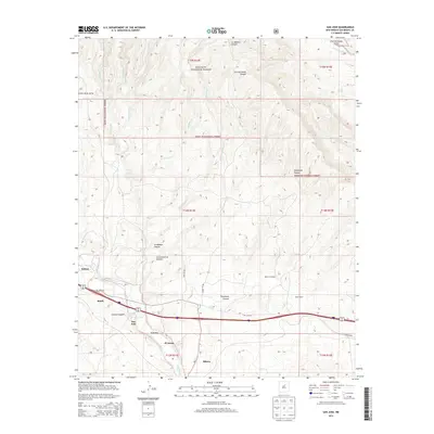 2013 San Jose2013 Print · USGSThe Pecos River valley in the early twenty-first century remains a corridor of historic river settlements and high mountain terrain. Genealogists and local historians can trace the community layouts of San Jose, Ribera, and Soham or locate landmarks like the Melton Windmill.
 - 2017 Map of San Jose, 2017 Print
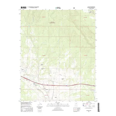 2017 San Jose2017 Print · USGSUpper Pecos River settlements remain the focus of this recent survey of San Miguel County. Researchers can trace the layout of traditional villages like San Jose, Ribera, and El Ancon alongside geographic landmarks such as Lucero Canyon and Dinis Spring.
 - 2020 Map of San Jose, 2020 Print
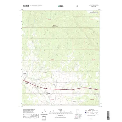 2020 San Jose2020 Print · USGSThe Pecos River valley in San Miguel County is shown here in its modern context, featuring several traditional riverside settlements. Genealogists and historians can trace the community layouts of San Jose, Lucero, and El Ancon along the river and near Lucero Canyon.
 - 2023 Map of San Jose, 2023 Print
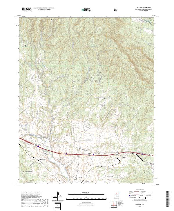 2023 San Jose2023 Print · USGSThe Pecos River valley in San Miguel County is documented here in the early 2020s, showing the enduring layouts of riverside villages. Local historians can trace family locations and land use near San Jose, Ribera, and the San Jose Cem.
End of results
Showing maps 1-14 of 14
Top cities near San Jose
Frequently asked questions
- What are the different types of historical maps available for San Jose?
- What is the oldest map of San Jose?
- Where can I purchase historical maps of San Jose for my home or office?
- Where can I download high-res historical maps of San Jose?
- Are there historical topographic maps available for San Jose?
- Is there historical aerial imagery available for San Jose?
- Where are historical maps of San Jose sourced from?