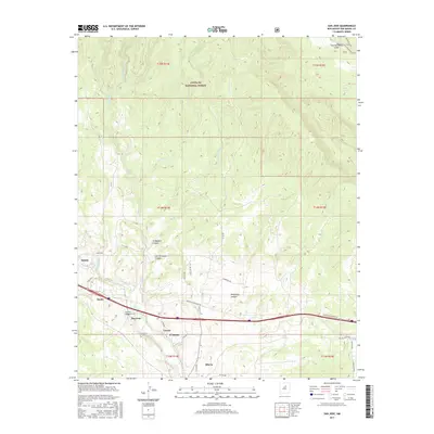
2017 Map of San Jose
USGS Topo · Published 2017About this map
The Pecos River carves a deep valley through this portion of San Miguel County, anchoring a string of traditional New Mexican settlements including San Jose, Lucero, El Ancon, and Ribera. The landscape is defined by the sharp transition from the wooded heights of the Santa Fe National Forest in the north to the river-bottom agriculture and transportation corridors in the south. Many of these communities are connected by a network of local roads such as Co Rd B41A and State Hwy 3, which trace the contours of the land around Lucero Canyon and Telephone Canyon. Farther north, the terrain becomes increasingly complex, marked by numerous drainages like Mortandad Cr and El Barro Cr. This area illustrates the enduring settlement patterns of the upper Pecos, where small villages remain clustered near the water source while the surrounding canyons like La Madera Canyon and Tres Hermanos Cañon dominate the high country.
Find a feature on this map
41 named features on this map. Tap any name to fly to it.
Don’t see what you’re looking for? This feature index may not catch every label — zoom into the map to look around manually.
Map Details
Editions of this 2017 San Jose Map
This is the sole edition of this map. No revisions or reprints were ever made.
Other maps of this area

1889 · Las Vegas
USGS Topo · 1:125,000

1889 · Santa Fe
USGS Topo · 1:125,000

1890 · Bernal
USGS Topo · 1:125,000

1891 · Bernal
USGS Topo · 1:125,000

1891 · Las Vegas
USGS Topo · 1:125,000

1893 · Las Vegas
USGS Topo · 1:125,000

1894 · Santa Fe
USGS Topo · 1:125,000

1894 · Bernal
USGS Topo · 1:125,000

1894 · Lamy
USGS Topo · 1:125,000

1954 · Santa Fe
USGS Topo · 1:250,000