Old Maps of Francisco Rascon Place, New Mexico for Academic Research
Study the evolution of Francisco Rascon Place with 9 high-resolution historic maps. Whether you're teaching, researching, or modeling changes in land use, these maps provide essential visual documentation of urban, environmental, and geographic change.
- Analyze long-term change: Track patterns in development, transportation, and natural features.
- Ideal for environmental or urban studies: Support academic projects with primary historical map data.
- Use in the classroom or lab: Educators and researchers rely on these maps to bring historical context to life.
These maps are a powerful tool for teaching, research, and visualizing how Francisco Rascon Place has changed over the decades.
Francisco Rascon Place, NM maps
(9)- 1954 Map of Tularosa, 1963 Print
 1954 Tularosa1963 Print · USGSSouth-central New Mexico in the early fifties shows a landscape of desert basins and high peaks under heavy military and water-reclamation use. Trace the path of the Atchison Topeka and Santa Fe Railway past San Marcial and into the massive White Sands Proving Ground.4 unique versions available
 - 1958 Map of Tularosa
 1958 Tularosa1958 Print · USGSSouthern New Mexico in the late fifties shows a landscape of military expansion and deep-rooted river settlements. Trace family history in Truth or Consequences or locate the ruins of San Marcial and the remote Dusty Post Office.2 unique versions available
 - 1963 Map of Bell Mountain, 1965 Print
 1963 Bell Mountain1965 Print · USGSSierra County ranching and rugged topography are frozen in time during the early sixties. Researchers can trace remote desert homesteads and vital water infrastructure through landmarks like Francisco Rascon Place, Ladders Ranch, and Higgins Well.
 - 1979 Map of Truth or Consequences
 1979 Truth or Consequences1979 Print · USGSSierra County in the late seventies is a landscape of massive reservoirs and remote mining districts. Researchers can trace the Rio Grande corridor from Truth or Consequences past historic outposts like Winston, Chloride, and the Republic Mine.2 unique versions available
 - 2010 Map of Bell Mountain, 2010 Print
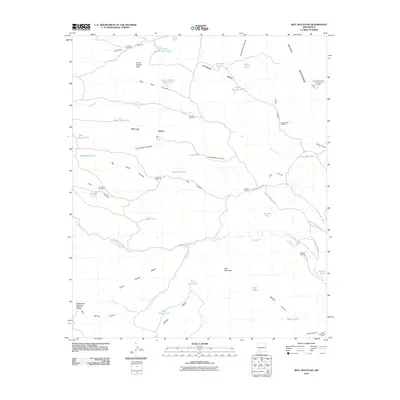 2010 Bell Mountain2010 Print · USGSSierra County ranch lands and high mesas are captured here at the start of the decade, showing the remote infrastructure of the New Mexico interior. Researchers can trace historic family locations like Francisco Rascon Place and the Ladder Ranch alongside the Salado Mountains Fluorspar Deposit.
 - 2013 Map of Bell Mountain, 2013 Print
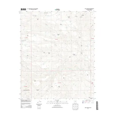 2013 Bell Mountain2013 Print · USGSSierra County ranching and high-desert terrain are mapped here in the early twenty-first century. Researchers can trace land use through named improvements like Francisco Rascon Place, Ladder Ranch, and the complex network of water features at Warm Spring.
 - 2017 Map of Bell Mountain, 2017 Print
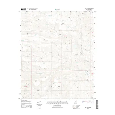 2017 Bell Mountain2017 Print · USGSSierra County's high desert peaks and ranching terrain are captured here in the late twenty-tens. Researchers can trace historic water rights and land use through features like Johnson Mesa, Warm Spring, and the numerous tanks including Miller Mesa Tank.
 - 2020 Map of Bell Mountain, 2020 Print
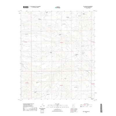 2020 Bell Mountain2020 Print · USGSSierra County's high mesas and livestock country are documented here in the early twenty-first century. Researchers can trace land use through water features like East South Salado Peak Tank and family-named landmarks such as Johnson Mesa and Wanda Canyon.
 - 2023 Map of Bell Mountain, 2023 Print
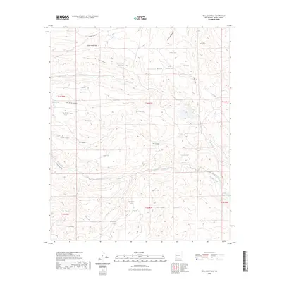 2023 Bell Mountain2023 Print · USGSThe high-desert ranchlands of Sierra County appear in detail during the early 2020s, revealing a landscape defined by isolated water tanks and mesa landforms. Researchers can trace the drainage of Las Animas Creek and locate remote features like Bodine Spring or Bell Mtn.
End of results
Showing maps 1-9 of 9
Frequently asked questions
- What are the different types of historical maps available for Francisco Rascon Place?
- What is the oldest map of Francisco Rascon Place?
- Where can I purchase historical maps of Francisco Rascon Place for my home or office?
- Where can I download high-res historical maps of Francisco Rascon Place?
- Are there historical topographic maps available for Francisco Rascon Place?
- Is there historical aerial imagery available for Francisco Rascon Place?
- Where are historical maps of Francisco Rascon Place sourced from?