Old Maps of Bingham, New Mexico for Academic Research
Study the evolution of Bingham with 11 high-resolution historic maps. Whether you're teaching, researching, or modeling changes in land use, these maps provide essential visual documentation of urban, environmental, and geographic change.
- Analyze long-term change: Track patterns in development, transportation, and natural features.
- Ideal for environmental or urban studies: Support academic projects with primary historical map data.
- Use in the classroom or lab: Educators and researchers rely on these maps to bring historical context to life.
These maps are a powerful tool for teaching, research, and visualizing how Bingham has changed over the decades.
Bingham, NM maps
(11)- 1918 Map of Oscura Peak
 1918 Oscura Peak1918 Print · USGSSocorro and Lincoln counties appear here in the early twentieth century as a landscape of isolated ranches and rugged mining prospects. Genealogists and historians can locate early family-named sites like Bursum, Estey, and Chihuahua Ranch near the Oscura Range.
 - 1948 Map of Bingham, 1954 Print
 1948 Bingham1954 Print · USGSRanching life and mining ventures met the dawn of the atomic age in central New Mexico during the late 1940s. Genealogists can trace family holdings like the Coker Headquarters or B Lucero Ranch alongside local landmarks like the White Store and Royal Flush Mine.
 - 1954 Map of Tularosa, 1963 Print
 1954 Tularosa1963 Print · USGSSouth-central New Mexico in the early fifties shows a landscape of desert basins and high peaks under heavy military and water-reclamation use. Trace the path of the Atchison Topeka and Santa Fe Railway past San Marcial and into the massive White Sands Proving Ground.4 unique versions available
 - 1958 Map of Tularosa
 1958 Tularosa1958 Print · USGSSouthern New Mexico in the late fifties shows a landscape of military expansion and deep-rooted river settlements. Trace family history in Truth or Consequences or locate the ruins of San Marcial and the remote Dusty Post Office.2 unique versions available
 - 1982 Map of Wrye Peak
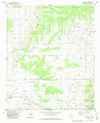 1982 Wrye Peak1982 Print · USGSSocorro County ranching and rugged desert terrain are documented here in the early 1980s. Researchers can trace historic family-named locations like Wrye Ranch and Hinkle Ranch or follow the path of Iron Mine Road toward the canyonlands.2 unique versions available
 - 1982 Map of Oscura Mountains, 1983 Print
 1982 Oscura Mountains1983 Print · USGSSocorro County in the early eighties reveals the meeting point of high-desert wilderness and military history. Genealogists and researchers can trace the Rio Grande settlements of San Antonio and Val Verde or locate the historic Trinity Site.
 - 2010 Map of Wrye Peak, 2010 Print
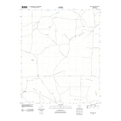 2010 Wrye Peak2010 Print · USGSBingham and the surrounding desert high country are captured here during the first decade of the new millennium. Genealogists and historians can trace family operations at the B Lucero Ranch and Hinkle Ranch, or locate landmarks like Antelope Mound and Iron Mine Ridge.
 - 2013 Map of Wrye Peak, 2013 Print
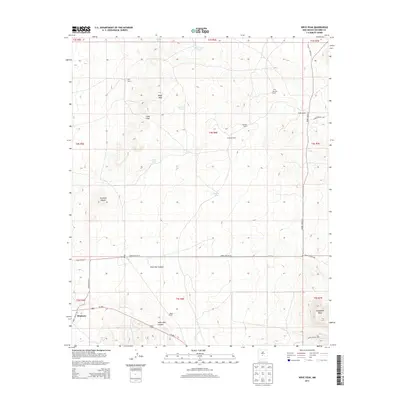 2013 Wrye Peak2013 Print · USGSBingham and the surrounding Socorro County ranchlands are documented here during the early twenty-first century. Family history researchers can trace local holdings like Wyre Ranch and Dean Ranch or locate geographic landmarks such as Antelope Mound.
 - 2017 Map of Wrye Peak, 2017 Print
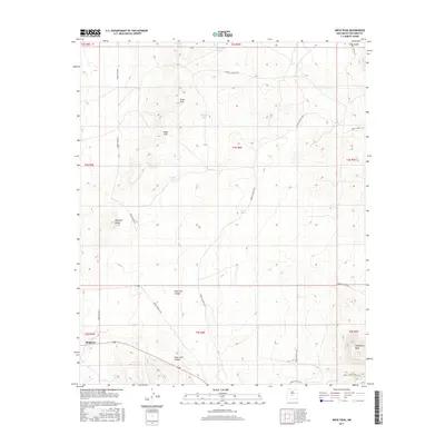 2017 Wrye Peak2017 Print · USGSThe settlement of Bingham and the northern reaches of the Chupadera Mesa are documented here in the late twenty-tens. Researchers can trace water sources like Bence Tank and topographic features such as Wrye Peak and Hoot Owl Canyon.
 - 2020 Map of Wrye Peak, 2020 Print
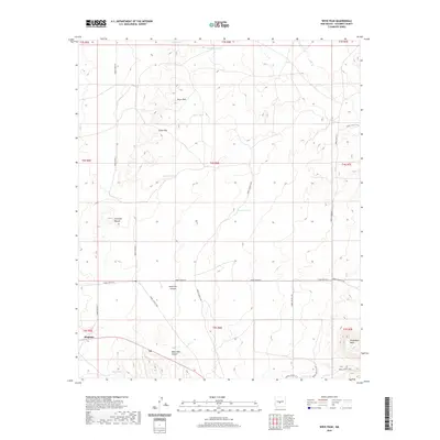 2020 Wrye Peak2020 Print · USGSBingham and the surrounding Socorro County highlands are documented here during the early twenty-first century. Researchers can trace remote desert routes and water catchments like O'Neal Tank or identify high-altitude landmarks such as Wrye Peak and Chupadera Mesa.
 - 2023 Map of Wrye Peak, 2023 Print
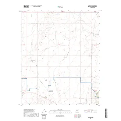 2023 Wrye Peak2023 Print · USGSSocorro County's high desert and military landscape are captured here in the early twenty-first century. Researchers can trace the boundaries of the White Sands Missile Range and locate landmarks like Bingham, Wrye Peak, and Hoot Owl Canyon.
End of results
Showing maps 1-11 of 11
Frequently asked questions
- What are the different types of historical maps available for Bingham?
- What is the oldest map of Bingham?
- Where can I purchase historical maps of Bingham for my home or office?
- Where can I download high-res historical maps of Bingham?
- Are there historical topographic maps available for Bingham?
- Is there historical aerial imagery available for Bingham?
- Where are historical maps of Bingham sourced from?