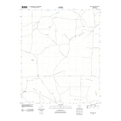
2010 Map of Wrye Peak
USGS Topo · Published 2010About this map
White Sands Missile Range dominates this portion of the New Mexico desert, creating a landscape where military activity and traditional ranching coexist. The small settlement of Bingham and the Bingham Post Office serve as the primary human anchors in an area defined by deep landform features like Yellow Dog Canyon and Hoot Owl Canyon. The presence of several named family ranch sites, including Wyre Ranch, Pearson Ranch, and Romero Ranch, indicates the persistent pastoral footprint within this restricted-access territory. Water management is critical in this arid environment, evidenced by a network of catchment systems such as Lucero Tank, O'Neal Tank, and McDougal Tank. These features, alongside natural landmarks like Wrye Peak and Cedar Pass, trace the topography of a region shaped by both its volcanic geology and its modern strategic importance.
Find a feature on this map
29 named features on this map. Tap any name to fly to it.
Don’t see what you’re looking for? This feature index may not catch every label — zoom into the map to look around manually.
Map Details
Editions of this 2010 Wrye Peak Map
This is the sole edition of this map. No revisions or reprints were ever made.
Other maps of this area

1918 · Oscura Peak
USGS Topo · 1:125,000

1948 · Broken Back Crater
USGS Topo · 1:62,500

1948 · Bingham
USGS Topo · 1:62,500

1954 · Tularosa
USGS Topo · 1:250,000

1954 · Socorro
USGS Topo · 1:250,000

1958 · Socorro
USGS Topo · 1:250,000

1958 · Tularosa
USGS Topo · 1:250,000

1962 · Socorro
USGS Topo · 1:250,000

1972 · Turkey Ridge SW
USGS Topo · 1:24,000

1972 · Wilson Ranch
USGS Topo · 1:24,000