Old Maps of Anderson Park, New Mexico for Academic Research
Study the evolution of Anderson Park with 10 high-resolution historic maps. Whether you're teaching, researching, or modeling changes in land use, these maps provide essential visual documentation of urban, environmental, and geographic change.
- Analyze long-term change: Track patterns in development, transportation, and natural features.
- Ideal for environmental or urban studies: Support academic projects with primary historical map data.
- Use in the classroom or lab: Educators and researchers rely on these maps to bring historical context to life.
These maps are a powerful tool for teaching, research, and visualizing how Anderson Park has changed over the decades.
Anderson Park, NM maps
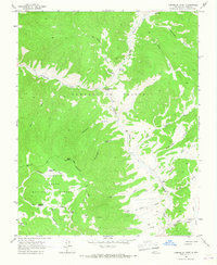
(10)- 1954 Map of Raton, 1963 Print
 1954 Raton1963 Print · USGSNorthern New Mexico's high-country and plains are documented here in the early sixties, showing the region's ranching and mining infrastructure. Trace the legacy of the Maxwell Land Grant, locate remote rural sites like Tafoya School, and follow the Atchison Topeka and Santa Fe Railway through the heart of Raton.3 unique versions available
 - 1958 Map of Raton
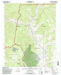
 1958 Raton1958 Print · USGSNorthern New Mexico and the Colorado borderlands are mapped here in the late fifties, showcasing a landscape of high peaks and historic land grants. Genealogists and historians can trace families across Picuris Pueblo, find old schoolhouses like Piedra Lumbre School, or follow the Atchison Topeka and Santa Fe rail line.3 unique versions available
 - 1963 Map of Comanche Point, 1967 Print
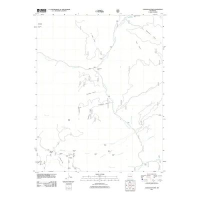
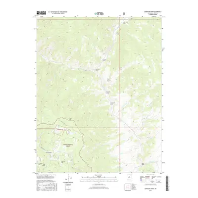
 1963 Comanche Point1967 Print · USGSHigh in the Sangre de Cristo mountains during the early sixties, this area preserves the mining and ranching heritage of Taos County. Researchers can trace remote mountain outposts and mining history at the Midnight Mine, La Cueva Camp, and La Belle Lodge.2 unique versions available
 - 1982 Map of Wheeler Peak, 1983 Print
 1982 Wheeler Peak1983 Print · USGSNorthern New Mexico in the early eighties shows a high-altitude landscape of historic mining camps and massive land grants. Researchers can trace the Old Railroad Grade near Elizabethtown or locate remote sites like the French-Henry Mine and Vermejo Park.
 - 1995 Map of Comanche Point, 1997 Print
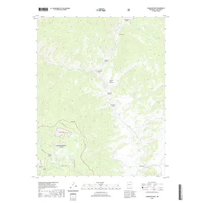
 1995 Comanche Point1997 Print · USGSHigh in the Sangre De Cristo Mountains during the mid-nineties, this area shows a landscape of forest management and early mining. Genealogists and historians can trace routes to the Midnight Mine or locate seasonal sites like La Belle Lodge and La Cueva Camp.
 - 2011 Map of Comanche Point, 2011 Print
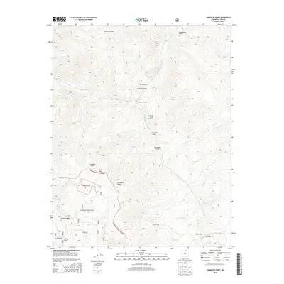
 2011 Comanche Point2011 Print · USGSCovers Anderson Park, including Taos County, United States, and other nearby areas
 - 2013 Map of Comanche Point, 2013 Print
 2013 Comanche Point2013 Print · USGSCovers Anderson Park, including Taos County, United States, and other nearby areas
 - 2017 Map of Comanche Point, 2017 Print
 2017 Comanche Point2017 Print · USGSCovers Anderson Park, including Taos County, United States, and other nearby areas
 - 2020 Map of Comanche Point, 2020 Print
 2020 Comanche Point2020 Print · USGSCovers Anderson Park, including Taos County, United States, and other nearby areas
 - 2023 Map of Comanche Point, 2023 Print
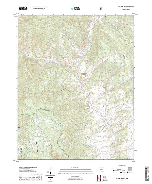 2023 Comanche Point2023 Print · USGSTaos County’s high mountain wilderness is captured here in the modern era, showing the intersection of the Culebra Range and Valle Vidal. Trace old mining and ranching legacies through features like the Anchor Mine/Bitter Ck Rd, the Sanchez parcel, and North Hole Spring.
End of results
Showing maps 1-10 of 10
Top cities near Anderson Park
- Questa historical maps
- Red River historical maps
- Eagle Nest historical maps
- Costilla historical maps
- Taos Ski Valley historical maps
Frequently asked questions
- What are the different types of historical maps available for Anderson Park?
- What is the oldest map of Anderson Park?
- Where can I purchase historical maps of Anderson Park for my home or office?
- Where can I download high-res historical maps of Anderson Park?
- Are there historical topographic maps available for Anderson Park?
- Is there historical aerial imagery available for Anderson Park?
- Where are historical maps of Anderson Park sourced from?