
1954 Map of Raton
USGS Topo · Published 1963About this map
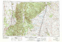
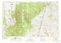
Wheeler Peak and the high peaks of the Sangre de Cristo Mountains dominate the western horizon of this mid-century New Mexico landscape. The map captures a region defined by massive land holdings and high-altitude industry, notably the vast Maxwell Land Grant and a Molybdenum Mine situated in the northern peaks. Settlement patterns follow the historic transportation corridors, with Raton and Springer serving as key hubs along the Atchison Topeka and Santa Fe Railway and U S Highway 85.
Find a feature on this map
54 named features on this map. Tap any name to fly to it.
Don’t see what you’re looking for? This feature index may not catch every label — zoom into the map to look around manually.
Map Details
Editions of this 1954 Raton Map
3 editions found
Other maps of this area

1889 · Las Vegas
USGS Topo · 1:125,000

1889 · Santa Fe
USGS Topo · 1:125,000

1891 · Las Vegas
USGS Topo · 1:125,000

1891 · Spanish Peaks
USGS Topo · 1:125,000

1891 · Mesa De Maya
USGS Topo · 1:125,000

1892 · Santa Clara
USGS Topo · 1:125,000

1892 · Watrous
USGS Topo · 1:125,000

1892 · Elmoro
USGS Topo · 1:125,000

1893 · Spanish Peaks
USGS Topo · 1:125,000

1893 · Las Vegas
USGS Topo · 1:125,000