Loading...
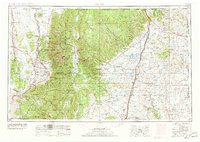
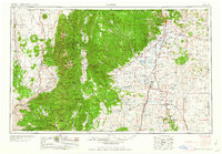
Loading map...1954 Map of Raton
USGS Topo · Published 1977About this map
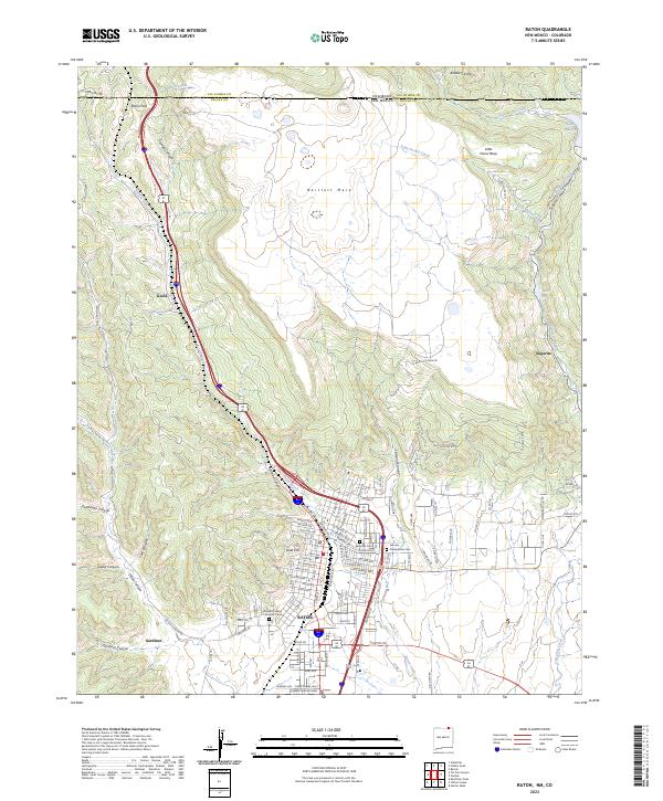
The Sangre de Cristo Mountains dominate this high-altitude landscape, where the peaks of the Taos Mountains and Fernando Mountains meet the high plains. Revised in the mid-1970s, the map reveals a complex intersection of Indigenous land, national forests, and frontier settlements. The Taos Pueblo Indian Reservation and Picuris Pueblo Ind Res represent ancient ancestral ties to the land, while the presence of Elizabethtown and numerous Gravel Pits point to more recent resource extraction.
Find a feature on this map
130 named features on this map. Tap any name to fly to it.
Don’t see what you’re looking for? This feature index may not catch every label — zoom into the map to look around manually.
Map Details
Date Portrayed1954
Date Published1977
PublisherU.S. Geological Survey
Map TypeTopographic
Scale1:250,000
Physical Dimensions31.7 x 22.4 inches
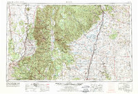
Editions of this 1954 Raton Map
3 editions found

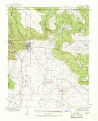
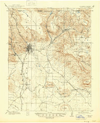
Historical Maps of Taos Through Time
11 maps found

Featured Locations
Source Details
SourceU.S. Geological Survey
CopyrightPublic Domain