Old Maps of Hayden, New Mexico for Academic Research
Study the evolution of Hayden with 8 high-resolution historic maps. Whether you're teaching, researching, or modeling changes in land use, these maps provide essential visual documentation of urban, environmental, and geographic change.
- Analyze long-term change: Track patterns in development, transportation, and natural features.
- Ideal for environmental or urban studies: Support academic projects with primary historical map data.
- Use in the classroom or lab: Educators and researchers rely on these maps to bring historical context to life.
These maps are a powerful tool for teaching, research, and visualizing how Hayden has changed over the decades.
Hayden, NM maps
(8)- 1954 Map of Tucumcari, 1965 Print
 1954 Tucumcari1965 Print · USGSThe high plains along the New Mexico and Texas border come alive in this mid-century survey, just as the regional highway network was maturing. Trace the historic route of U.S. 66 through Glenrio and San Jon or locate remote rail sidings like Rehm Station and Obar.2 unique versions available
 - 1958 Map of Tucumcari
 1958 Tucumcari1958 Print · USGSEastern New Mexico and the Texas Panhandle meet in this mid-century survey of the high plains ranching and rail corridor. Researchers can trace the path of Mother Road travelers through Tucumcari and Glenrio or locate remote rail stops like Nara Visa Station and Hartley Station.
 - 1966 Map of Hayden, 1968 Print
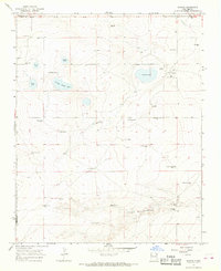 1966 Hayden1968 Print · USGSNortheastern New Mexico ranching country is captured here during the mid-sixties along the Union and Harding County line. Genealogists and local historians can trace family operations at Heimann Ranch and Jacobs Ranch or locate the community Cem and Rodeo Ground near Hayden.
 - 2010 Map of Hayden, 2010 Print
 2010 Hayden2010 Print · USGSCovers Hayden, including Union County, Harding County, and other nearby areas
 - 2013 Map of Hayden, 2013 Print
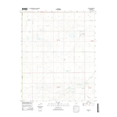 2013 Hayden2013 Print · USGSCovers Hayden, including Union County, Harding County, and other nearby areas
 - 2017 Map of Hayden, 2017 Print
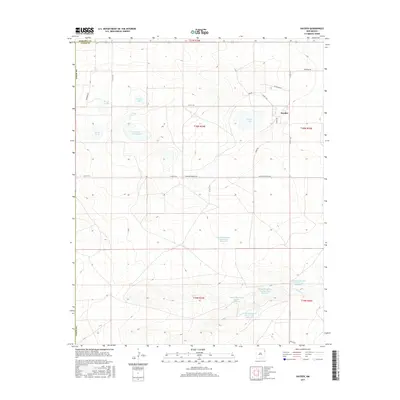 2017 Hayden2017 Print · USGSCovers Hayden, including Union County, Harding County, and other nearby areas
 - 2020 Map of Hayden, 2020 Print
 2020 Hayden2020 Print · USGSCovers Hayden, including Union County, Harding County, and other nearby areas
 - 2023 Map of Hayden, 2023 Print
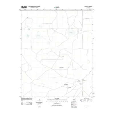
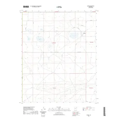
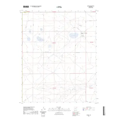 2023 Hayden2023 Print · USGSThe high plains of Union County are captured here in a detailed modern study of ranching country and the settlement of Hayden. Researchers can locate Hayden Cem and trace the drainage of Monia Creek alongside local landmarks like Lowry Lake.
End of results
Showing maps 1-8 of 8
Frequently asked questions
- What are the different types of historical maps available for Hayden?
- What is the oldest map of Hayden?
- Where can I purchase historical maps of Hayden for my home or office?
- Where can I download high-res historical maps of Hayden?
- Are there historical topographic maps available for Hayden?
- Is there historical aerial imagery available for Hayden?
- Where are historical maps of Hayden sourced from?