2020s Maps of Los Lunas, New Mexico
Explore 8 historic maps of Los Lunas from the 2020s. These maps offer a rare glimpse into what life looked like during the 2020s — showing old roads, neighborhoods, homes, and landmarks that have changed or disappeared over time.
Whether you're researching your family's past, planning a metal detecting trip, or studying how Los Lunas's landscape evolved across the 2020s, these high-resolution maps are a powerful tool for exploring the history of this region.
- Focus on a specific era: All maps on this page are from the 2020s, giving you a focused view of this time period.
- See what’s changed: Compare century-old streets, trails, and buildings to today's modern landscape using overlays and satellite layers.
- Research with precision: Use these maps for genealogy, historical research, land use analysis, or educational projects.
- View, download, or print: Maps are fully viewable online in high resolution, and can be downloaded or printed for your own records.
Start exploring Los Lunas's history through authentic maps from the 2020s. This is your window into the past.
Los Lunas, NM maps
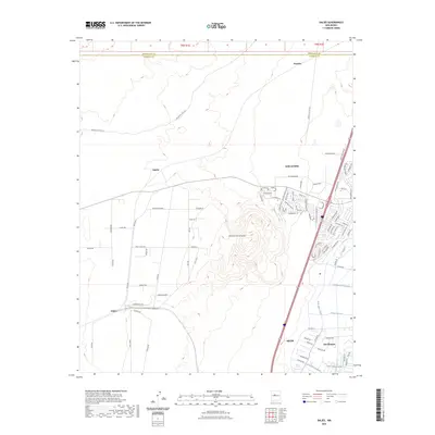
(8)- 2020 Map of Dalies, 2020 Print
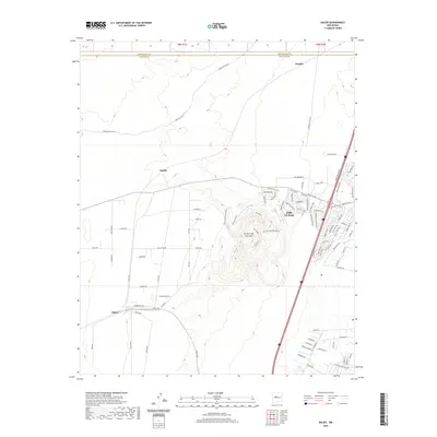 2020 Dalies2020 Print · USGSCovers Los Lunas, including Dalies, Paquita, and other nearby areas
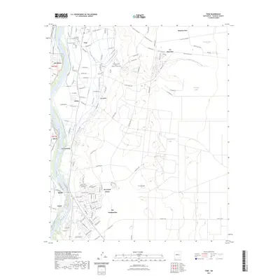
 - 2020 Map of Tome, 2020 Print
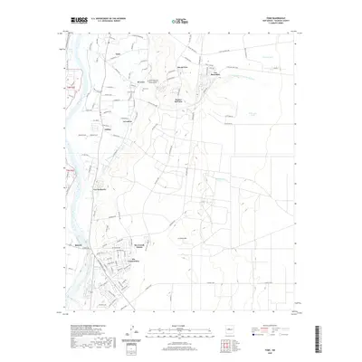 2020 Tome2020 Print · USGSCovers Los Lunas, including Belen, Rio Communities, and other nearby areas
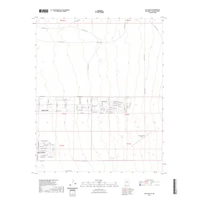
 - 2020 Map of Los Lunas SE, 2020 Print
 2020 Los Lunas SE2020 Print · USGSCovers Los Lunas, including Meadow Lake, Valencia County, and other nearby areas
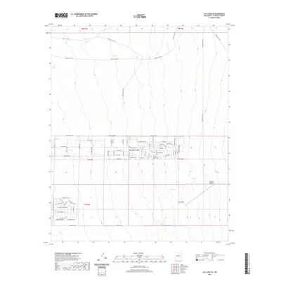
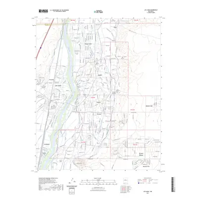
 - 2020 Map of Los Lunas, 2020 Print
 2020 Los Lunas2020 Print · USGSCovers Los Lunas, including Bosque Farms, Peralta, and other nearby areas
 - 2023 Map of Dalies, 2023 Print
 2023 Dalies2023 Print · USGSValencia County at the start of the 2020s shows a landscape of transition between high-desert terrain and valley irrigation. Genealogists and historians can trace residential growth near Los Lunas or follow the water through the New Belen Ditch and Prison Lateral.
 - 2023 Map of Tome, 2023 Print
 2023 Tome2023 Print · USGSValencia County’s river valley comes to life in the early 2020s, showing the intersection of historic irrigation and modern growth. Trace local family roots at Tome Cem and El Cemeterio de los Ricos or explore the settlements of Adelino and La Ladera.
 - 2023 Map of Los Lunas, 2023 Print
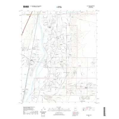
 2023 Los Lunas2023 Print · USGSThe Rio Grande valley settlements south of Albuquerque are shown here in their modern context, where traditional irrigation meets 21st-century growth. Researchers can trace ancestral sites at Los Lentes Cem or follow the historic water path of the Chical Ditch.
 - 2023 Map of Los Lunas SE, 2023 Print
 2023 Los Lunas SE2023 Print · USGSThe growing desert communities of eastern Valencia County are documented here in the early 2020s. Researchers can trace the modern residential footprints of Meadow Lake and El Cerro Mission or locate natural features like Maes Spring and Carrizo Spring.
End of results
Showing maps 1-8 of 8
Top cities near Los Lunas
- Albuquerque historical maps
- Belen historical maps
- Rio Communities historical maps
- Bosque Farms historical maps
- Peralta historical maps
- Valencia historical maps
Top neighborhoods of Los Lunas
- Los Lentes historical maps
- El Cerro Mission historical maps
- Meadow Lake historical maps
- Monterey Park historical maps
- Valencia historical maps
Frequently asked questions
- What are the different types of historical maps available for Los Lunas?
- What is the oldest map of Los Lunas?
- Where can I purchase historical maps of Los Lunas for my home or office?
- Where can I download high-res historical maps of Los Lunas?
- Are there historical topographic maps available for Los Lunas?
- Is there historical aerial imagery available for Los Lunas?
- Where are historical maps of Los Lunas sourced from?