Old Maps of Los Lunas, New Mexico for Metal Detecting
Plan your next treasure hunt with 32 historic maps of Los Lunas. Find old homesites, ghost towns, trails, and gathering spots that may be lost to time — perfect for identifying promising metal detecting locations.
- Locate forgotten sites: Uncover places like long-lost settlements, abandoned rail lines, or gathering spots.
- Plan better hunts: Use map overlays combined with LiDAR or satellite views to narrow in on historically rich areas.
- Made for detectorists: Thousands of hobbyists use these maps to discover relics, coins, and hidden history.
Use these historic maps to boost your research and find new opportunities beneath the surface of Los Lunas.
Los Lunas, NM maps
(32)- 1952 Map of Dalies, 1953 Print
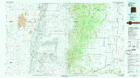
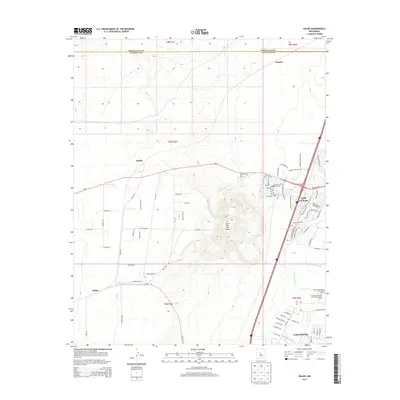
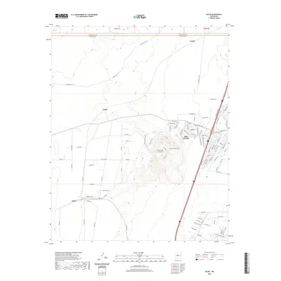
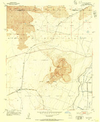 1952 Dalies1953 Print · USGSThe high desert south of Albuquerque was a land of sprawling rail junctions and historic land grants in the early fifties. Genealogists and historians can trace the rail networks at Dalies or locate the New Mexico Penitentiary Farm and El Cerro de los Lunas.2 unique versions available
 - 1952 Map of Tome, 1953 Print
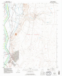
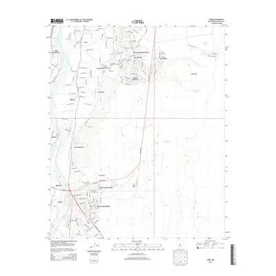
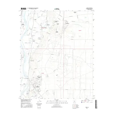
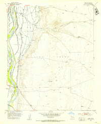 1952 Tome1953 Print · USGSThe Rio Grande valley south of Albuquerque was a hub of traditional irrigation and land grant settlements in the early fifties. Genealogists and historians can trace the family-named communities of Tome, Adelino, and La Constancia alongside the AT & SF rail line.3 unique versions available
 - 1952 Map of Los Lunas SE, 1953 Print
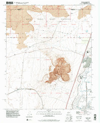
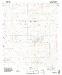
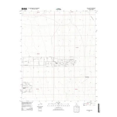
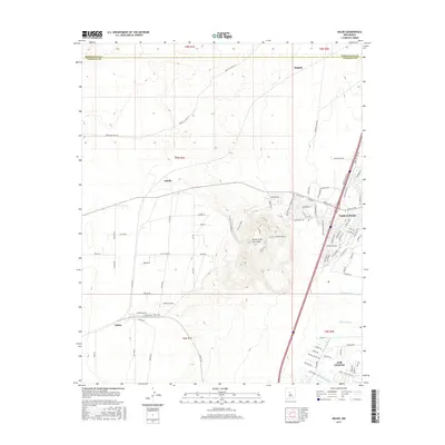
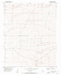 1952 Los Lunas SE1953 Print · USGSValencia County land grants and desert springs characterize this early 1950s survey of the New Mexico territory. Local historians and genealogists can trace the boundaries of the Juan Otero Grant and find isolated landmarks like Maes Spring or the Windmill.2 unique versions available
 - 1952 Map of Los Lunas, 1954 Print
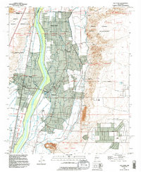
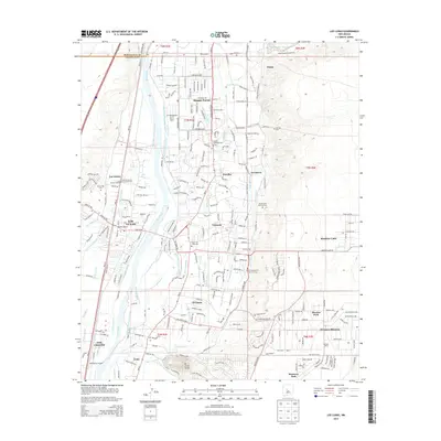
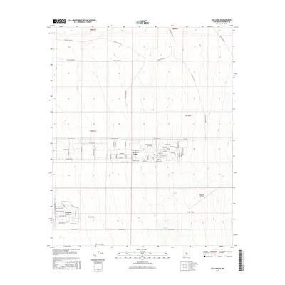
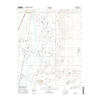
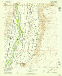 1952 Los Lunas1954 Print · USGSThe Rio Grande valley comes alive in this mid-century survey of Valencia County, showing the intricate network of canals and historic land grants. Genealogists can locate family landmarks like Romero Ranch, El Camposanto de la Liverta, and the Chical Indian School.3 unique versions available
 - 1954 Map of Socorro, 1972 Print
 1954 Socorro1972 Print · USGSMid-century New Mexico comes into focus as the Rio Grande valley and the surrounding high desert undergo post-war growth. Genealogists and historians can trace old mountain settlements like Tajique and Punta de Agua or locate remote sites like the Torrance Mine.2 unique versions available
 - 1958 Map of Socorro
 1958 Socorro1958 Print · USGSNew Mexico's high desert during the late fifties reveals a landscape of massive land grants and remote mining outposts. Researchers can trace the path of the Atchison Topeka and Santa Fe railroad as it connects Socorro and Belen to industrial sites like the Manganese Mill.
 - 1962 Map of Socorro
 1962 Socorro1962 Print · USGSCentral New Mexico comes alive in the early sixties as the rail-and-river corridor of the Rio Grande connects historic pueblos and ranching towns. Local historians can trace the route of the Atchison Topeka and Santa Fe through Belen or locate the Torrance Mine near Mountainair.
 - 1979 Map of Belen
 1979 Belen1979 Print · USGSThe Rio Grande Valley south of Albuquerque in the late seventies reveals a landscape of historic land grants and modern subdivisions. Trace the rail-and-river corridor through Belen and Isleta Pueblo, or find high-elevation landmarks in Cibola National Forest.2 unique versions available
 - 1991 Map of Dalies, 1996 Print
 1991 Dalies1996 Print · USGSThe High Desert of Valencia County in the early nineties reveals a landscape of historic land grants and volcanic heights. Researchers can trace the rail junction at Dalies and explore the complex water systems of the Belen Highline Canal near Los Lunas.2 unique versions available
 - 1991 Map of Tome, 1996 Print
 1991 Tome1996 Print · USGSThe Rio Grande valley near Belen appears in the early 1990s as a landscape of historic land grants and vital irrigation systems. Researchers can trace the layout of traditional settlements like Tome and Adelino alongside the Tome Ditch and Tome Cemetery.
 - 1991 Map of Los Lunas, 1996 Print
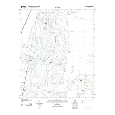
 1991 Los Lunas1996 Print · USGSThe Rio Grande valley in the early nineties reveals a complex landscape of ancestral land grants and modern irrigation. Researchers can trace historic property lines like the Tome Grant or find family sites at Los Lentes Cem and El Camposanto de la Liverte.
 - 1991 Map of Los Lunas SE, 1996 Print
 1991 Los Lunas SE1996 Print · USGSValencia County is shown in the early 1990s as a landscape defined by historic Spanish land grants and indigenous territory. Researchers can trace the boundaries of the Lo De Padilla Grant and the Tome Grant or locate natural water sources like Maes Spring.
 - 2010 Map of Tome, 2010 Print
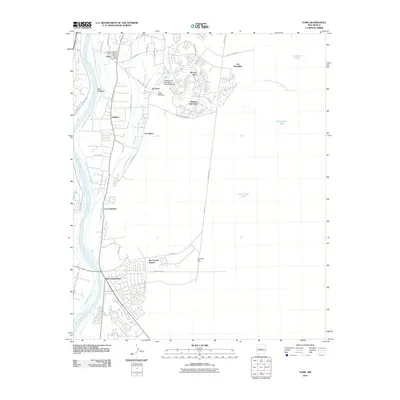 2010 Tome2010 Print · USGSCovers Los Lunas, including Belen, Rio Communities, and other nearby areas
 - 2010 Map of Los Lunas SE, 2010 Print
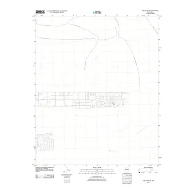 2010 Los Lunas SE2010 Print · USGSCovers Los Lunas, including Meadow Lake, Valencia County, and other nearby areas
 - 2010 Map of Dalies, 2010 Print
 2010 Dalies2010 Print · USGSCovers Los Lunas, including Dalies, Paquita, and other nearby areas
 - 2010 Map of Los Lunas, 2010 Print
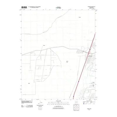
 2010 Los Lunas2010 Print · USGSCovers Los Lunas, including Bosque Farms, Peralta, and other nearby areas
 - 2013 Map of Los Lunas, 2013 Print
 2013 Los Lunas2013 Print · USGSCovers Los Lunas, including Bosque Farms, Peralta, and other nearby areas
 - 2013 Map of Los Lunas SE, 2013 Print
 2013 Los Lunas SE2013 Print · USGSCovers Los Lunas, including Meadow Lake, Valencia County, and other nearby areas
 - 2013 Map of Tome, 2013 Print
 2013 Tome2013 Print · USGSCovers Los Lunas, including Belen, Rio Communities, and other nearby areas
 - 2013 Map of Dalies, 2013 Print
 2013 Dalies2013 Print · USGSCovers Los Lunas, including Dalies, Paquita, and other nearby areas
 - 2017 Map of Los Lunas SE, 2017 Print
 2017 Los Lunas SE2017 Print · USGSCovers Los Lunas, including Meadow Lake, Valencia County, and other nearby areas
 - 2017 Map of Tome, 2017 Print
 2017 Tome2017 Print · USGSCovers Los Lunas, including Belen, Rio Communities, and other nearby areas
 - 2017 Map of Dalies, 2017 Print
 2017 Dalies2017 Print · USGSCovers Los Lunas, including Dalies, Paquita, and other nearby areas
 - 2017 Map of Los Lunas, 2017 Print
 2017 Los Lunas2017 Print · USGSCovers Los Lunas, including Bosque Farms, Peralta, and other nearby areas
 - 2020 Map of Dalies, 2020 Print
 2020 Dalies2020 Print · USGSCovers Los Lunas, including Dalies, Paquita, and other nearby areas
Showing maps 1-25 of 32
Top cities near Los Lunas
- Albuquerque historical maps
- Belen historical maps
- Rio Communities historical maps
- Bosque Farms historical maps
- Peralta historical maps
- Valencia historical maps
Top neighborhoods of Los Lunas
- Los Lentes historical maps
- El Cerro Mission historical maps
- Meadow Lake historical maps
- Monterey Park historical maps
- Valencia historical maps
Frequently asked questions
- What are the different types of historical maps available for Los Lunas?
- What is the oldest map of Los Lunas?
- Where can I purchase historical maps of Los Lunas for my home or office?
- Where can I download high-res historical maps of Los Lunas?
- Are there historical topographic maps available for Los Lunas?
- Is there historical aerial imagery available for Los Lunas?
- Where are historical maps of Los Lunas sourced from?