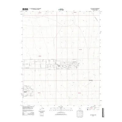
2013 Map of Los Lunas SE
USGS Topo · Published 2013About this map
Meadow Lake and the residential development of El Cerro Mission anchor this portion of Valencia County, revealing the suburban expansion on the high mesas east of the Rio Grande. The layout of the area is defined by an extensive grid of residential streets, including family-named and local identifiers such as Bella Vista, Siesta Ln, and Mesa Estates Rd. This 2013 survey illustrates the modern transition of the landscape from open range to a structured community, while still acknowledging natural landmarks like Maes Spring and Carrizo Spring. Transportation and infrastructure are vital to the area's character, evidenced by the presence of the Manzano-Mountain Air Ranch Airport and specialized thoroughfares like Indian Service Route 591. The map provides a detailed view of the high desert plateau's development, where once-open lands now feature established loops and circles such as Cordero Loop and Cereza Cir.
Find a feature on this map
66 named features on this map. Tap any name to fly to it.
Don’t see what you’re looking for? This feature index may not catch every label — zoom into the map to look around manually.
Map Details
Editions of this 2013 Los Lunas SE Map
This is the sole edition of this map. No revisions or reprints were ever made.
Other maps of this area

1917 · Estancia
USGS Topo · 1:125,000

1952 · Tome NE
USGS Topo · 1:24,000

1952 · Hubbell Spring
USGS Topo · 1:24,000

1952 · Tome
USGS Topo · 1:24,000

1952 · Los Lunas SE
USGS Topo · 1:24,000

1952 · Los Lunas
USGS Topo · 1:24,000

1952 · Isleta
USGS Topo · 1:24,000

1954 · Bosque Peak
USGS Topo · 1:24,000

1954 · Capilla Peak
USGS Topo · 1:24,000

1954 · Mount Washington
USGS Topo · 1:24,000