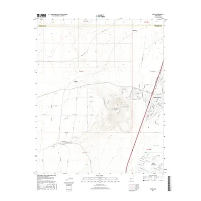
2017 Map of Dalies
USGS Topo · Published 2017About this map
El Cerro De Los Lunas dominates the central landscape of this Valencia County region, rising above the Rio Grande valley floor with distinct geological features such as the El Cerro Bowl and El Cerro W Escarpment. The eastern portion of the map shows the residential expansion of Los Lunas and Los Chaves, where modern subdivisions like Huning Ranch Loop meet the traditional agricultural irrigation infrastructure of the New Belen Ditch and Prison Lateral.
Find a feature on this map
90 named features on this map. Tap any name to fly to it.
Don’t see what you’re looking for? This feature index may not catch every label — zoom into the map to look around manually.
Map Details
Editions of this 2017 Dalies Map
This is the sole edition of this map. No revisions or reprints were ever made.
Other maps of this area

1952 · Wind Mesa
USGS Topo · 1:24,000

1952 · Dalies
USGS Topo · 1:24,000

1952 · Belen
USGS Topo · 1:24,000

1952 · Belen NW
USGS Topo · 1:24,000

1952 · Rio Puerco
USGS Topo · 1:24,000

1952 · Tome
USGS Topo · 1:24,000

1952 · Los Lunas
USGS Topo · 1:24,000

1952 · Isleta
USGS Topo · 1:24,000

1952 · Dalies NW
USGS Topo · 1:24,000

1954 · Socorro
USGS Topo · 1:250,000